Since our founding, Cadasta has focusing on being the leading provider of technical tools and services to support the documentation of land and resource rights to build stronger, more sustainable communities. By making it easier to efficiently document, store, manage, and share land and resource rights information, we aim to build a world where even the most marginalized individuals and communities can benefit from the opportunities afforded by secure land and natural resource rights.
In the two years since our platform’s initial release, our work has expanded to include partnerships with 28 organizations in 13 countries, and the documentation of land and resource rights for more than 100,000 households.
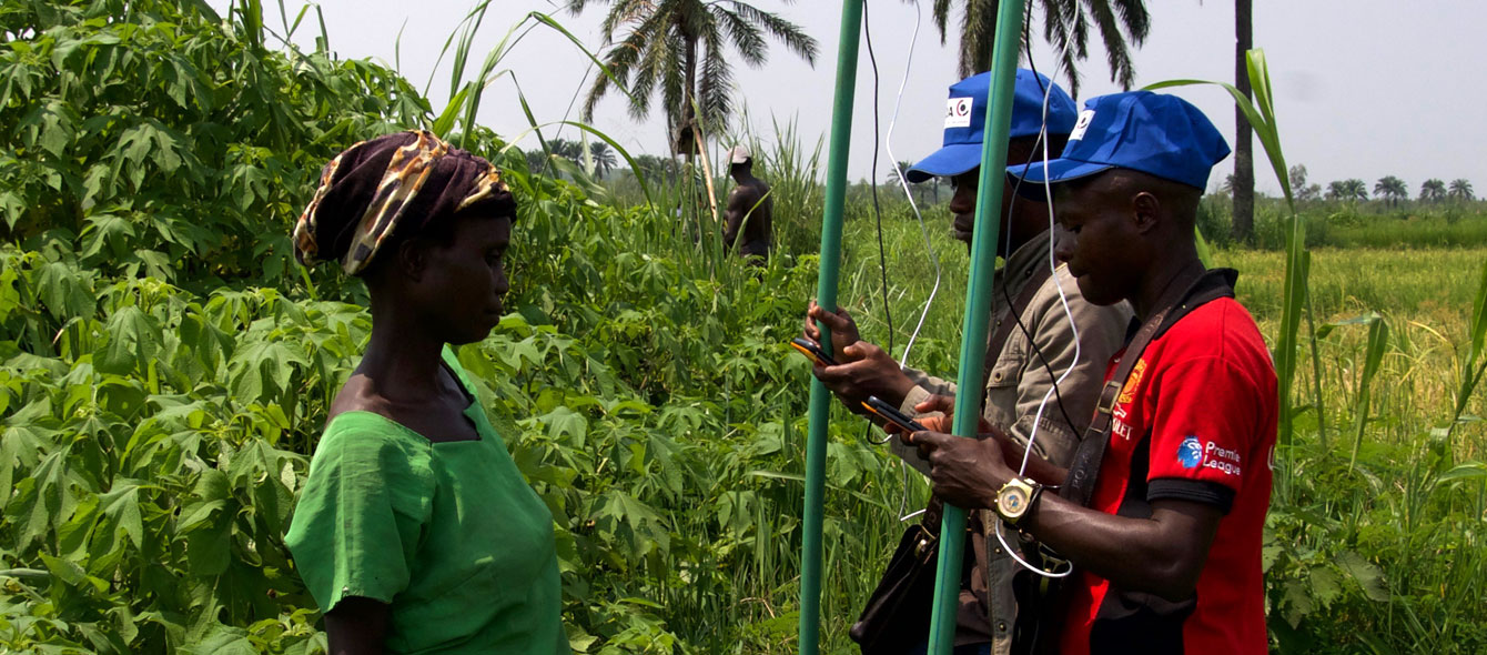
With an organizational commitment to the Principles for Digital Development, our technology is built to be both scalable and accessible so that even our partners with limited or no experience using information technology can be quickly trained to use our tools. Partner feedback is also integral to our technical development process. Whether in the fields of rural India or in a partner office in San Francisco, our platform and tool development is driven and shaped directly by user input.
Key learnings from the past two years of working with partners have highlighted a number of needed improvements. To most efficiently address these limitations, we are partnering with Esri to develop and launch the Cadasta Platform 2.0.
By collaborating with Esri for this next iteration of our platform, Cadasta will be able to provide more robust, scalable, and flexible services to partners all while maintaining our commitment to accessibility, security, and privacy. Some of the specific improvements that come with the Cadasta Platform 2.0 include:
- Greater flexibility to explore and manage the data you collect and store on the Cadasta platform;
- The ability to create web-based applications;
- Enhanced mobile data collection tools;
- The ability to create printed statements for individual data sets for data review and approval, or for formal recognition of rights by authorities;
- Richer cartography tools for data visualisation and custom map designs;
- Improved importing and exporting capabilities from a wider variety of data formats; and
- The ability to combine maps with narrative text, images, and multimedia content to create compelling, user-friendly web apps and stories.
From July 2018 onwards, the Cadsta team will be working to onboard all new and existing partners to the Cadasta Platform 2.0 as we begin to transition over to the Esri environment. We will work with each partner individually to develop a timeline for training and data migration.
Throughout the coming months, we will also be publishing a series of blogs that will provide details, tips, and examples of how the newly improved platform features can help you document your land and resource rights. Be sure to visit our blog regularly and follow us on social media to get the latest!
If you have any questions or concerns that you would like to discuss — or have not heard from your Cadasta point of contact about your training and migration — please contact us at info@cadasta.org.


