


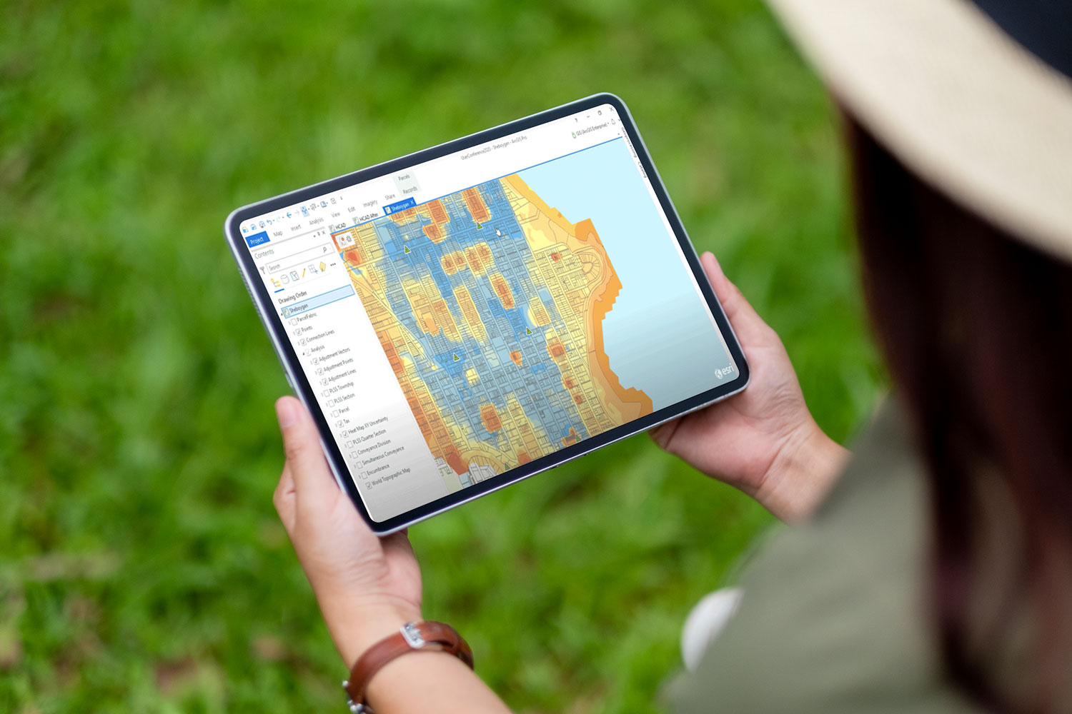
The Cadasta Platform is an integrated suite of geospatial tools, hardware, and customized support services designed to help communities, governments, and organizations document, analyze, and protect land and resource rights.
Built on Esri technology–including ArcGIS Online or ArcGIS Enterprise, Survey123, FieldMaps–Trimble and Bad Elf hardware, and Cadasta-built dashboards and webmaps, our platform offers a flexible, secure, and accessible solution for land tenure and resource management.
Mobile, offline-ready tools to map land parcels, forests, and community resources.
Real-time dashboards and interactive maps to track progress and inform advocacy.
Secure, cloud-based systems to manage digital records and protect sensitive data.
Role-based access that enables collaboration with governments, civil society, and donors while ensuring community control of data.
Turn evidence into influence by integrating community data into official land systems and policy decisions.

Discover how Cadasta’s tools and technology can support your work. Request a personalized demo to explore how we help partners map land, document rights, and drive impact from the ground up.

Offline capabilities and mobile tools designed for remote areas.
Ensuring that information remains with those who generate it.
Meeting international standards for privacy and data protection.
Meeting international standards for privacy and data protection.
Deployed in 50+ countries, supporting millions of people and 182,000+ official land documents.
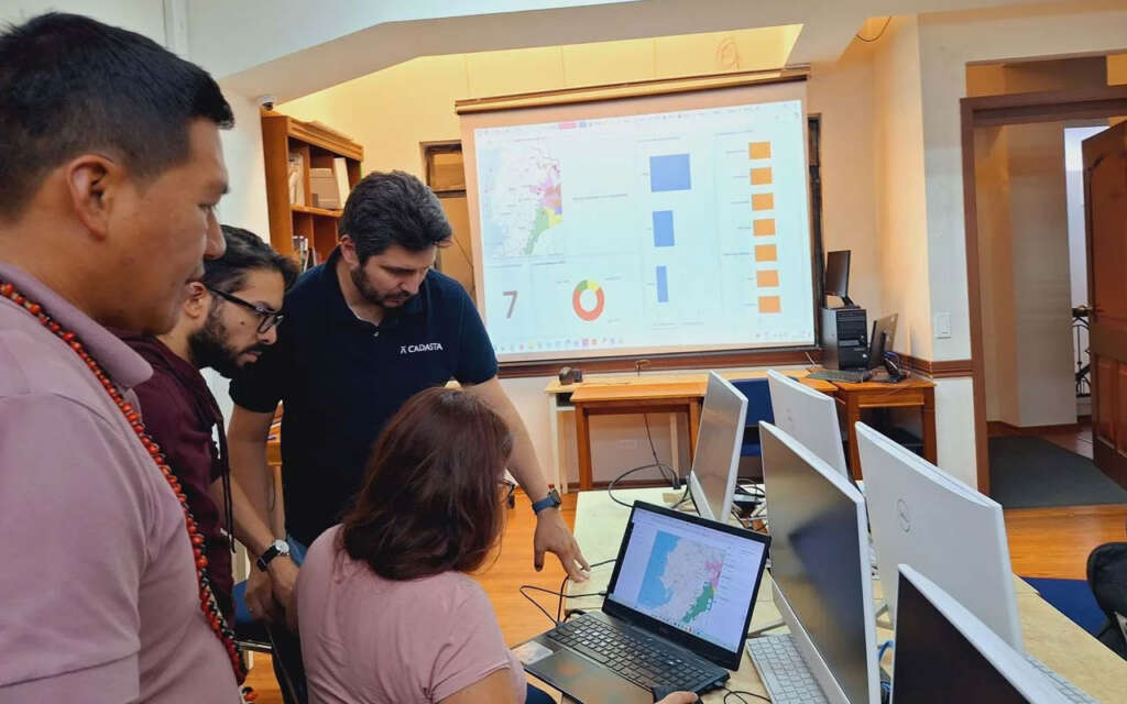
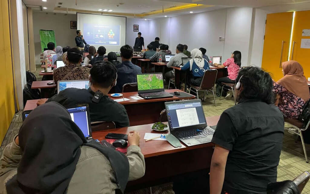
Delivering technology and training that equips partners and communities to secure, protect, and defend their land.

Cadasta’s technology is built on the principle that data belongs to the people who create it. Every project is guided by community ownership, consent, and control, ensuring that land and resource information is used ethically and securely.
Learn more about how we uphold privacy, protect rights, and promote responsible data use on our Data Sovereignty & Governance page.
Whether you are a grassroots organization, government agency, or global NGO, Cadasta equips you with the tools and knowledge to document land rights, strengthen governance, and build resilience.
A proud member of the Corus International family.