About Cadasta
Securing Land. Unlocking Opportunity.
Land is more than property–it’s the foundation of security, economic opportunity, and climate resilience. Yet, over one billion people around the world lack secure land rights, leaving them vulnerable to displacement, land grabs, and resource loss.
Founded in 2015, Cadasta partners with organizations that work alongside local communities, Indigenous leaders, and governments to document and secure land and resource rights using accessible, GIS-enabled technology. Together, we are creating lasting digital records of land, property, and resources, helping partners strengthen tenure security, inform policy, and build resilient futures.
Our Vision
Our Vision is a world where everyone enjoys secure land and resource rights that unlock opportunities for current and future generations.
Our Mission
Our mission is to unlock the social, economic, and environmental benefits of equitable land tenure by providing mapping technology, training, and services to organizations representing and supporting tenure-insecure communities.
How We Work
Cadasta delivers locally-led, technology-enabled solutions that put communities in control of their land and resources.
Land Mapping & Documentation
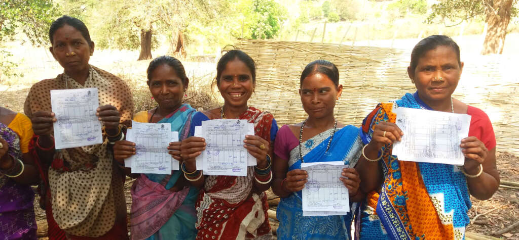
Offline-ready GIS tools to digitally record and map land and resources, ensuring transparency and accessibility.
Training & Capacity Building
Customized, hands-on training and ongoing technical support to build local expertise.
Community Engagement & Advocacy
Collaboration with Indigenous groups, grassroots organizations, local communities, and development organizations to advance equitable, inclusive land rights.
Data Visualization & Analysis
Real-time dashboards and secure cloud storage to turn land data into actionable insights for climate action, governance, and sustainable development.
Policy & Governance Support
Integrating community-sourced data into official registries and policies.
Our Global Impact
Communities
Hectares of Land Mapped
People Documented
Government Land Documents Issued
Each map, dataset, and certificate represents not just land–but livelihoods secured, families protected, and futures made more resilient.
Why Cadasta?
Delivering technology and training that equips partners and communities to secure, protect, and defend their land.
Configurable Technology
Built on Esri, adapted for remote and low-connectivity environments.
User-Friendly Tools
Designed for use by communities with minimal technical expertise.
Secure & Scalable
Compliant with global data security standards.
Collaborative Approach
Centered on local ownership, participation, and data sovereignty.
What’s in a Name?
The name Cadasta is inspired by the word “cadastre,” which is defined as:
“a public record, survey, or map of the value, extent and ownership of land”
This concept is at the heart of our work: building effective and inclusive land information systems that capture the rights of those most often left off the map.
Discover the Power of Land Rights
With your support, communities can claim their land, protect forests, and shape resilient futures. Be part of the movement for justice and climate action.


