


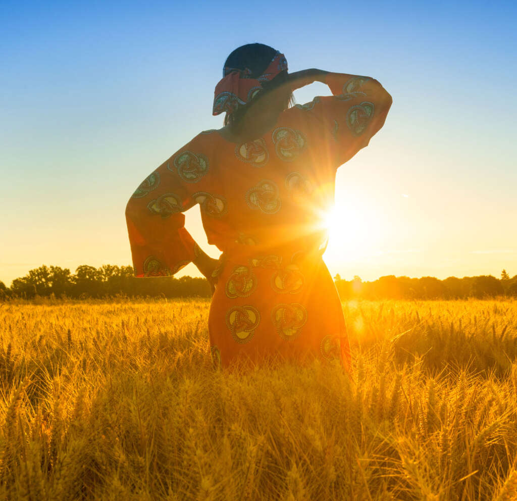
Since 2015, Cadasta has evolved from a start-up experiment into a global leader in documenting and securing land and resource rights. Our journey has been marked by bold pivots, technological milestones, and deep collaboration with communities, governments, and organizations worldwide.
From our early open-source platform to today’s accessible and scalable Esri-based solution, local leaders in nearly 7,000 communities have mapped over 31 million hectares of land, documented over 7.2 million people, and secured more than 182,000 government land documents. This timeline highlights how technology, partnerships, and purpose have driven lasting impact.

With support from Omidyar Network (ON) and the UK Department for International Development (DFID)—now the Foreign, Commonwealth and Development Office (FCDO)—Cadasta was founded to create a world where all people can benefit from secure land and resource rights.


With support from Omidyar Network (ON) and the UK Department for International Development (DFID)—now the Foreign, Commonwealth and Development Office (FCDO)—Cadasta was founded to create a world where all people can benefit from secure land and resource rights.
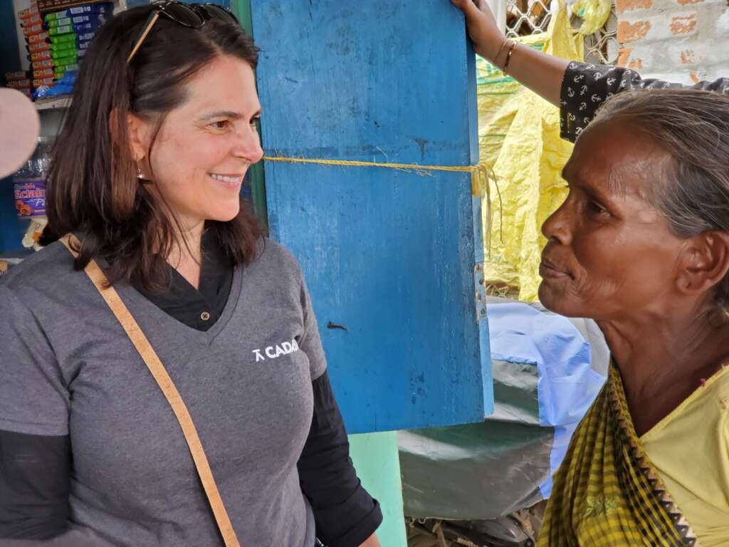
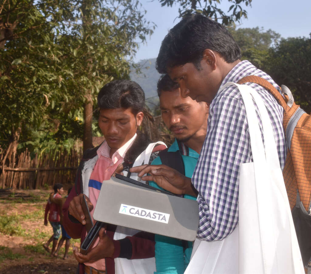
Cadasta signed an agreement with Esri and launched its first large-scale project with Tata Trusts in India. A new CEO was hired to lead the organization through this pivot. By year’s end, 1 million people had been documented.
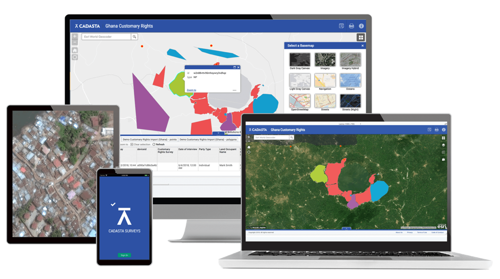
Launched a new three-year strategy and Esri-based platform with a stronger partner support model, training curriculum, and data security framework. Nearly 1.7 million people were documented by year’s end.
Despite the global pandemic, Cadasta onboarded 25 new partners, launched an online Training and Support Center, and released Global Impact Dashboard 2.0. By year’s end, nearly 5 million people and 11.7 million hectares were documented.
Cadasta set a bold goal: by 2040, catalyze systems change leading to secure land rights for half the world’s one billion tenure-insecure people. By year’s end, 5.6 million people and 20.5 million hectares were documented.
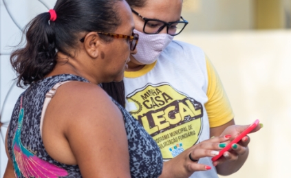
Working with 99 implementing partners and five governments, Cadasta supported the issuance of nearly 180,000 formal documents, including 3,000 to women-led households in Brazil. We also received the Esri Sustainable Development Award for helping partners utilize Esri technology to meet global sustainable development goals. By year’s end, 6.3 million people were documented.

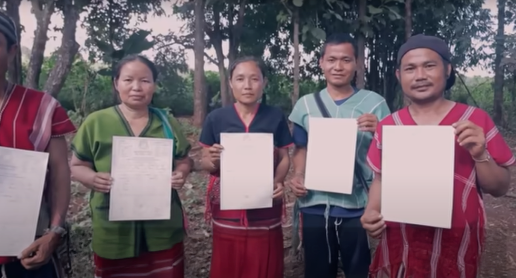
Launched with support from UK International Development from the UK government, the Strengthening Land and Forest Rights Program engaged Indigenous Peoples, Afro-descendant Peoples, and Local Communities across 13 countries to secure 3.8 million hectares. By year’s end, 6.9 million people and 24.5 million hectares were documented.
Cadasta surpassed 30 million hectares documented across 6,800 communities. Independent evaluations in India and Uganda showed reduced land disputes and increased economic opportunity.
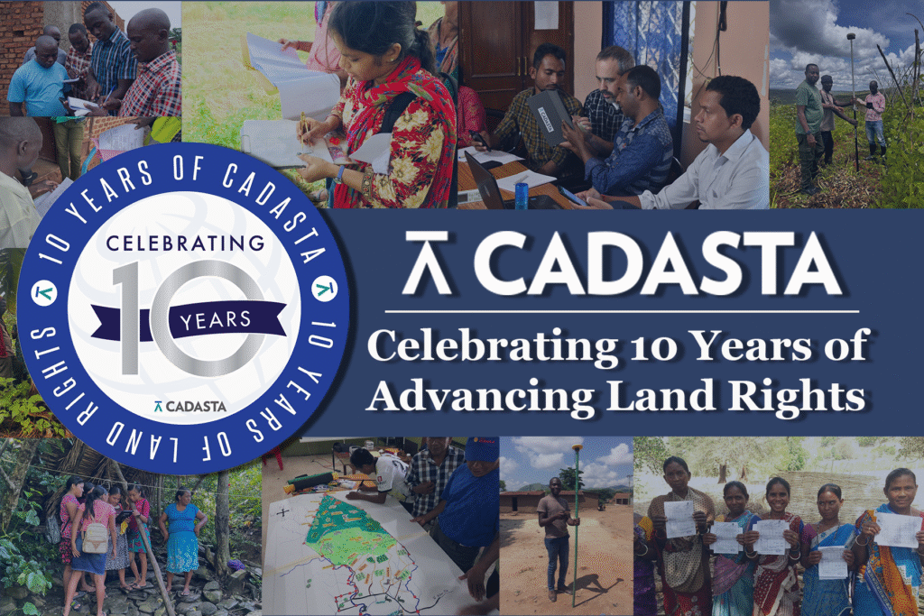
Cadasta’s tools and training have supported 7.2 million people, 1.5 million households, 6,970 communities, and 182,072 land documents across 50 countries, strengthening tenure security and climate resilience worldwide.
Cadasta joined Corus International, bringing its land and geospatial expertise into a broader development platform. As an independent subsidiary, Cadasta retains its autonomy and contributes to Corus’ integrated, cross-sector solutions that connect community land data to systems that shape livelihoods, resilience, and long-term development.
A proud member of the Corus International family.