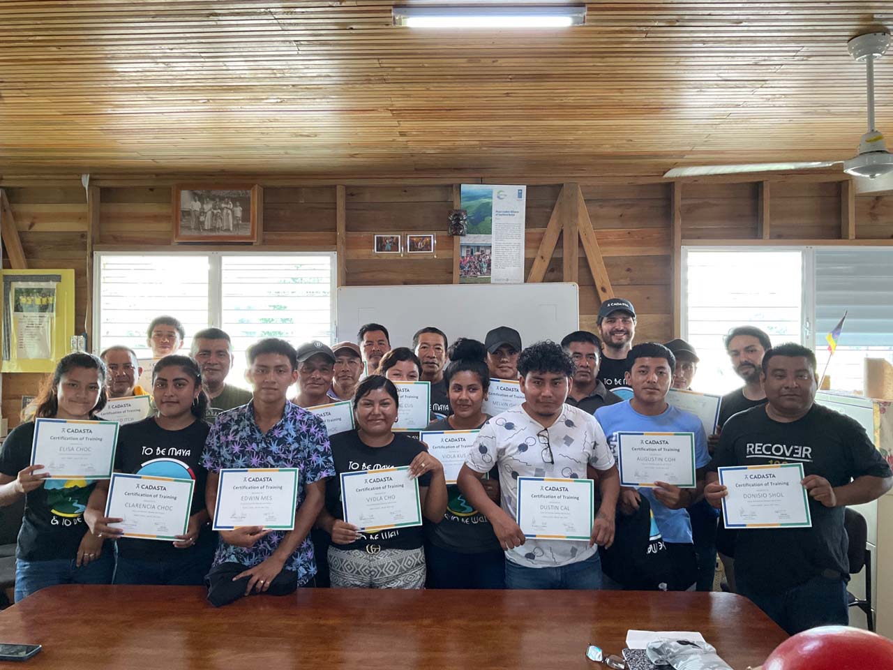
With Maya communities, JCS and partners mapped 25,000+ hectares, trained 150+ mappers, and advanced land rights through community-led GIS and validation.
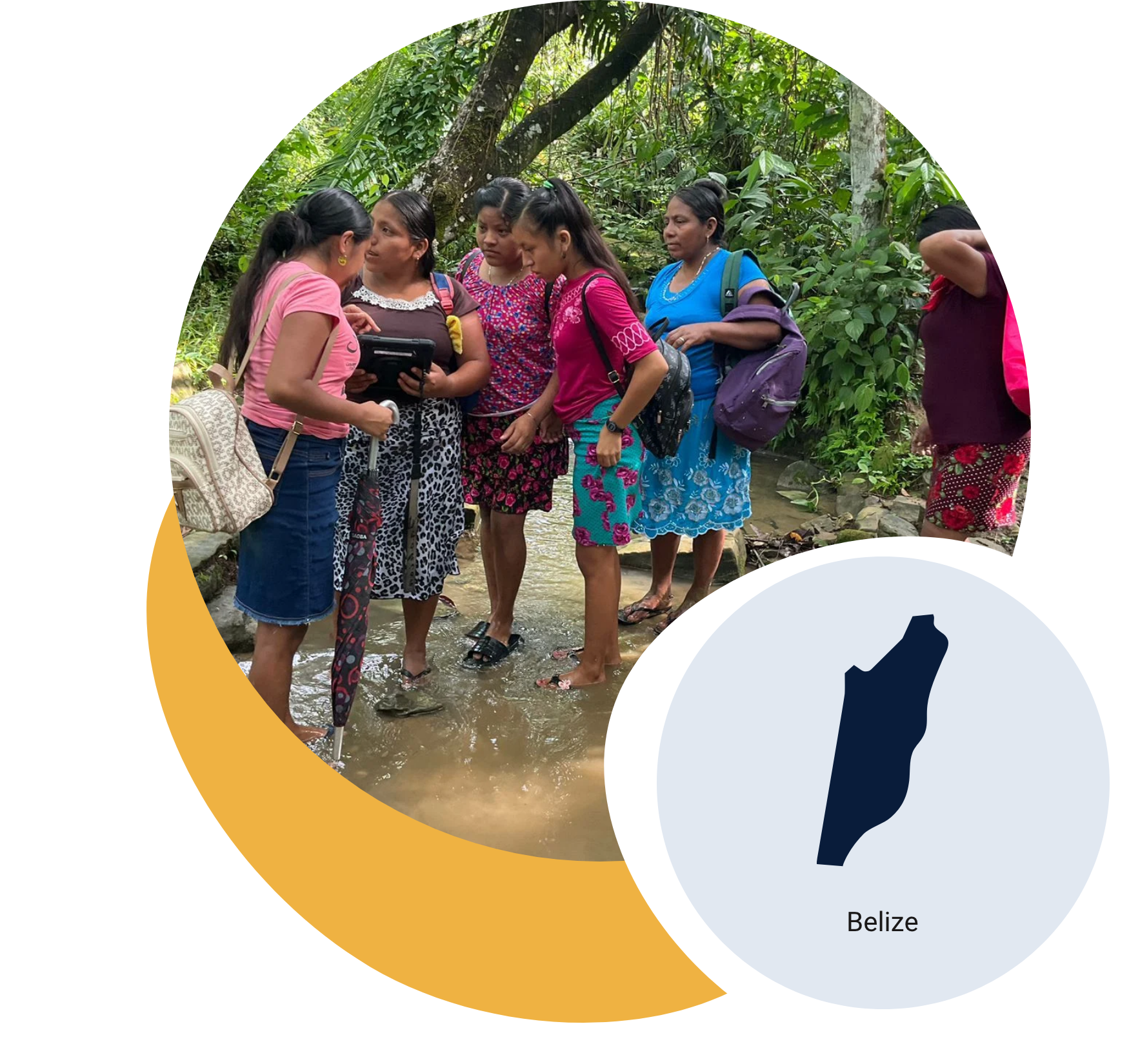
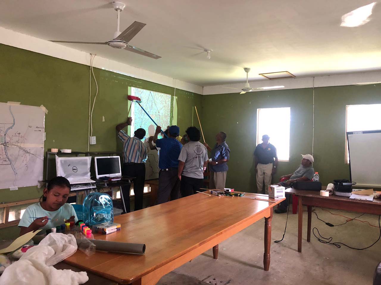
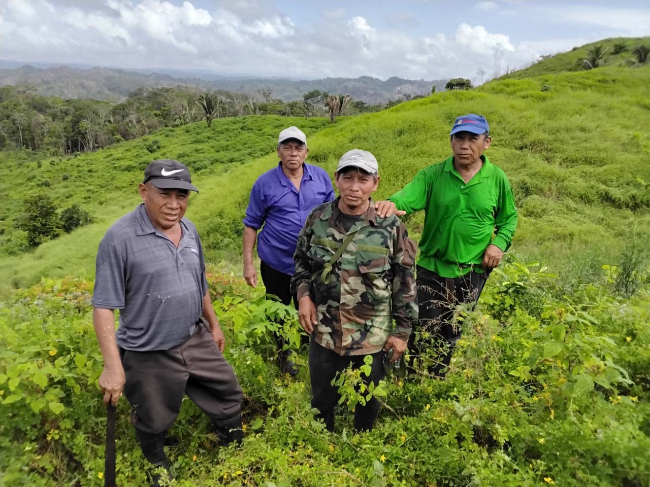
Despite a landmark 2015 court ruling affirming Maya land rights, all 41 communities in Southern Belize still lack formal titles. In partnership with JCS, the Toledo Alcaldes Association, and the Maya Leaders Alliance, Cadasta supported six Maya villages to map and document 25,000 hectares of ancestral land.
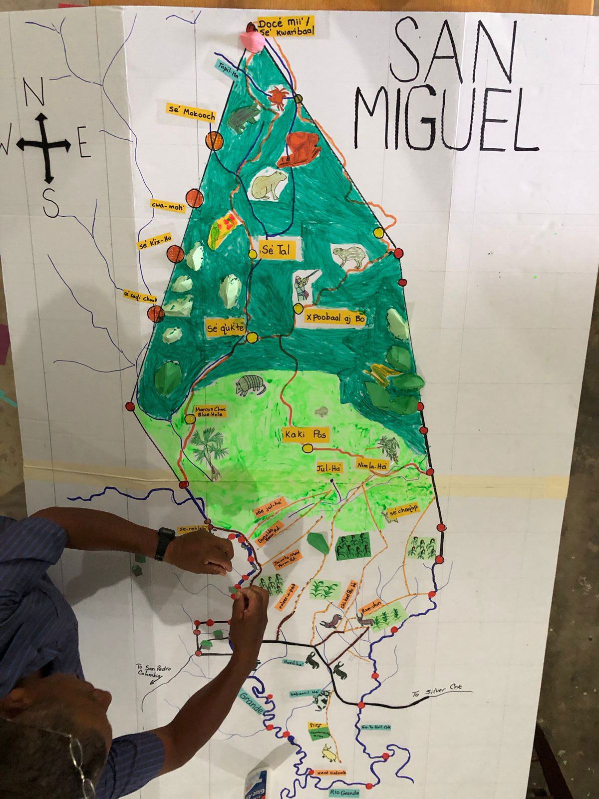
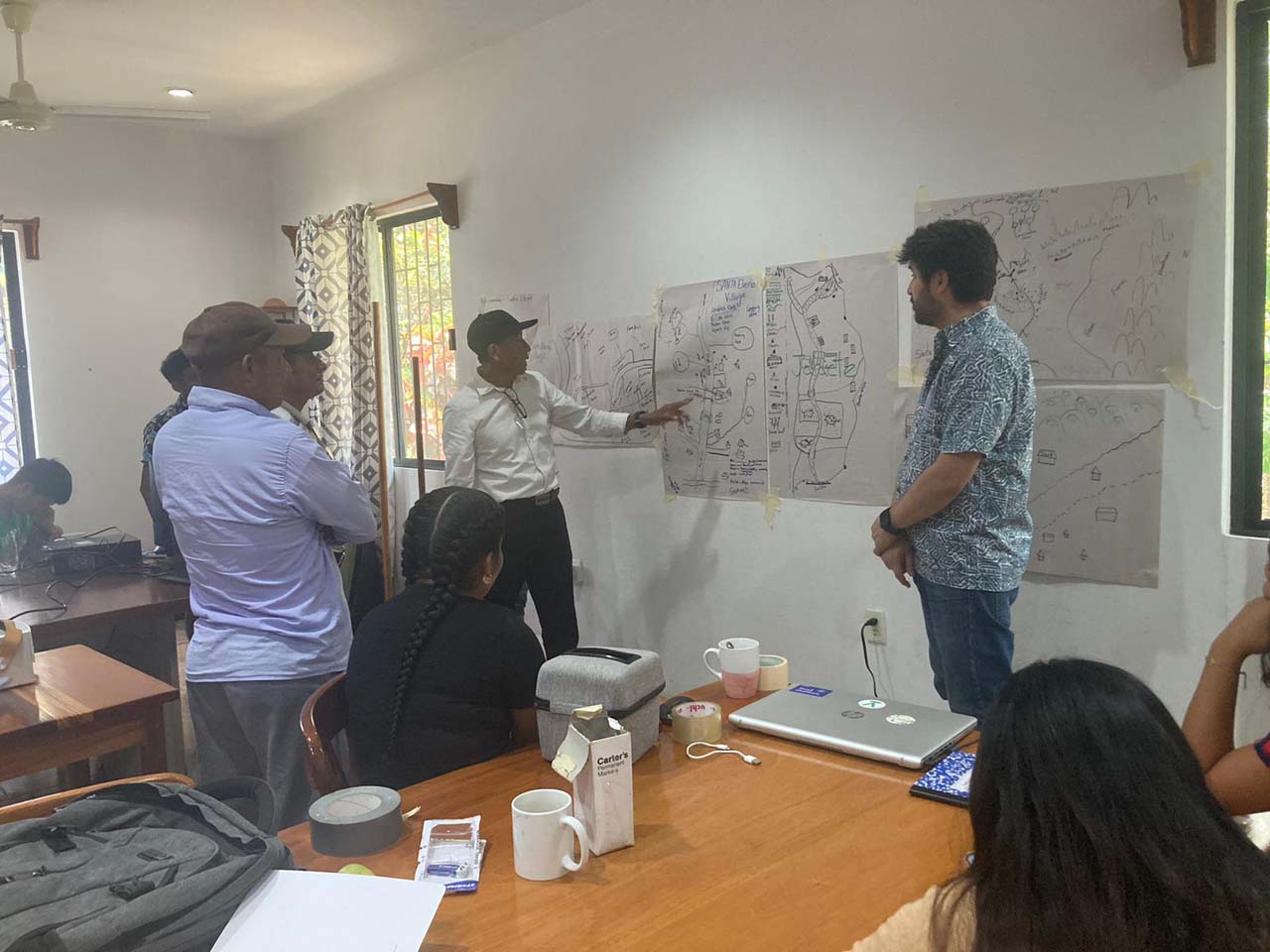
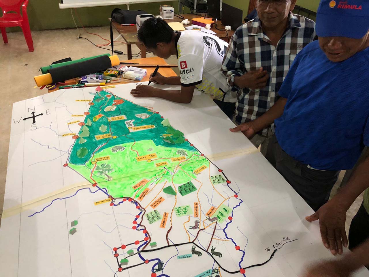
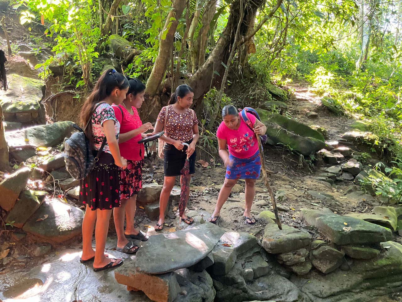
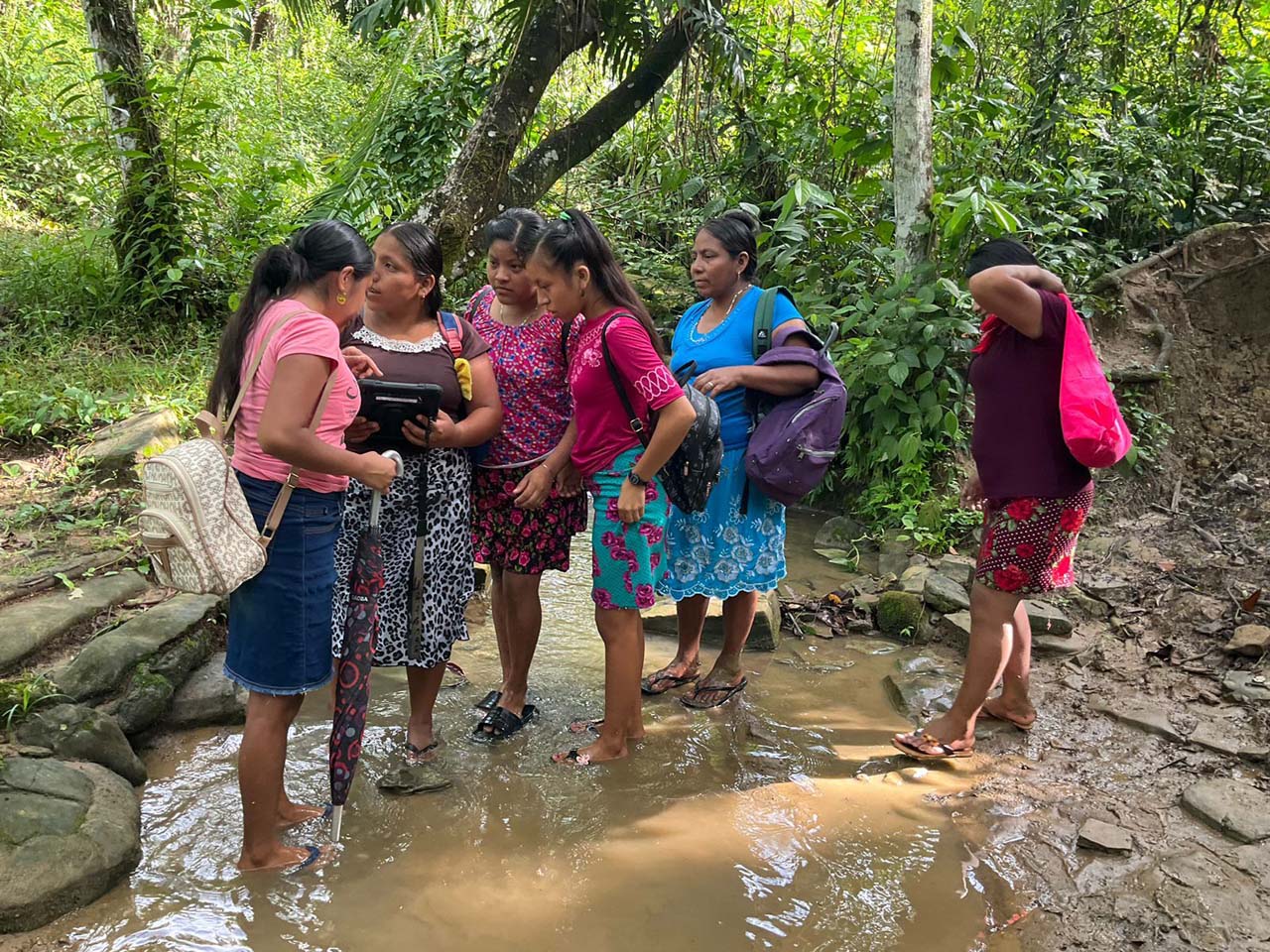
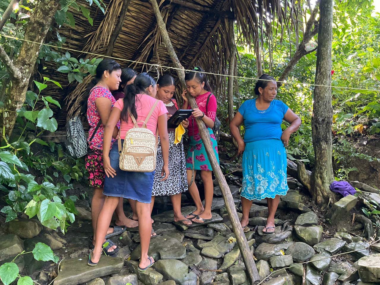
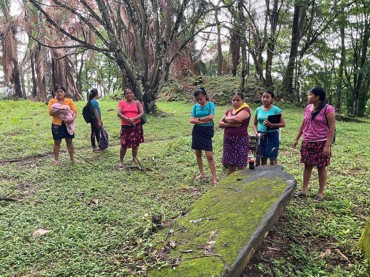
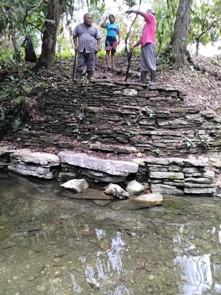
Community members used digital tools to record agriculture, sacred sites, water sources, and natural resource use. Half of the 150+ trained mappers were women, and youth returned to train peers, ensuring intergenerational knowledge transfer and local ownership of data.
The resulting maps are now being used to support formal land claims, strengthen reforestation and conservation, and guide local governance. Communities have presented their work to both the Caribbean Court of Justice and Belizean authorities—helping secure recognition of Maya stewardship.