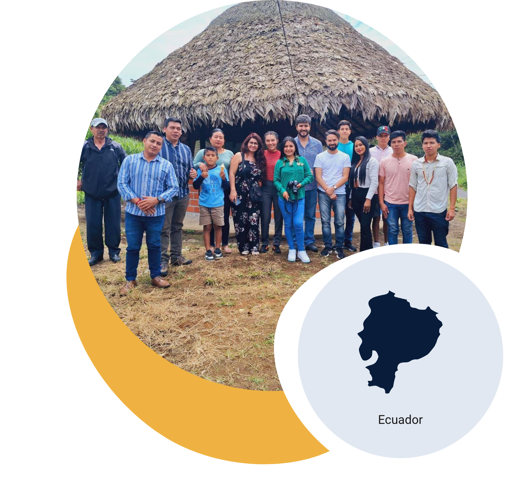
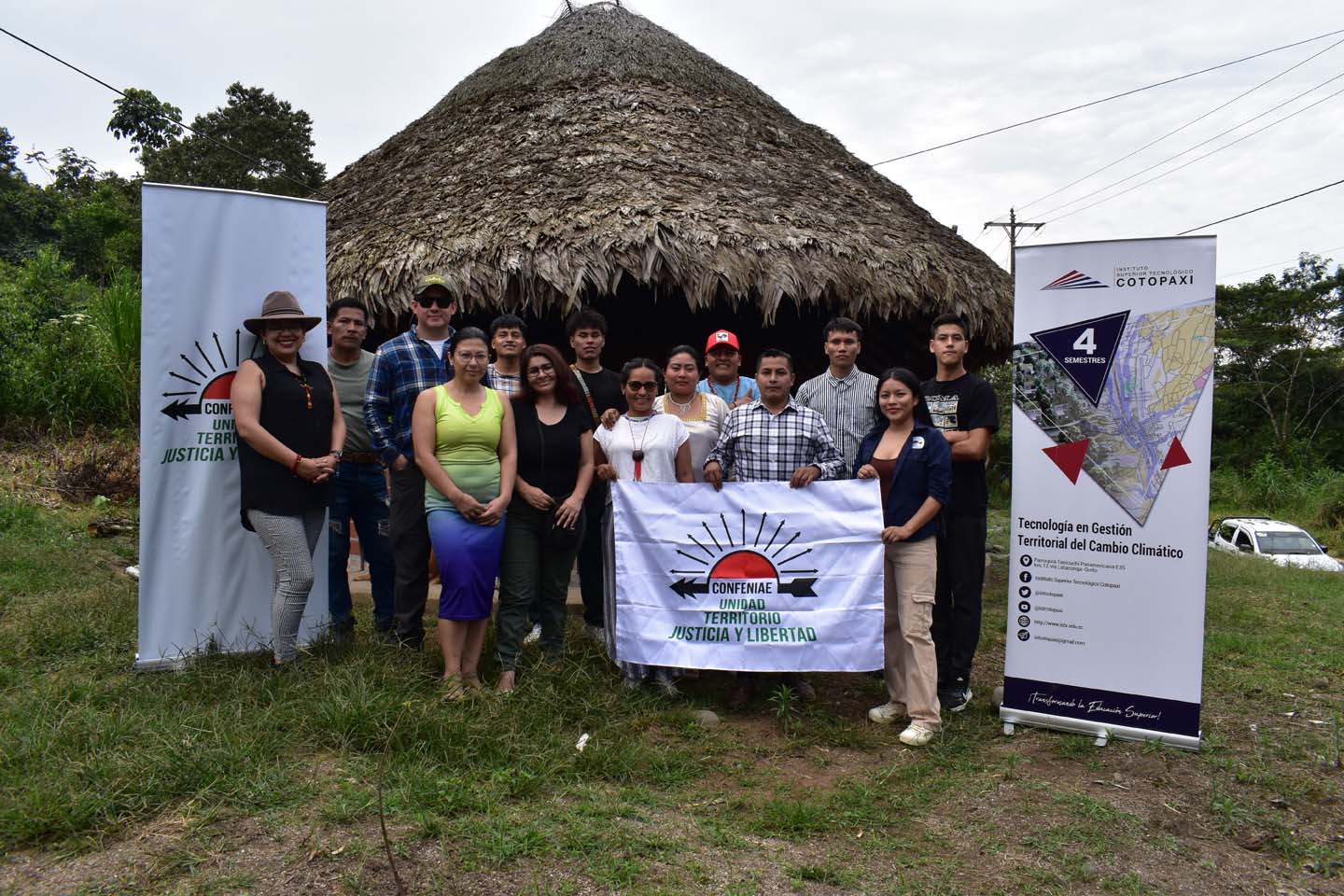
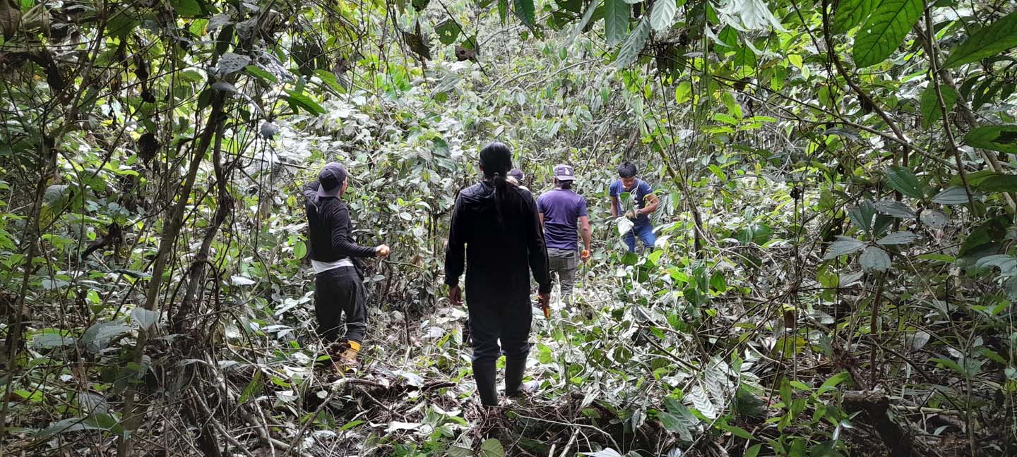
CONFENIAE and Cadasta strengthened territorial governance in Ecuador by mapping 7,500+ hectares, resolving boundary conflicts, and training 149 Indigenous monitors.
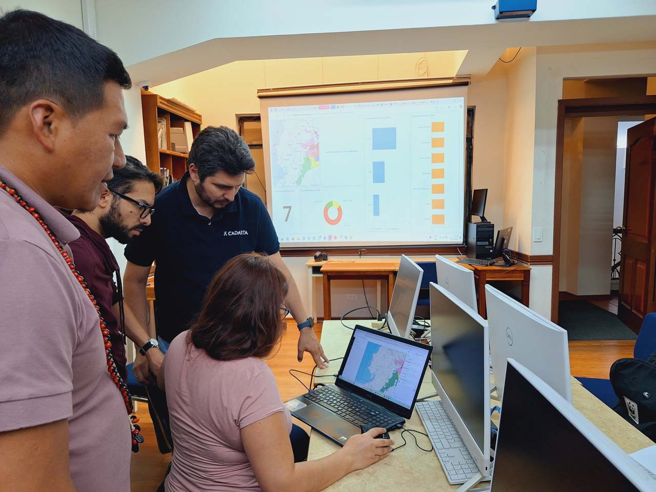
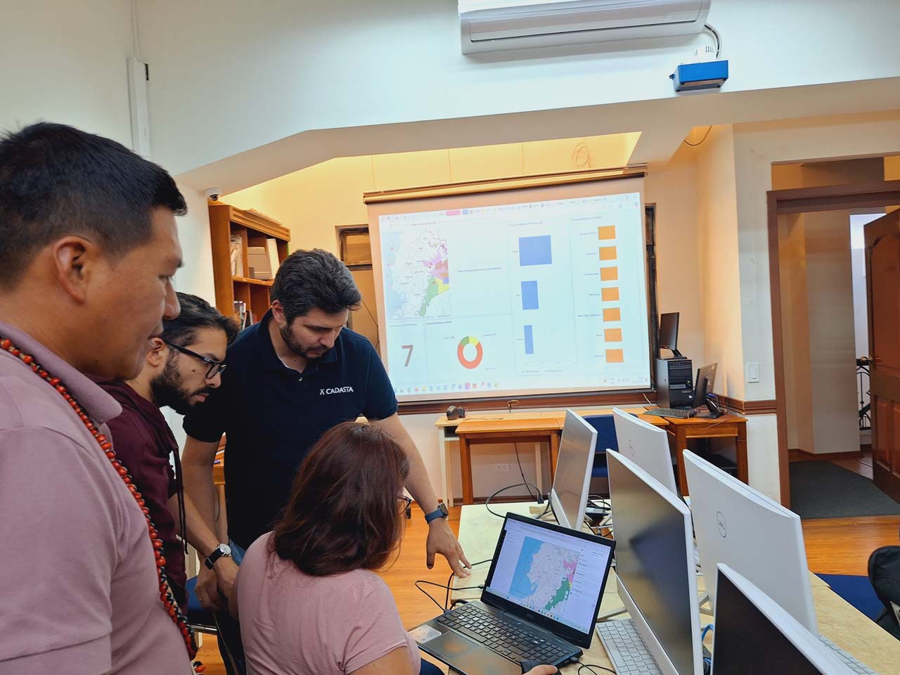
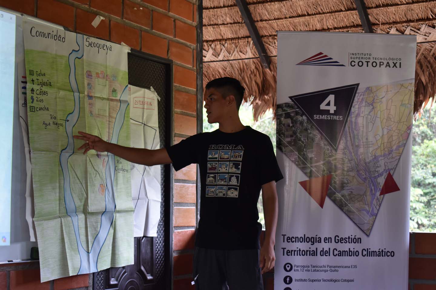
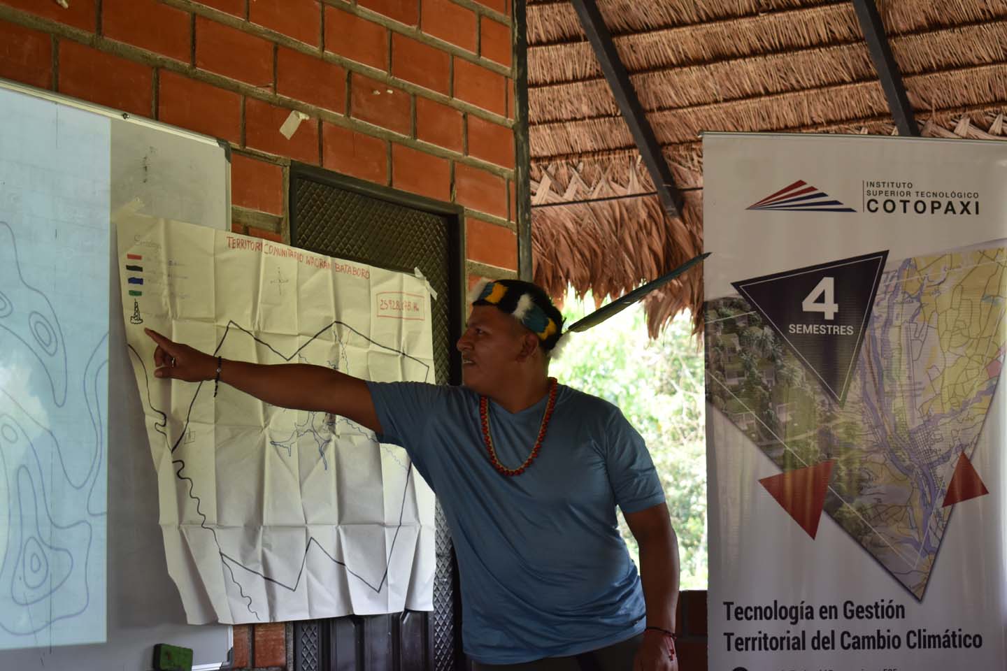
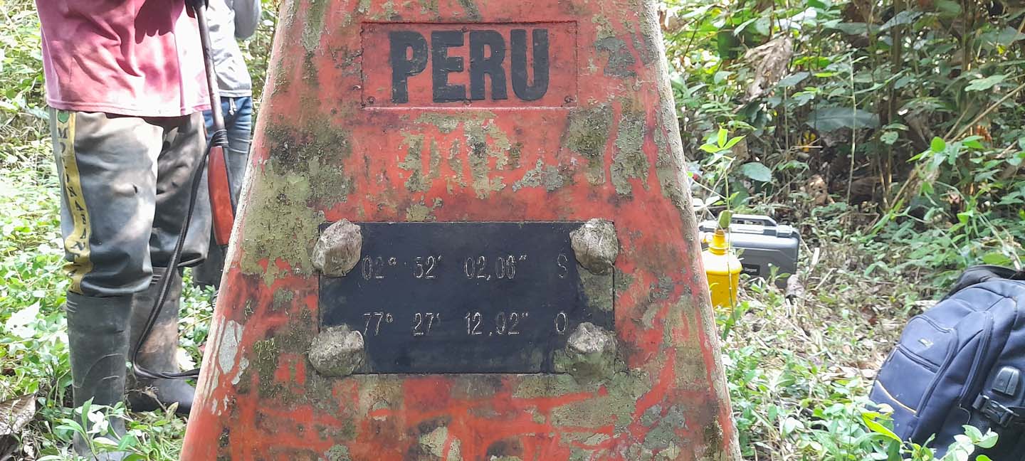
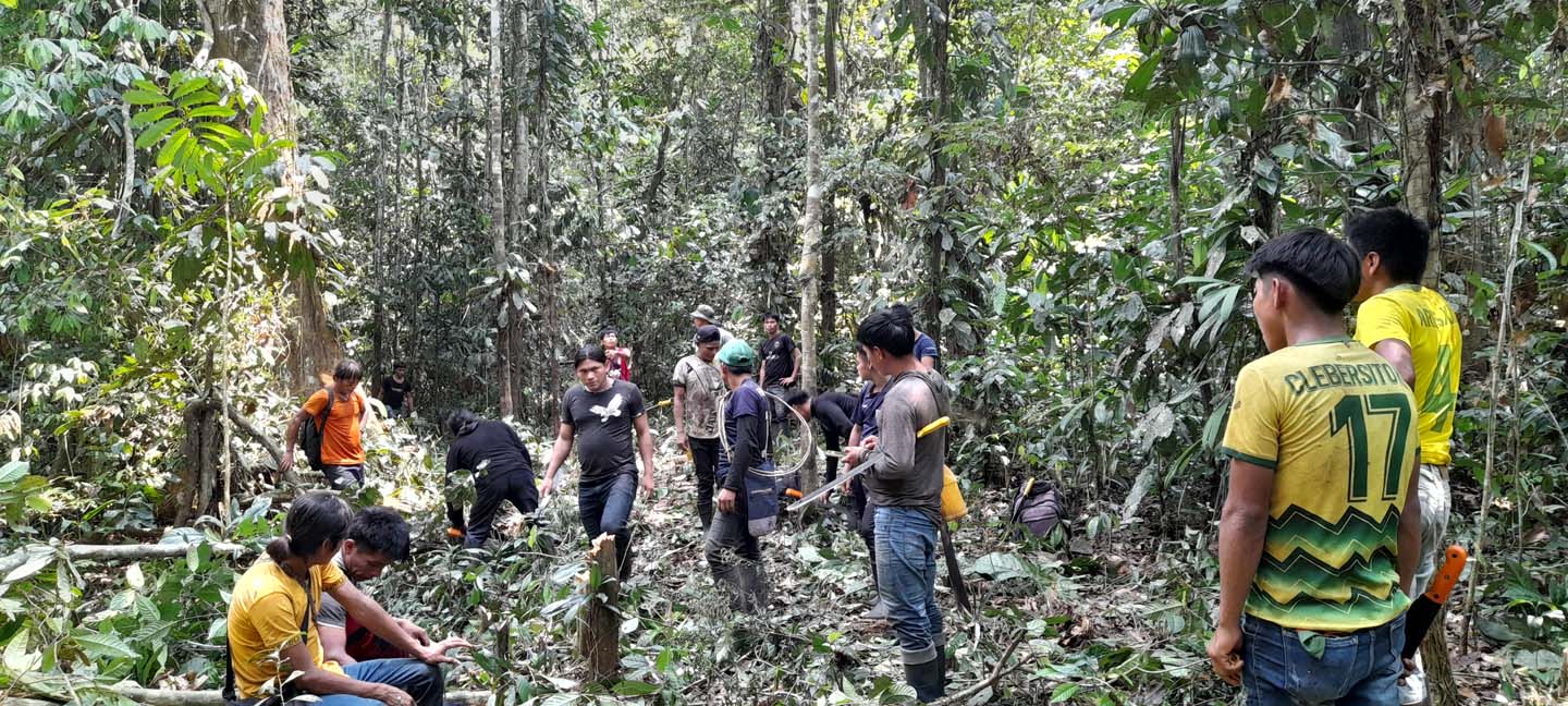
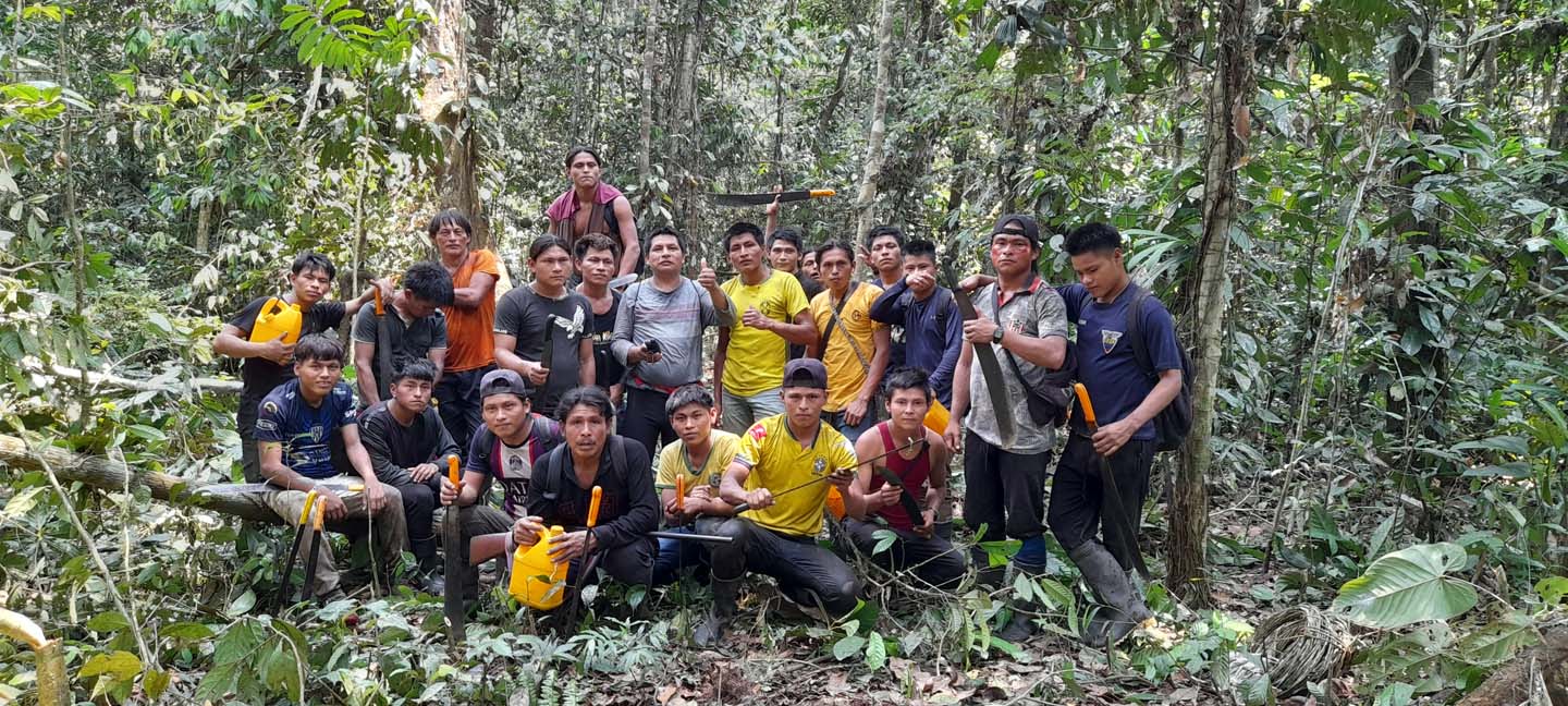
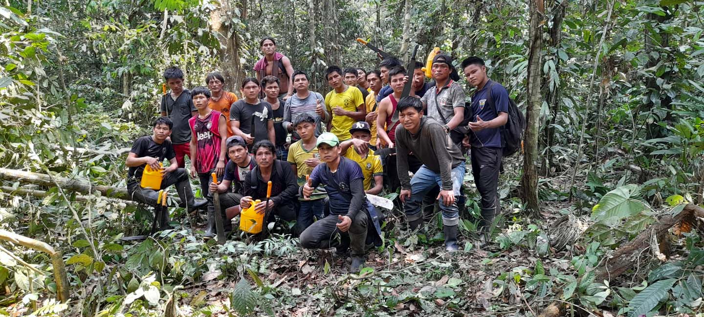
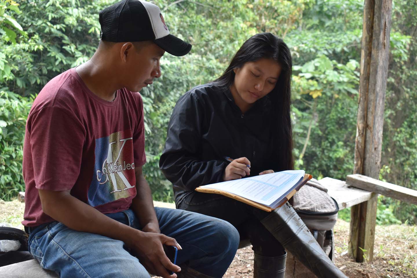
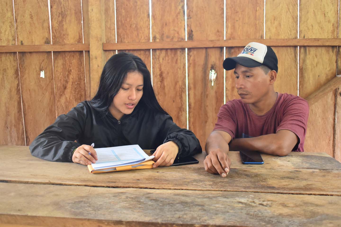
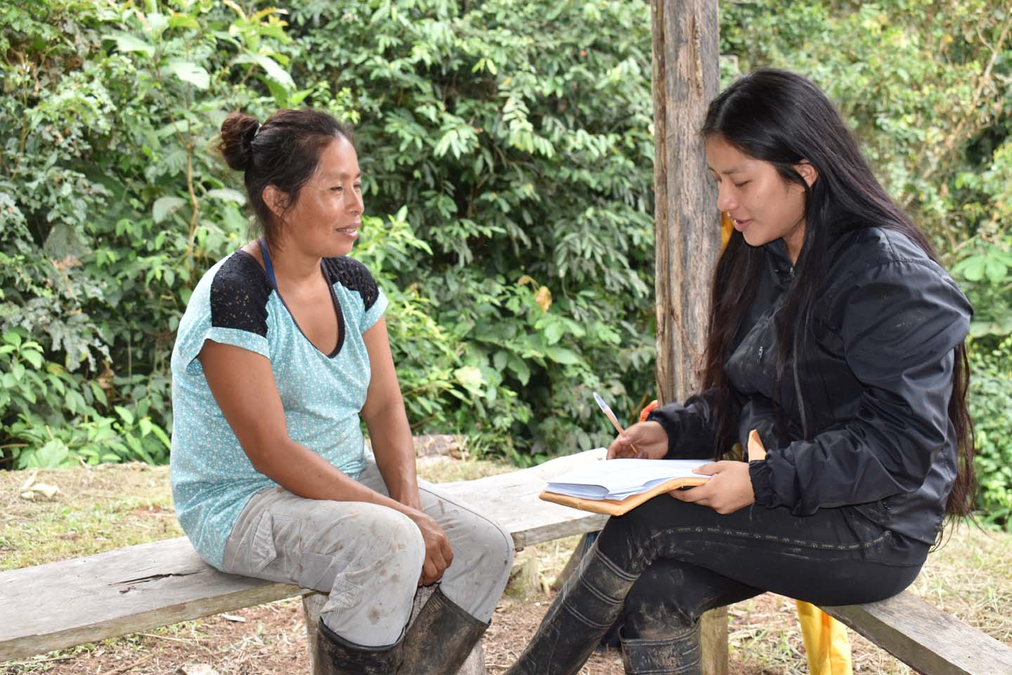
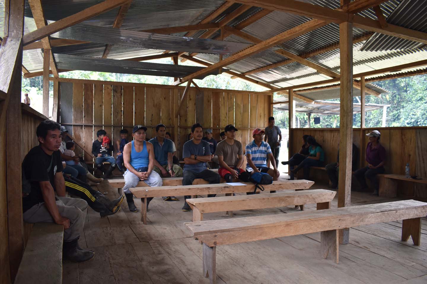
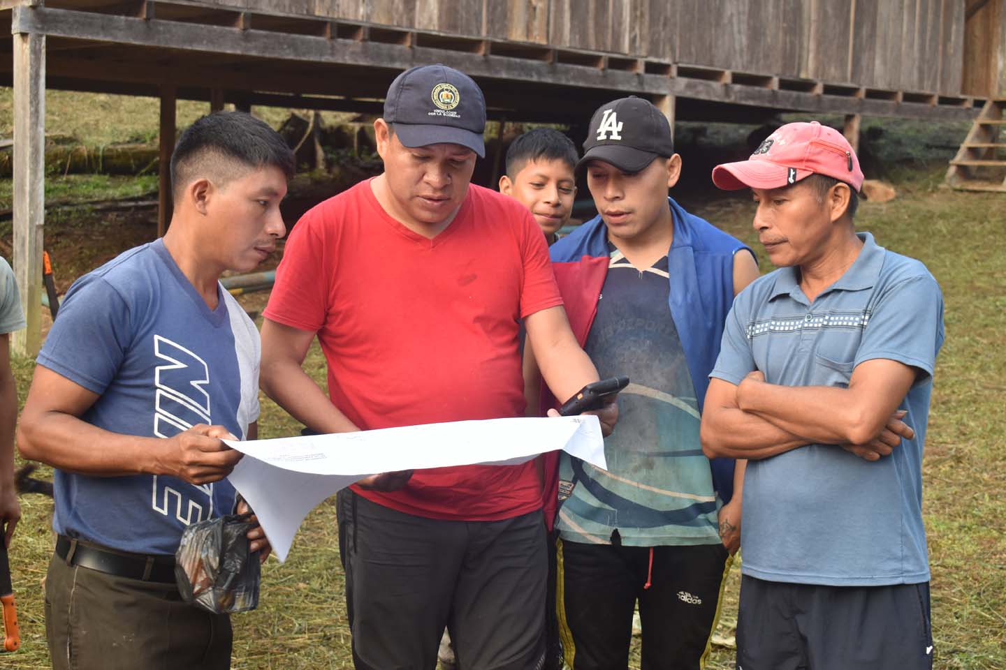
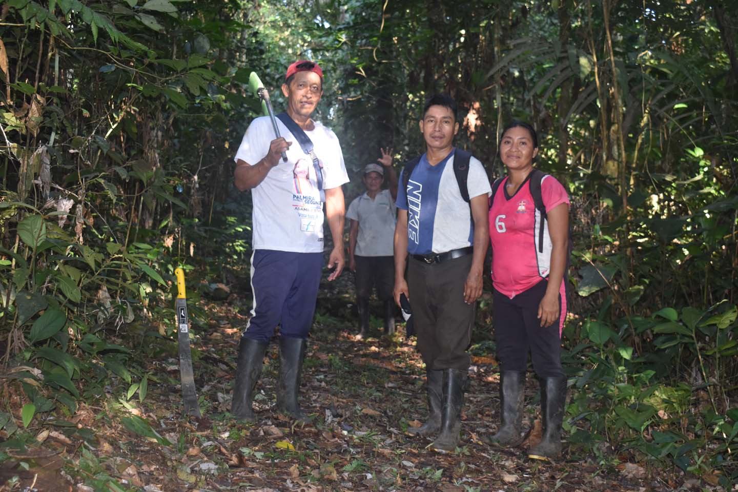
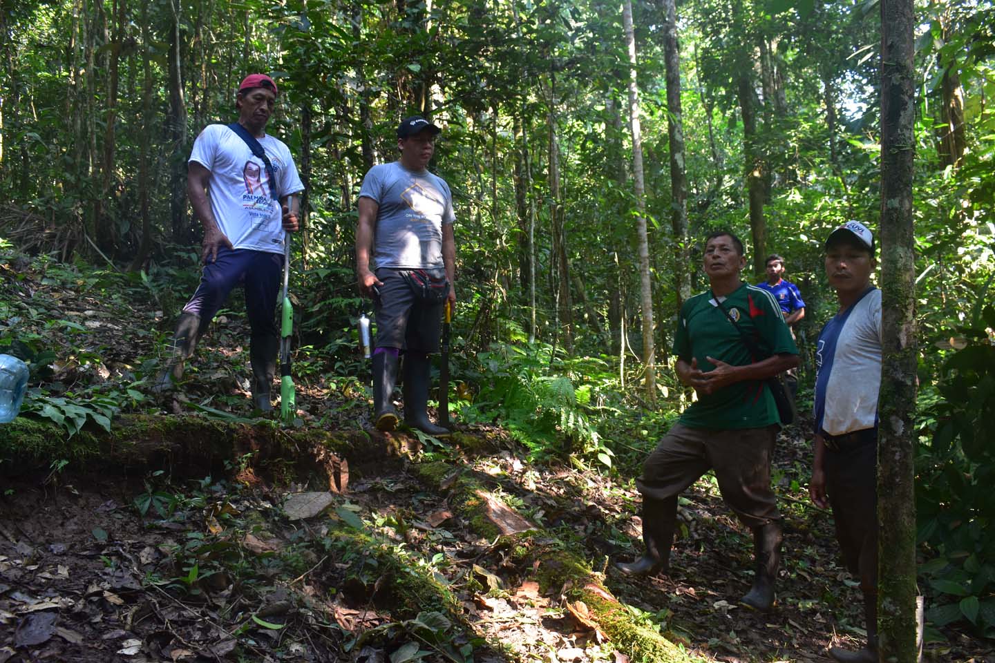
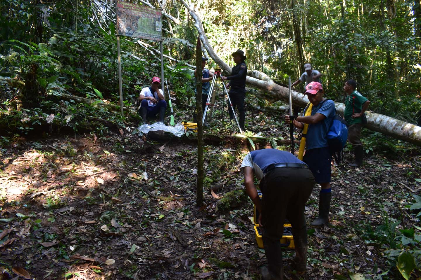
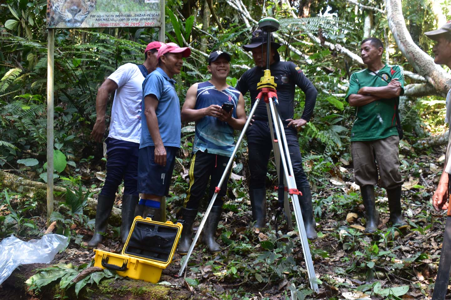
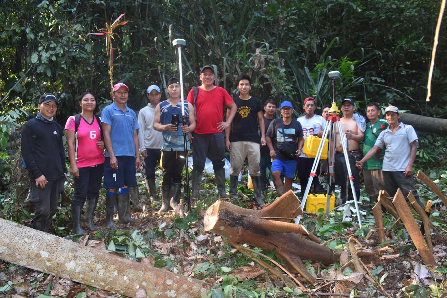
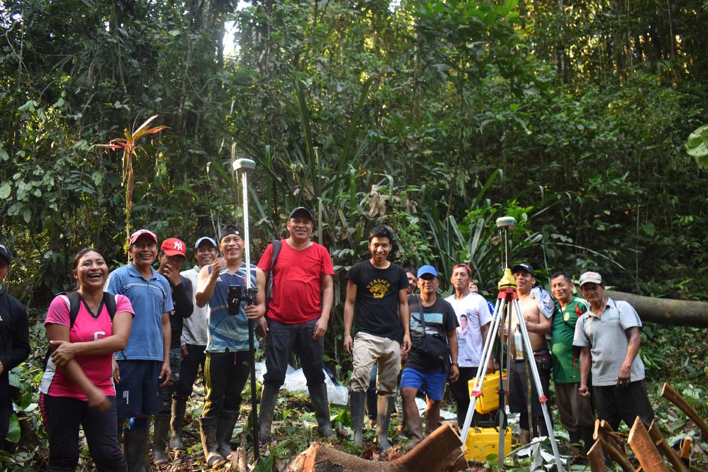
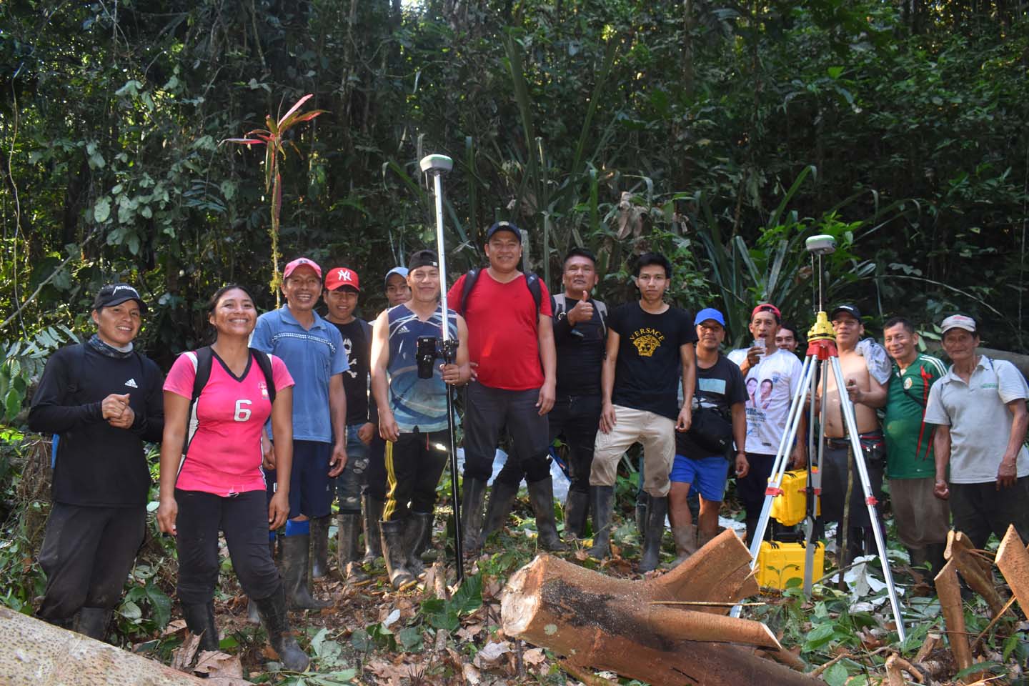
In the Ecuadorian Amazon, CONFENIAE partnered with Cadasta to clarify territorial boundaries, resolve land conflicts, and strengthen Indigenous governance systems. Together, they mapped 7,500 hectares in Saapap Entsa, clarified deeds over 1,248 hectares, and resolved 49 km of disputed boundaries in Waorani territory—unlocking titling pathways for over 100,000 hectares.
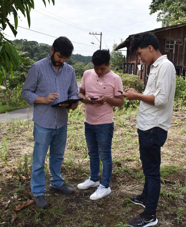
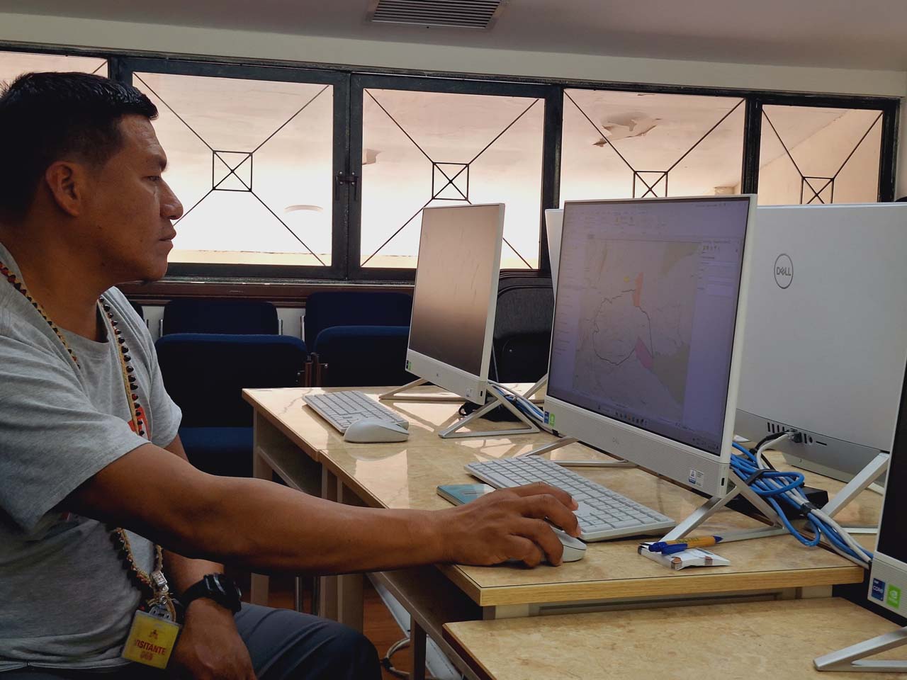
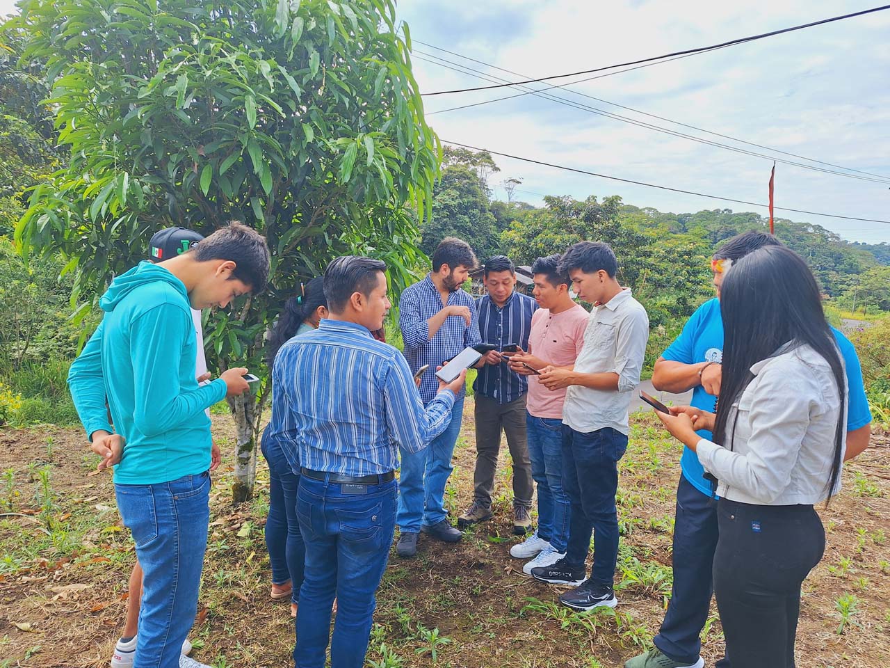
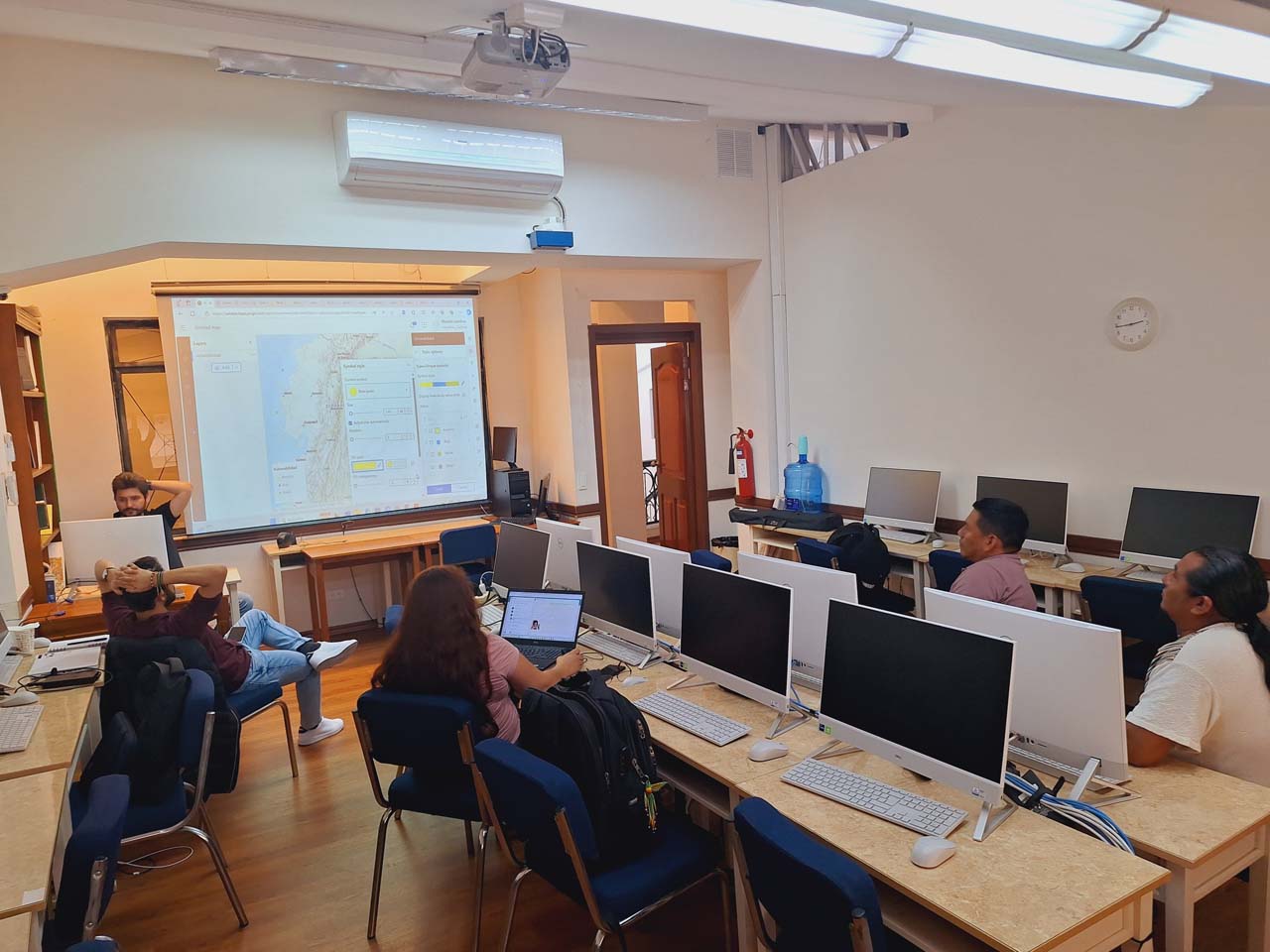
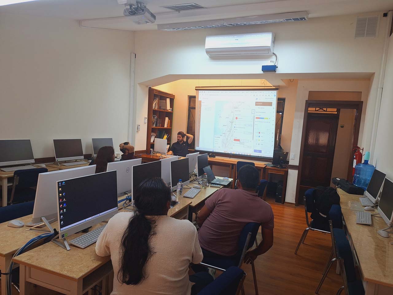
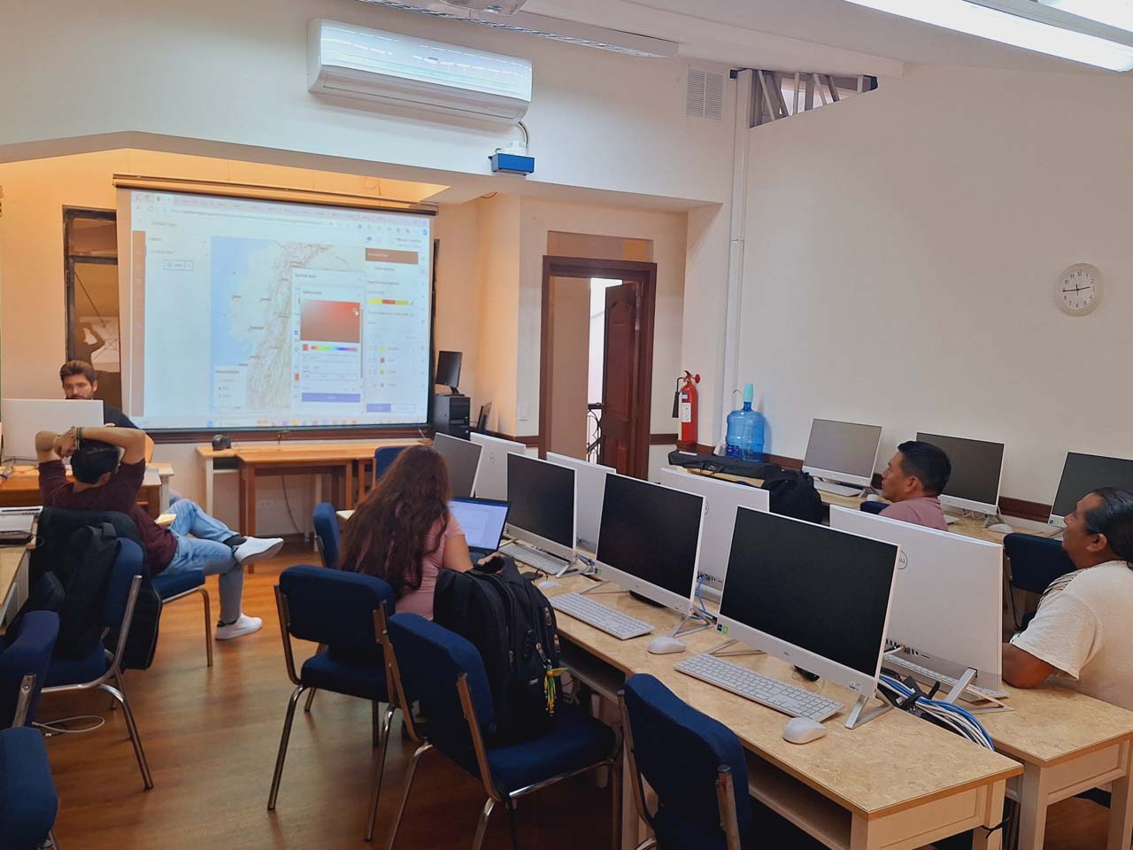
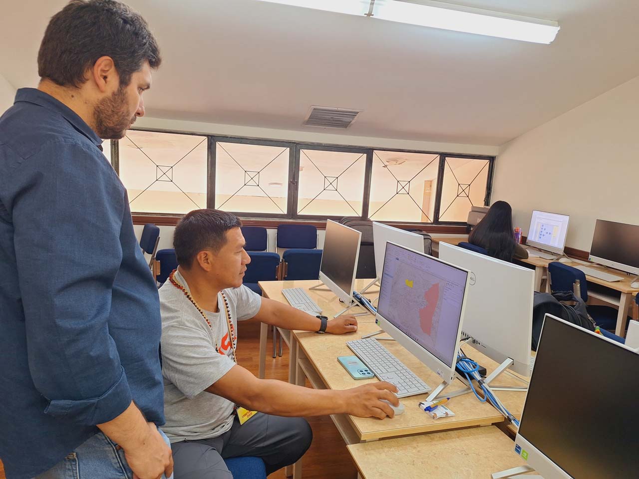
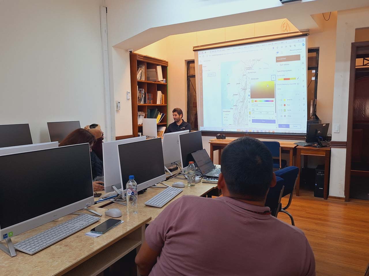
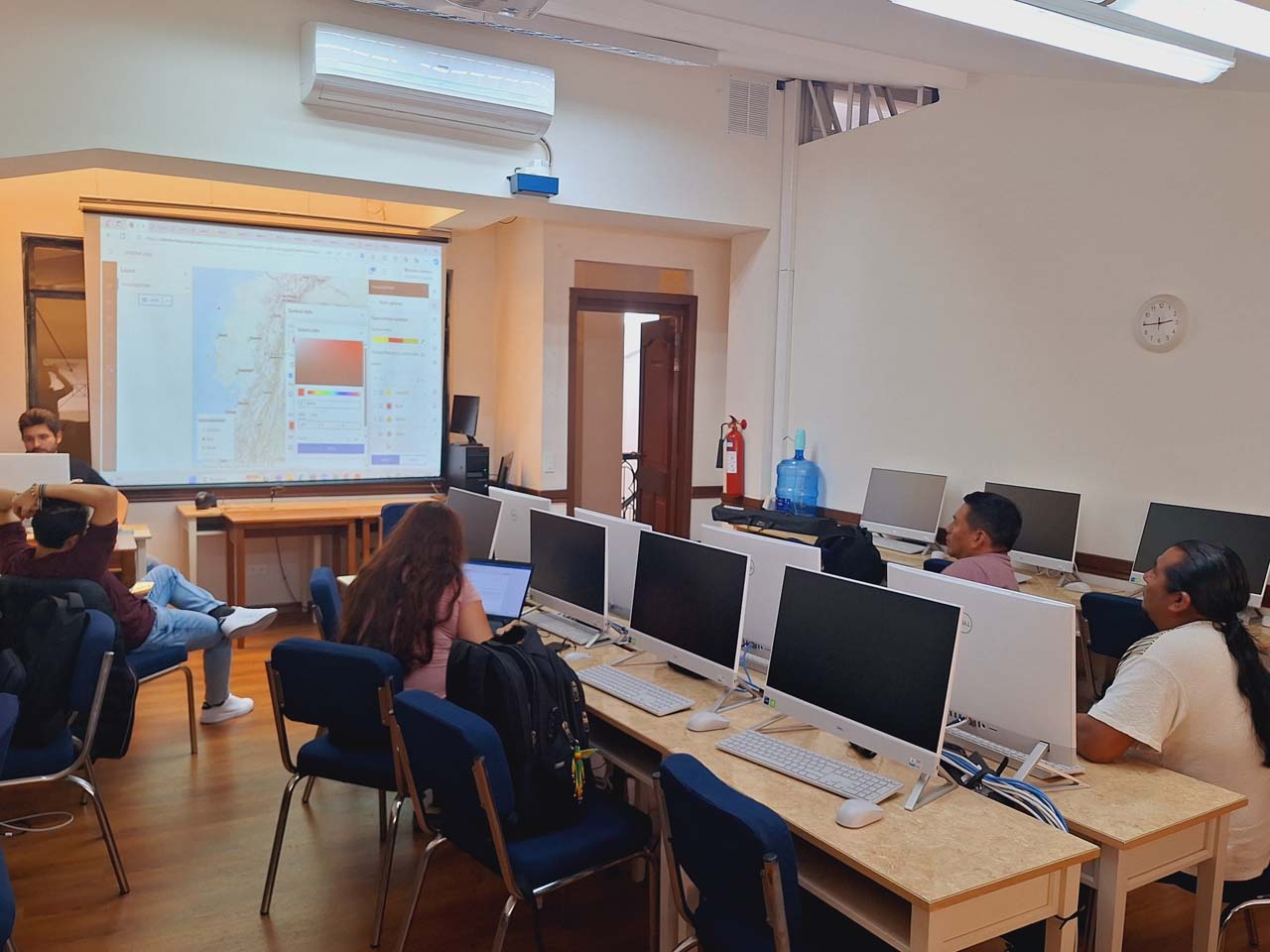
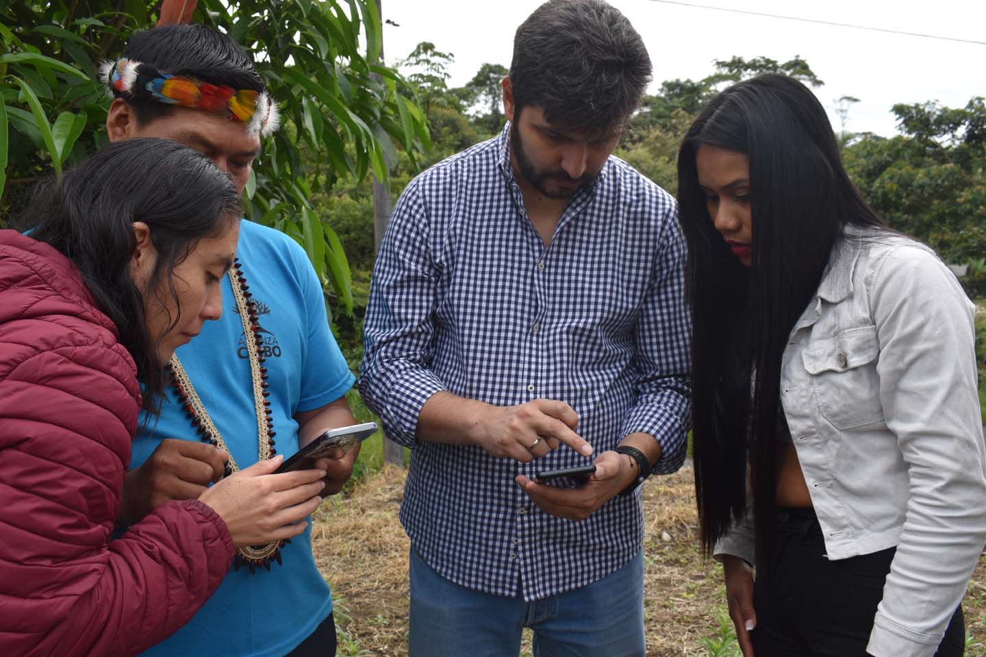
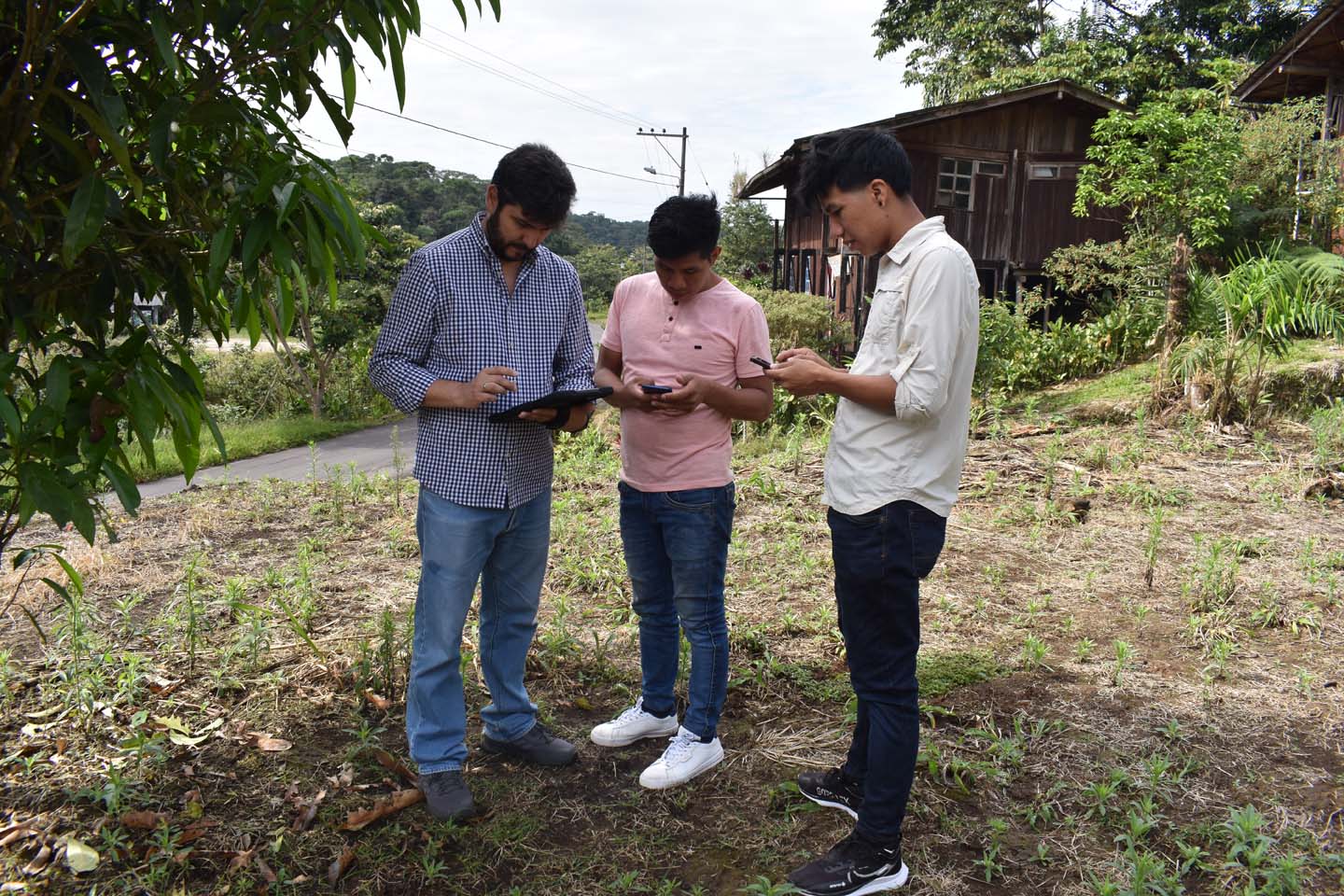
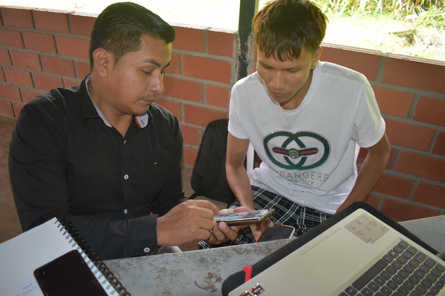
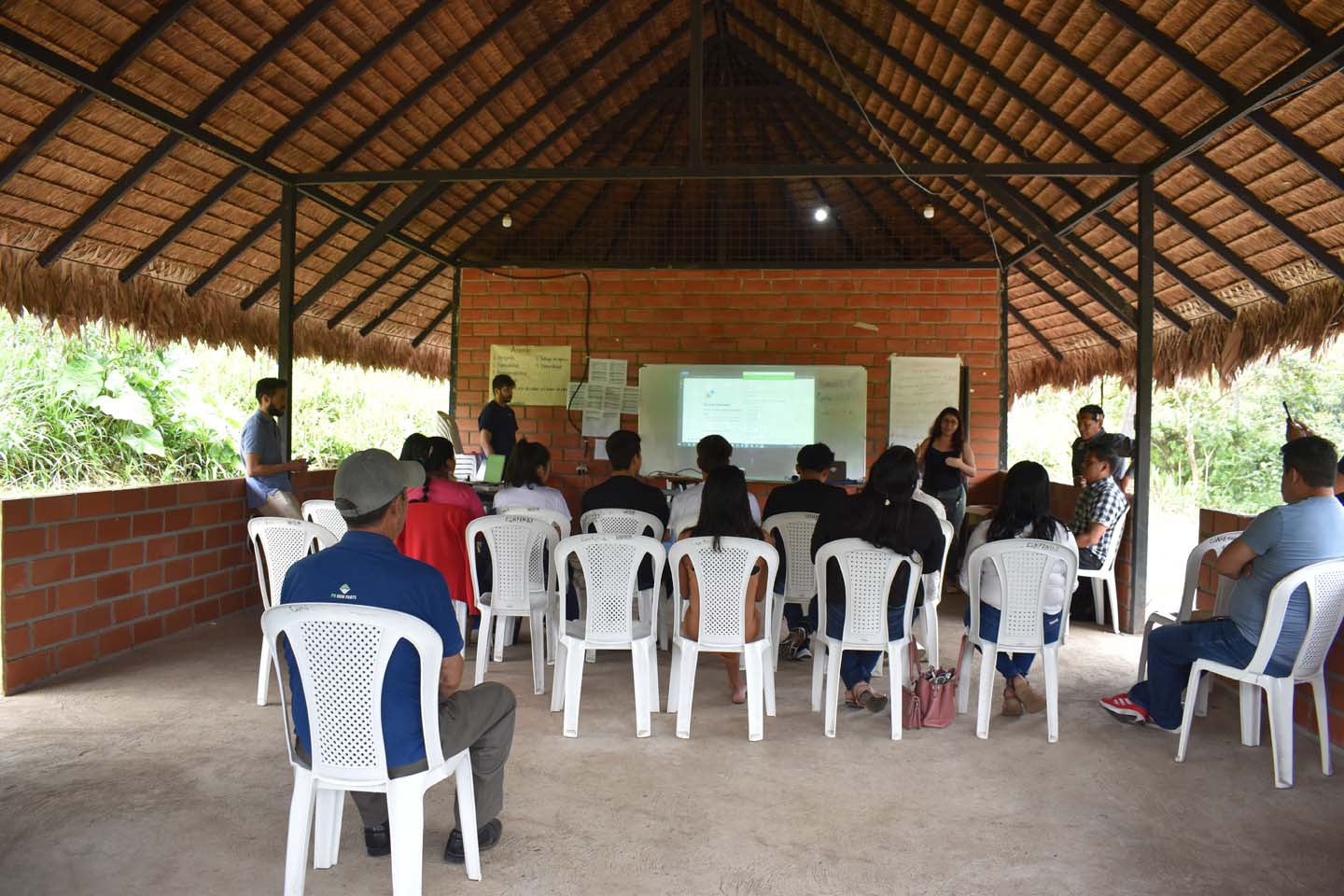
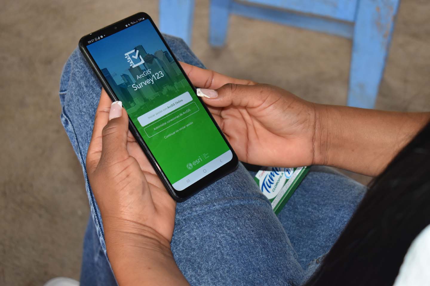
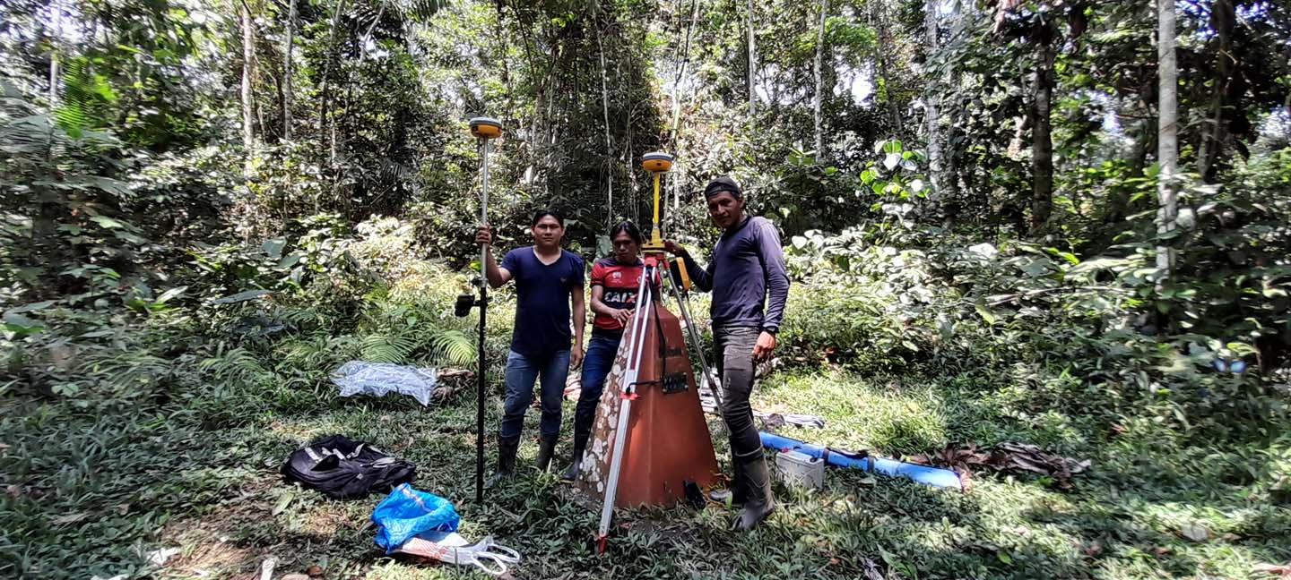
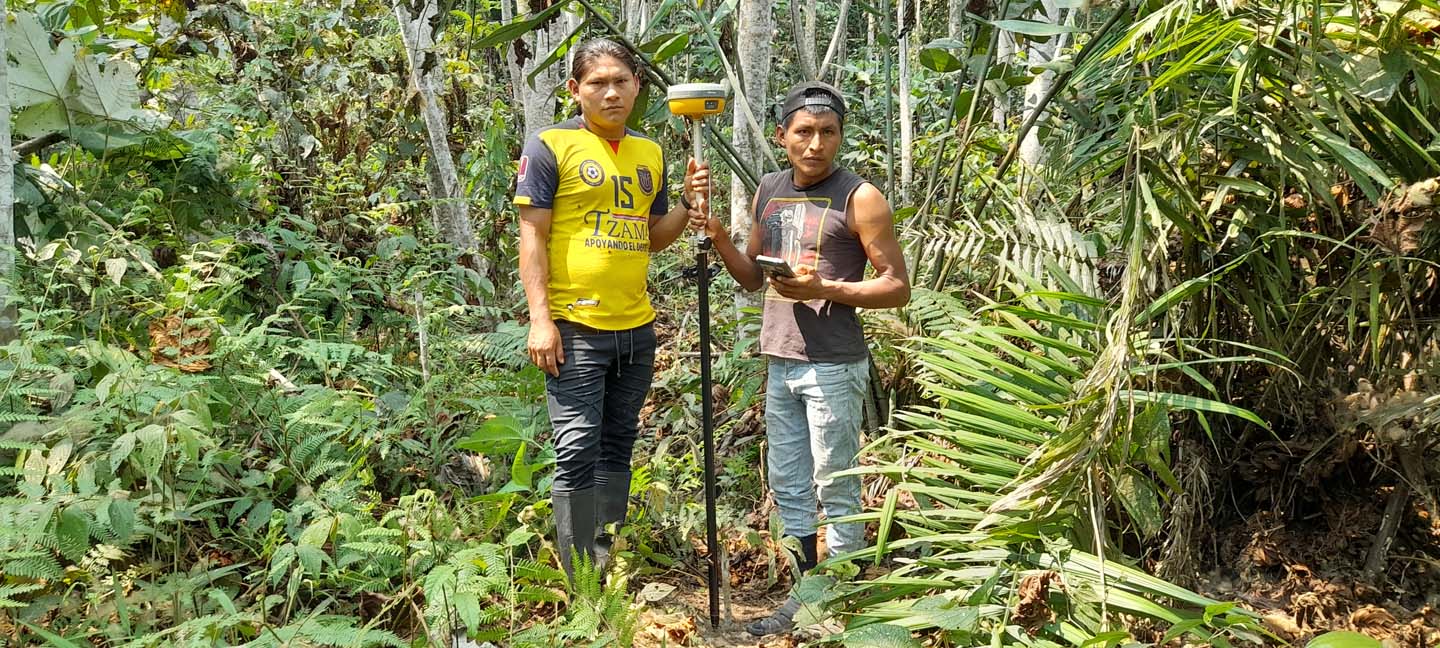
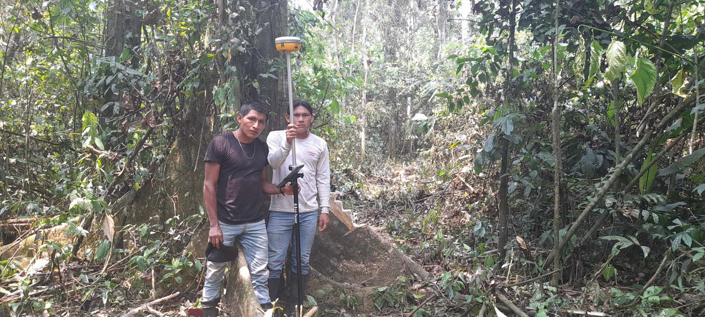
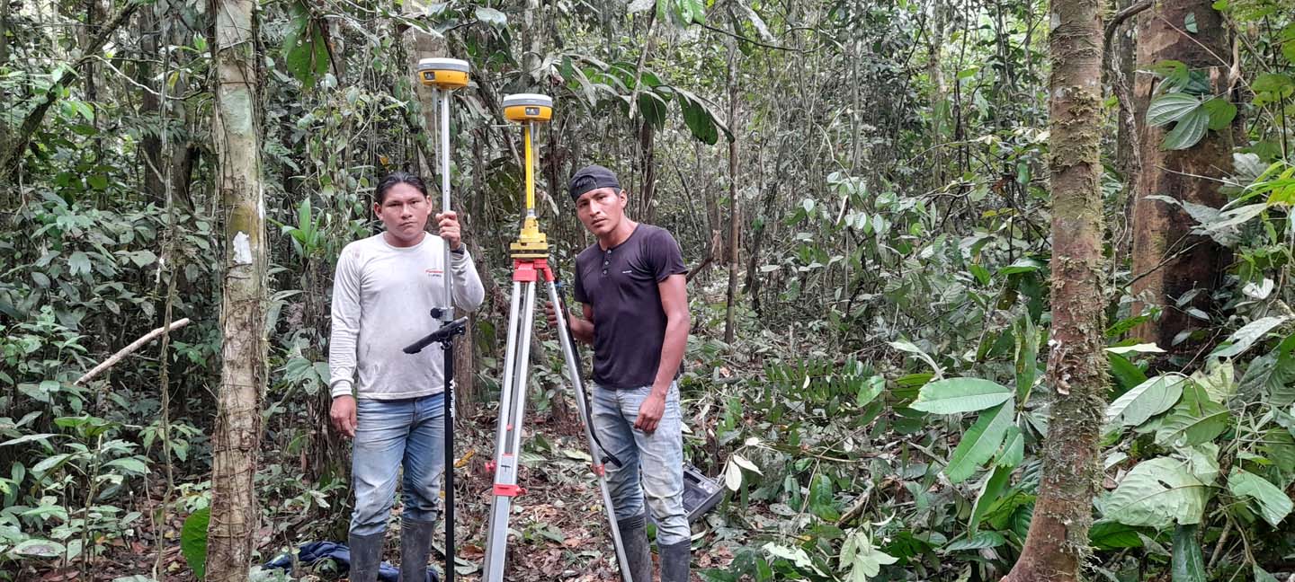
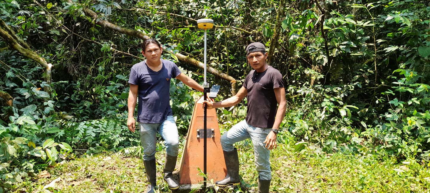
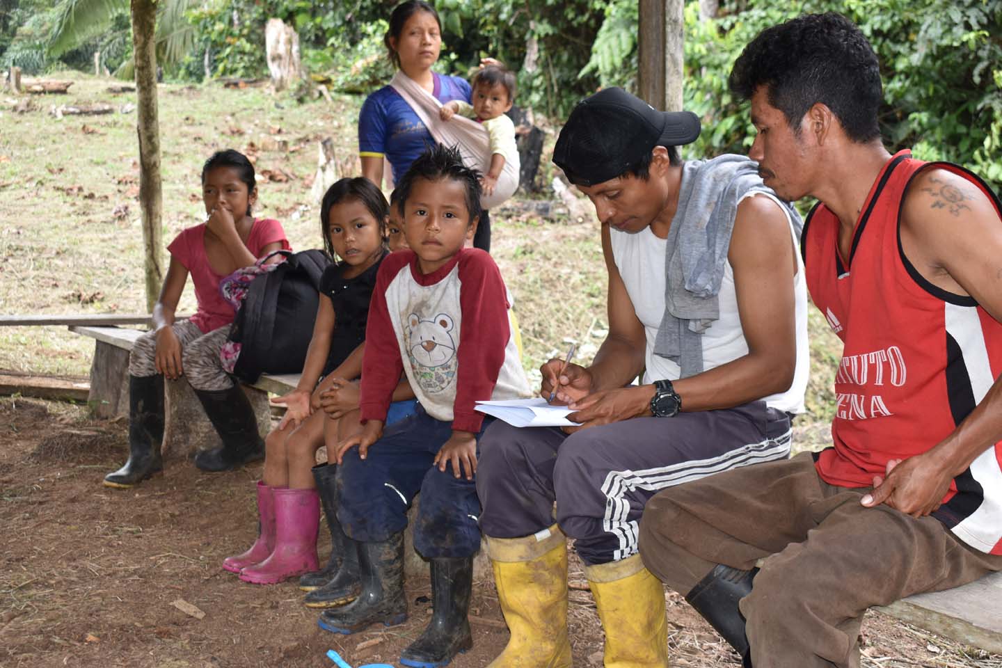
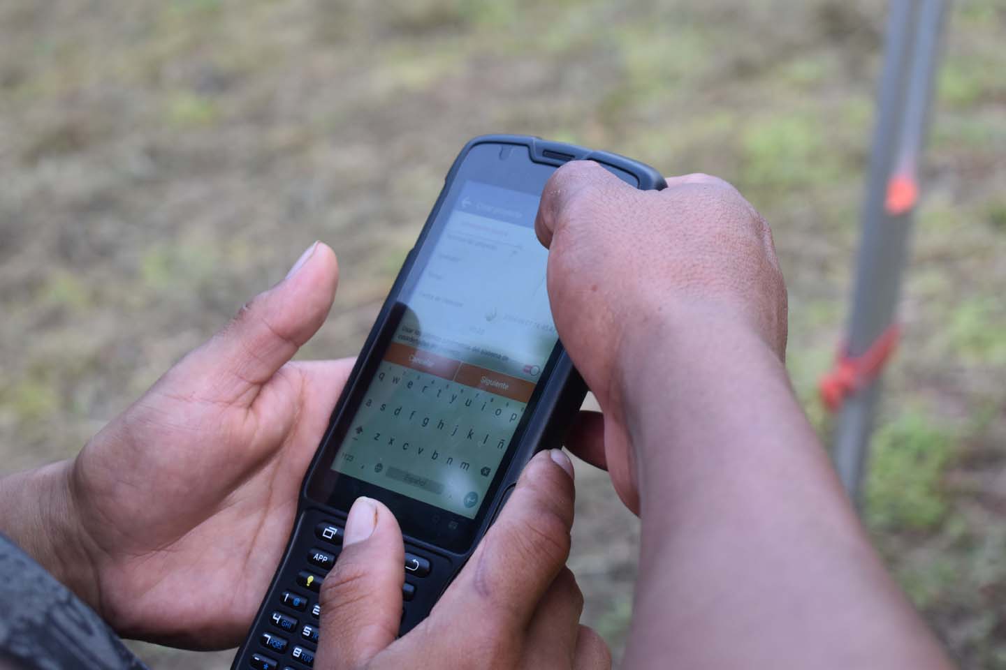
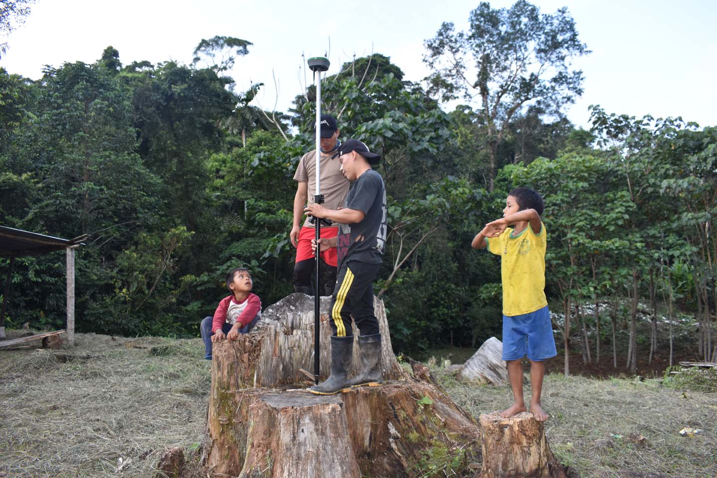
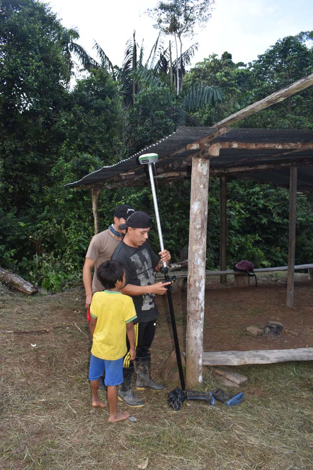
Using real-time kinematic (RTK) positioning and the SIT CONFENIAE platform, Indigenous monitors collected over 900 monitoring forms, 300 risk assessments, and 700 deforestation alerts. Cadasta provided tailored training in Survey123, ArcGIS Pro, and Field Maps, building the capacity of 149 Indigenous monitors—more than one-third of them women.
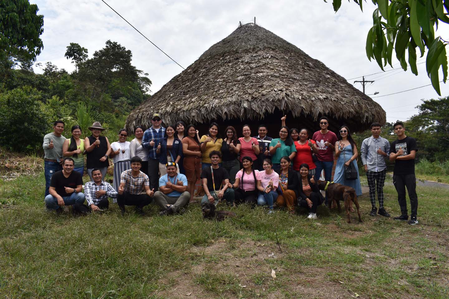
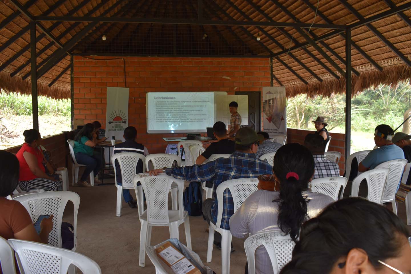
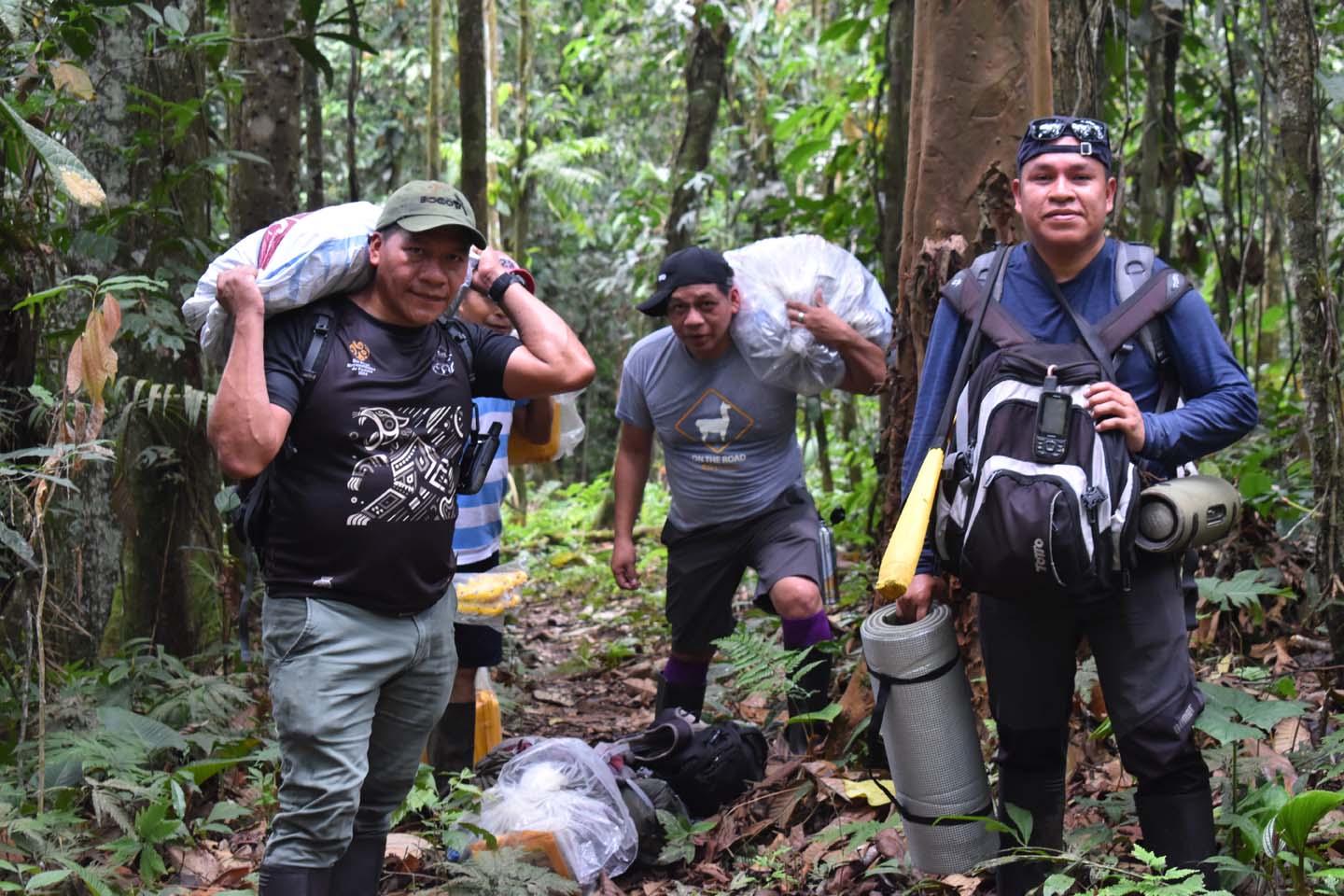
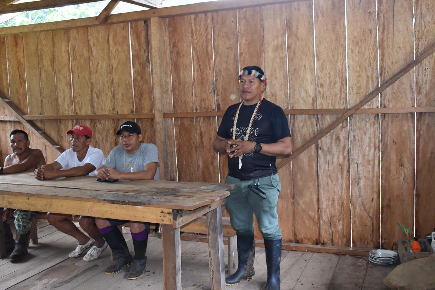
This collaboration created a scalable model for conflict resolution and land governance, demonstrating how locally-led, technology-enabled solutions can secure rights, protect forests, and strengthen community resilience across the Amazon.