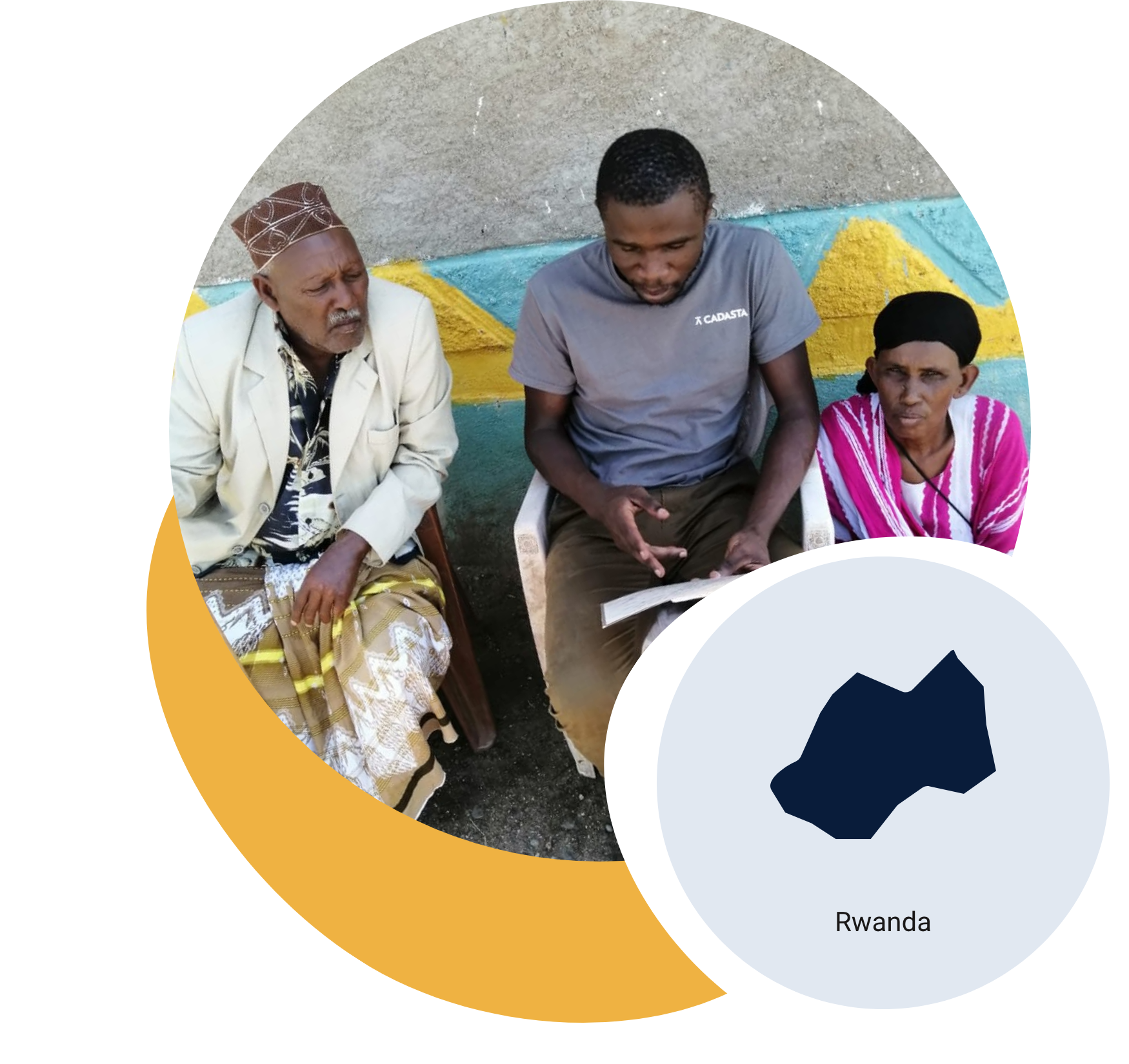
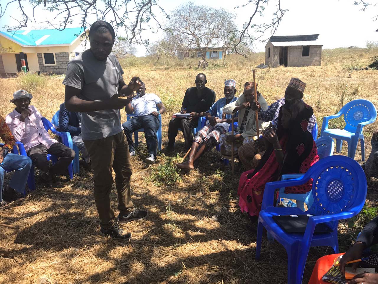
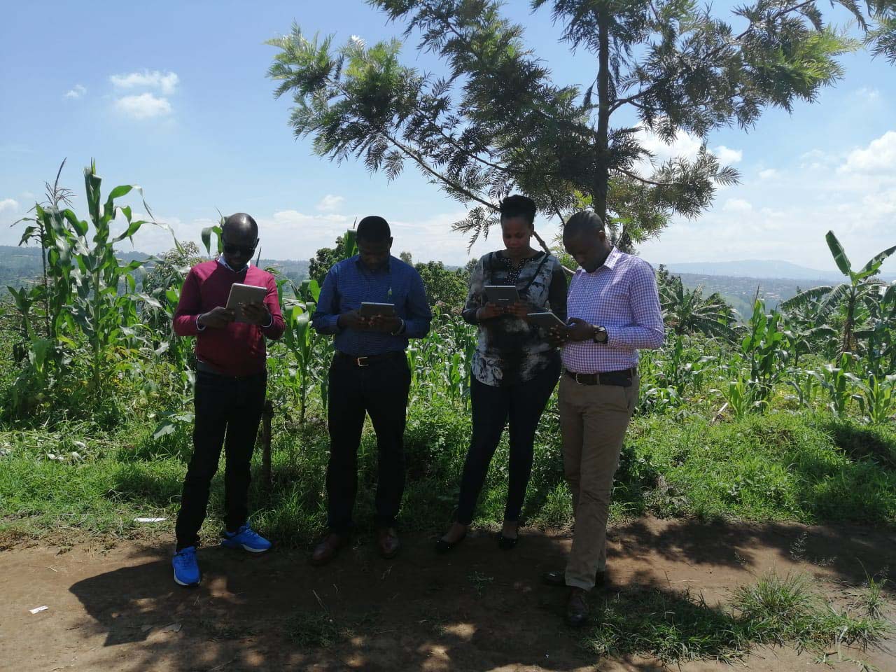
In Rwanda’s Eastern Province, Landesa and the Rwanda National Land Authority (NLA) are working to strengthen land security for smallholder farmers through the Agricultural Systems Change Initiative, funded by Co-Impact.
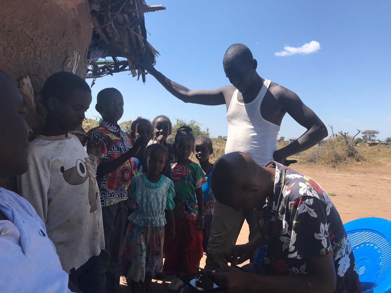
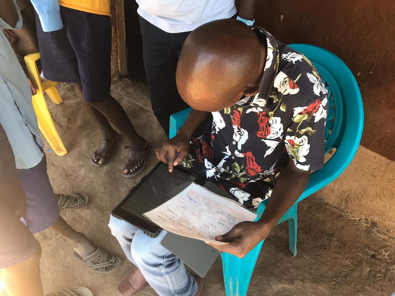
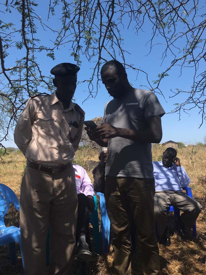
The initiative builds on Rwanda’s Land Tenure Regularization program by correcting parcel boundary data and updating missing ownership records. With Cadasta’s geospatial tools and training, young graduates are conducting high-precision, real-time data collection using GNSS tablets and Esri technology.
By 2026, the program will correct 43,400 parcels and update 32,553 ownership records, issuing secure e-titles to farmers. Early results in Kirehe District include nearly 20,000 e-titles issued and over 23,000 households benefiting through first-time registrations and boundary corrections. These improvements expand access to agricultural credit, inputs, and legal protections, advancing both livelihoods and land governance in Rwanda.