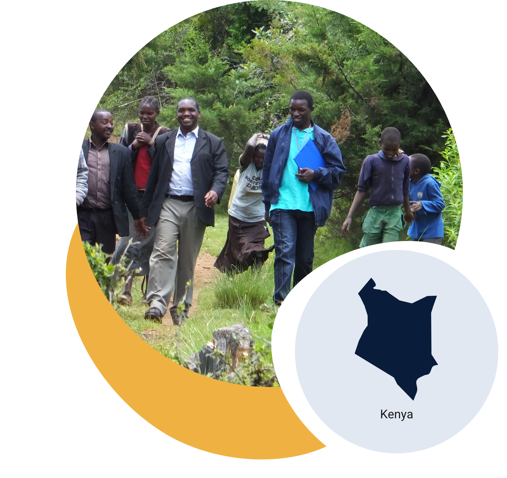
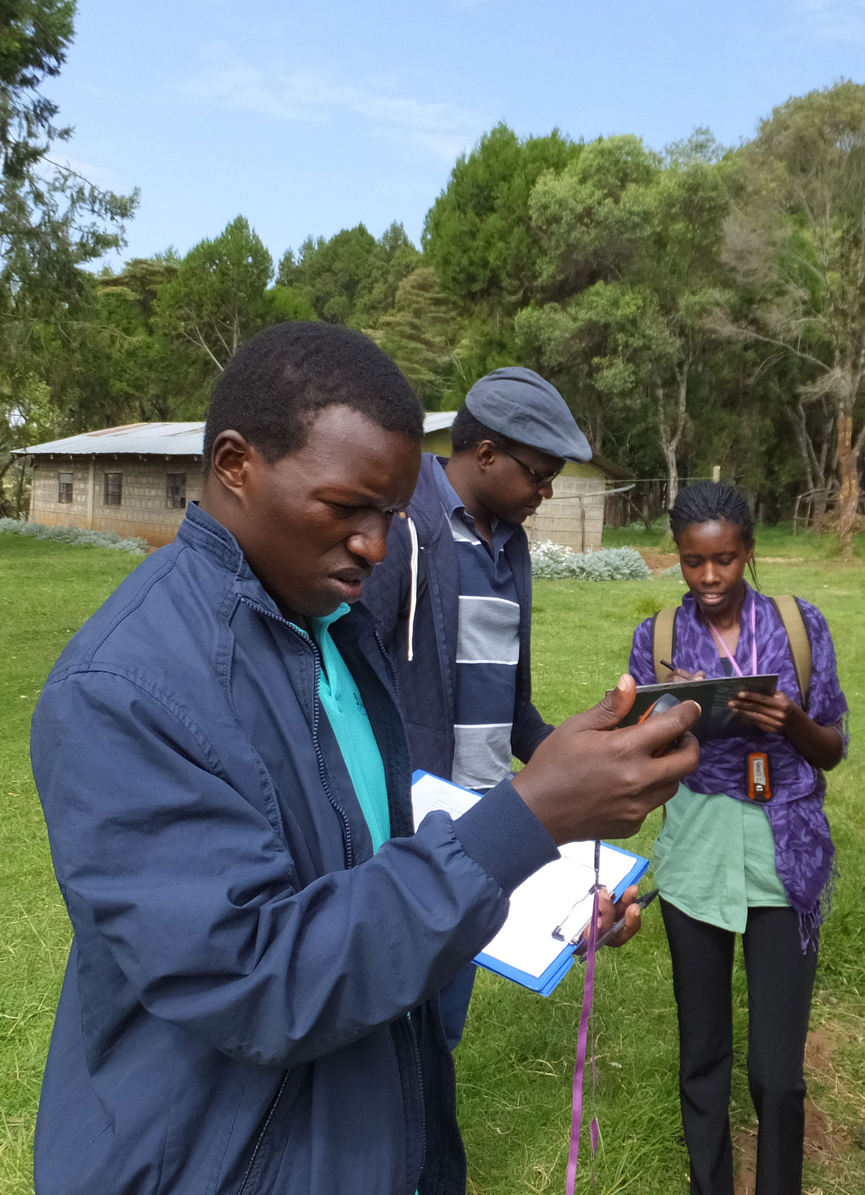
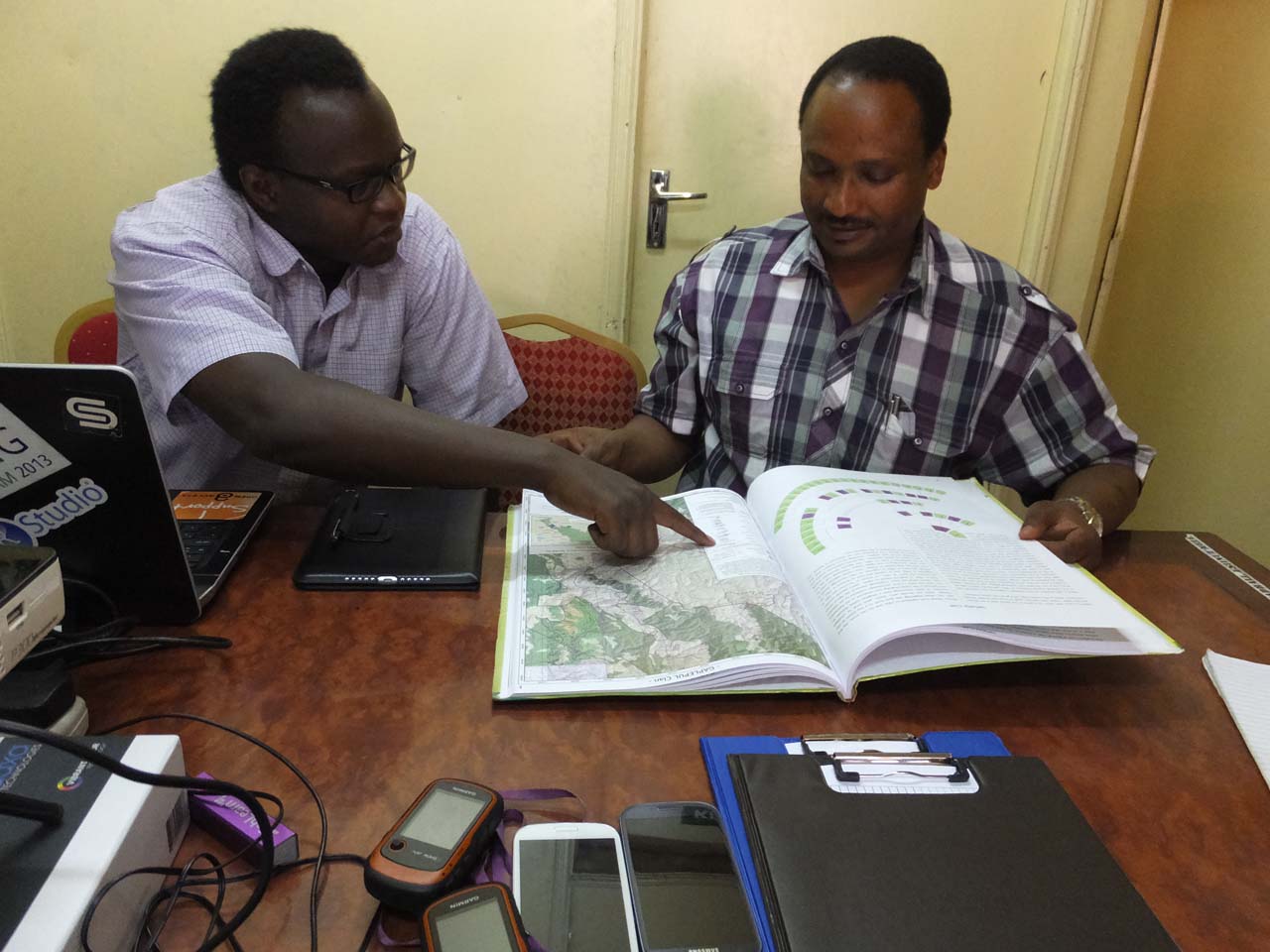
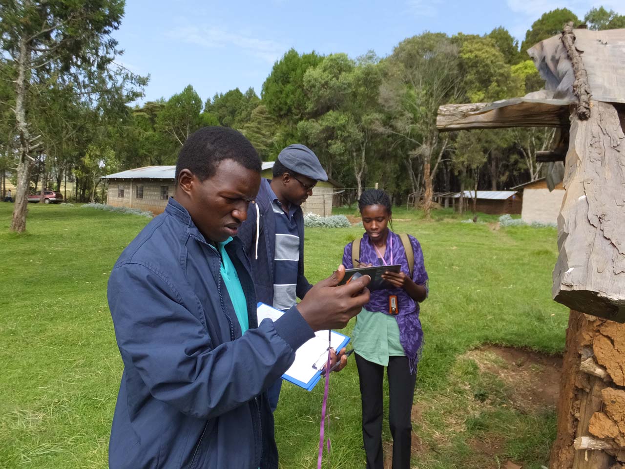
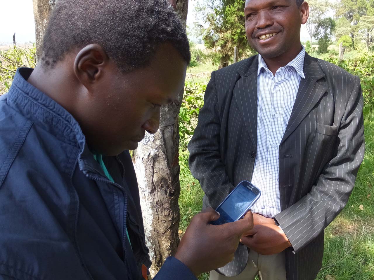
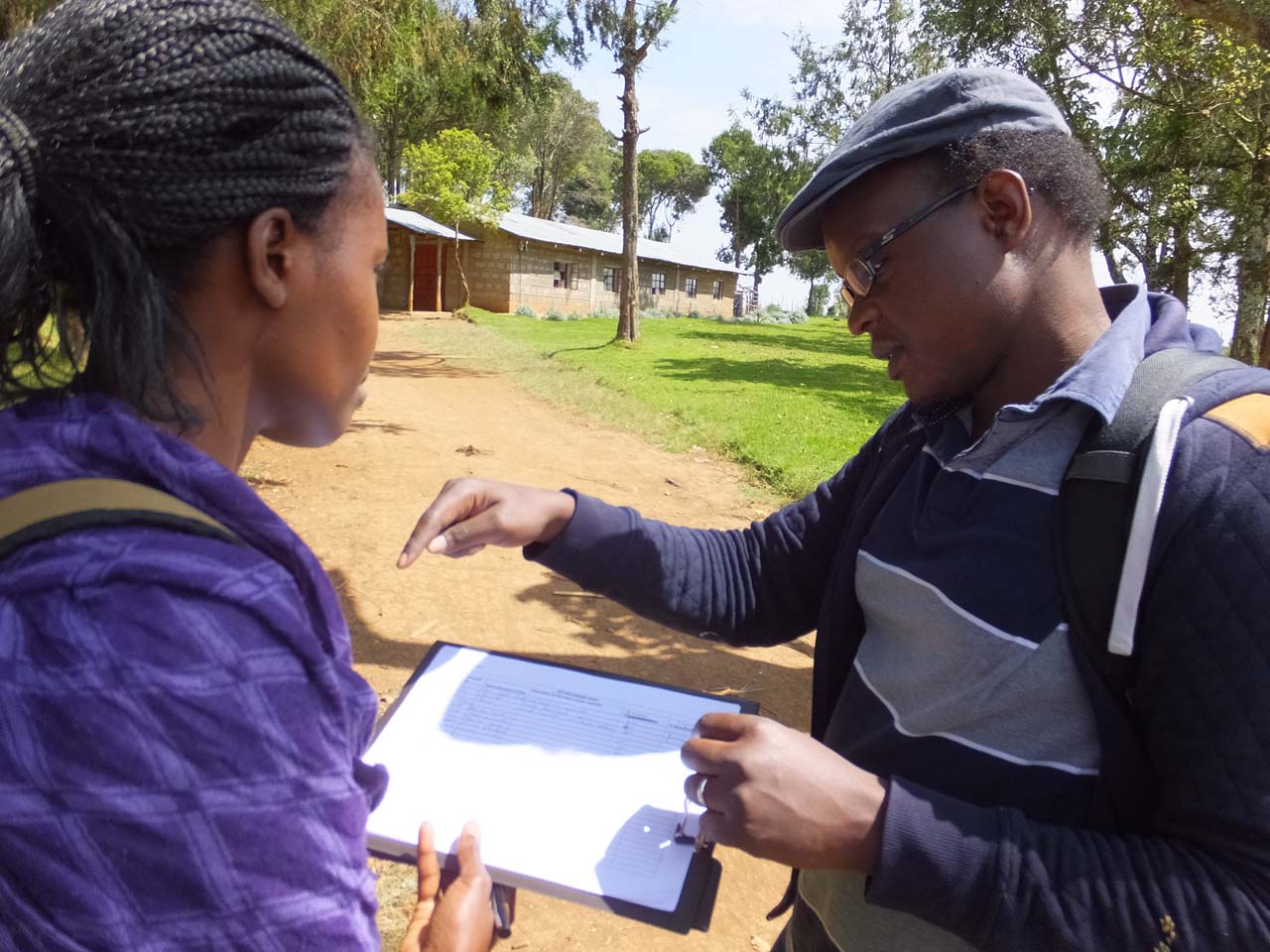
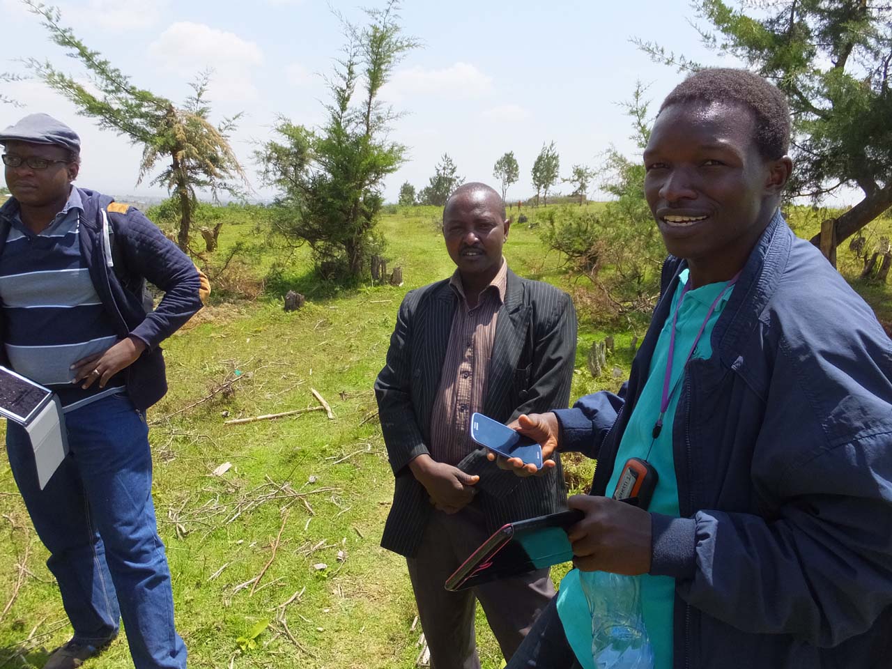
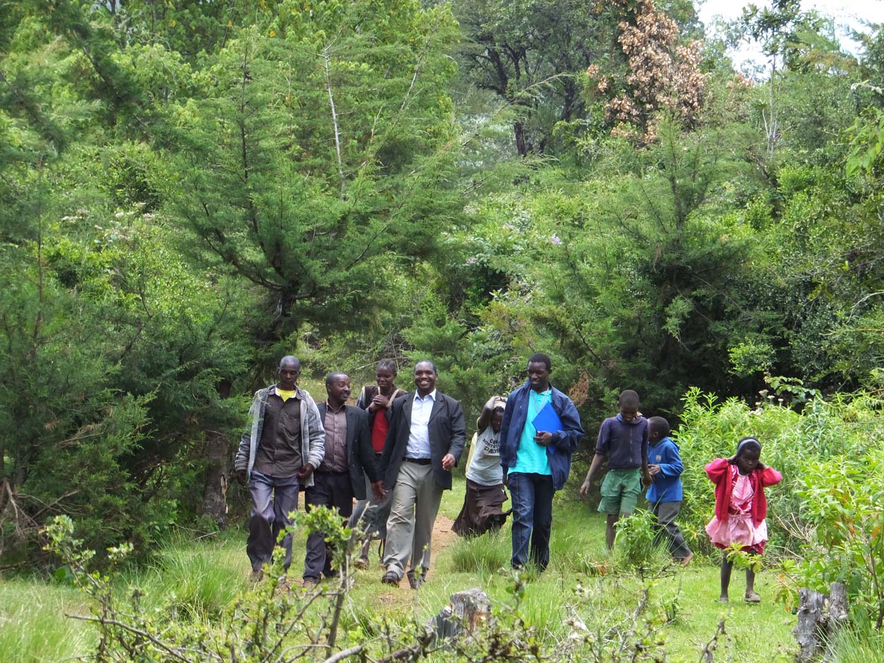
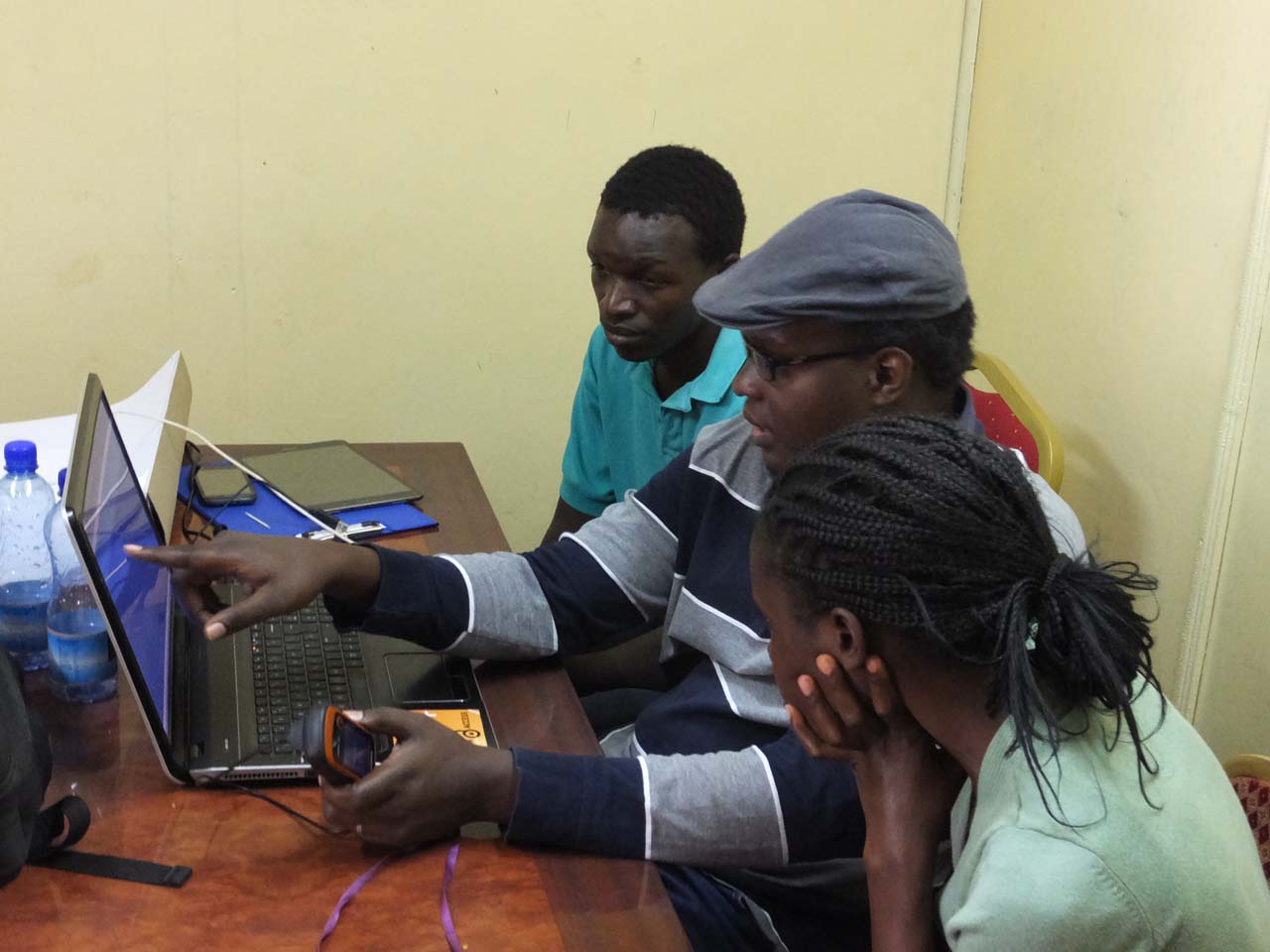
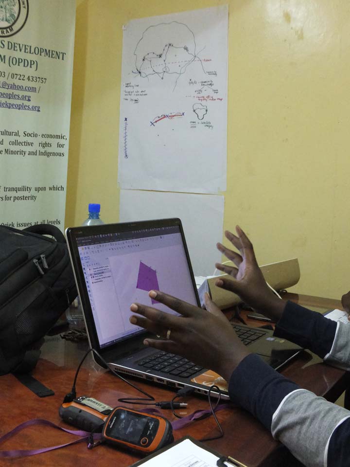
For generations, the Ogiek of Londiani have stewarded the Sorget Forest in Kericho County, yet they have faced repeated evictions and land dispossession. In partnership with the Ogiek Peoples’ Development Program (OPDP), community elders and youth came together to map ancestral boundaries using mobile technology.
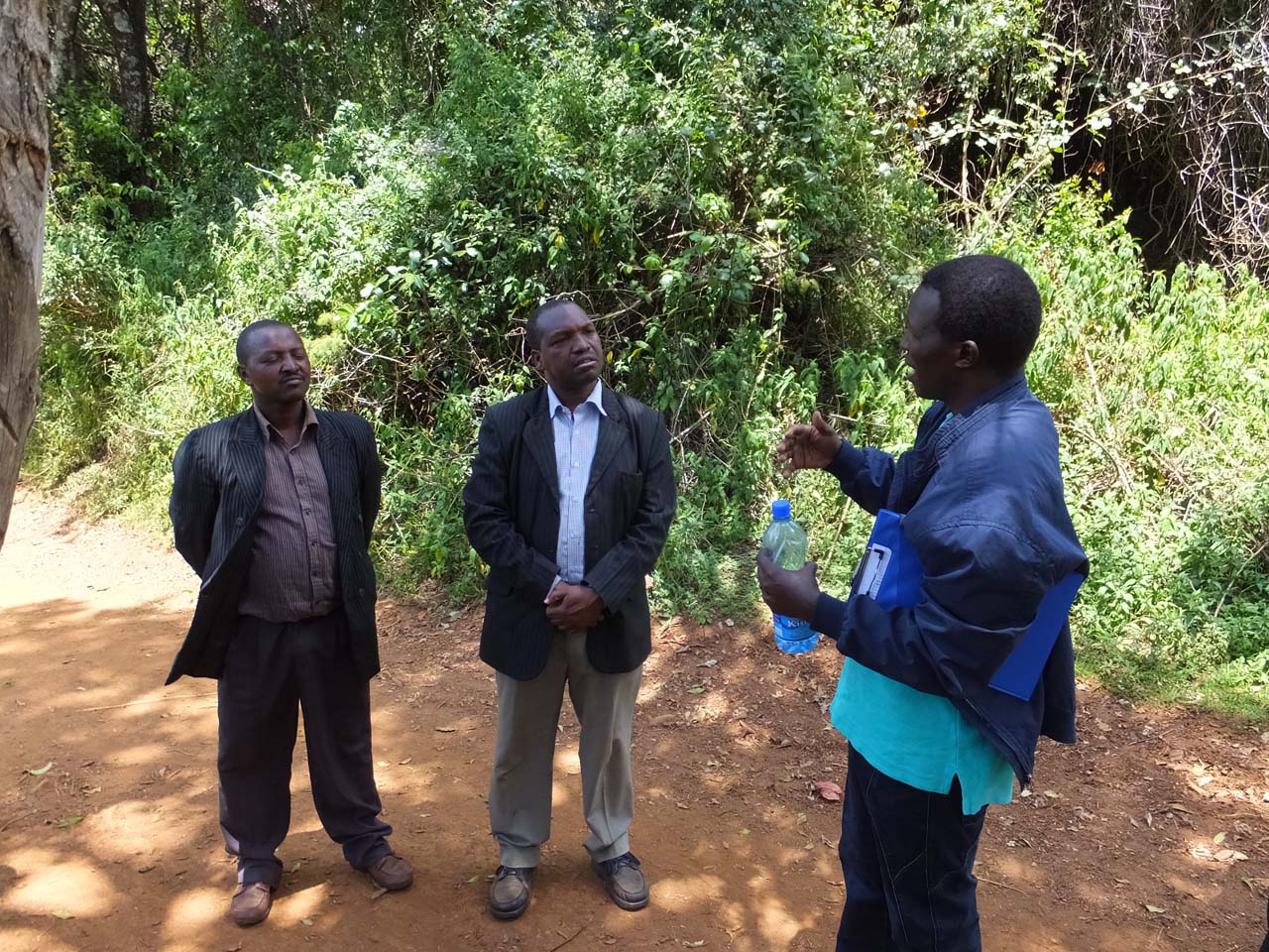
Through participatory mapping and oral histories, the Ogiek documented their long history of displacement, from colonial rule to the 1988 evictions. The resulting maps now serve as powerful tools for advocacy, enabling the Ogiek to press for recognition and restitution under the Arusha court ruling. This initiative demonstrates how communities can combine traditional knowledge with modern mapping tools to defend their land rights and cultural heritage.