FUNDAPAZ, in partnership with Cadasta, is advancing the formal recognition of Indigenous and peasant land rights in Argentina’s El Chaco region. The project focuses on mapping ancestral territories to support collective land titling and strengthen community-led land governance.
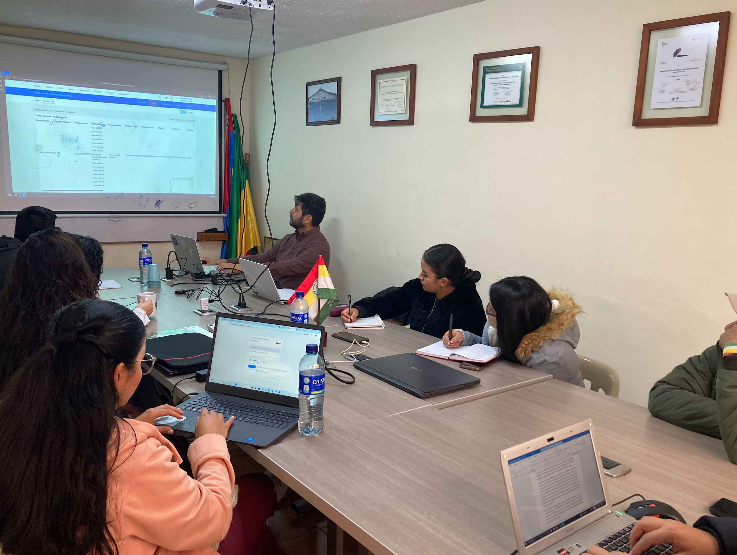
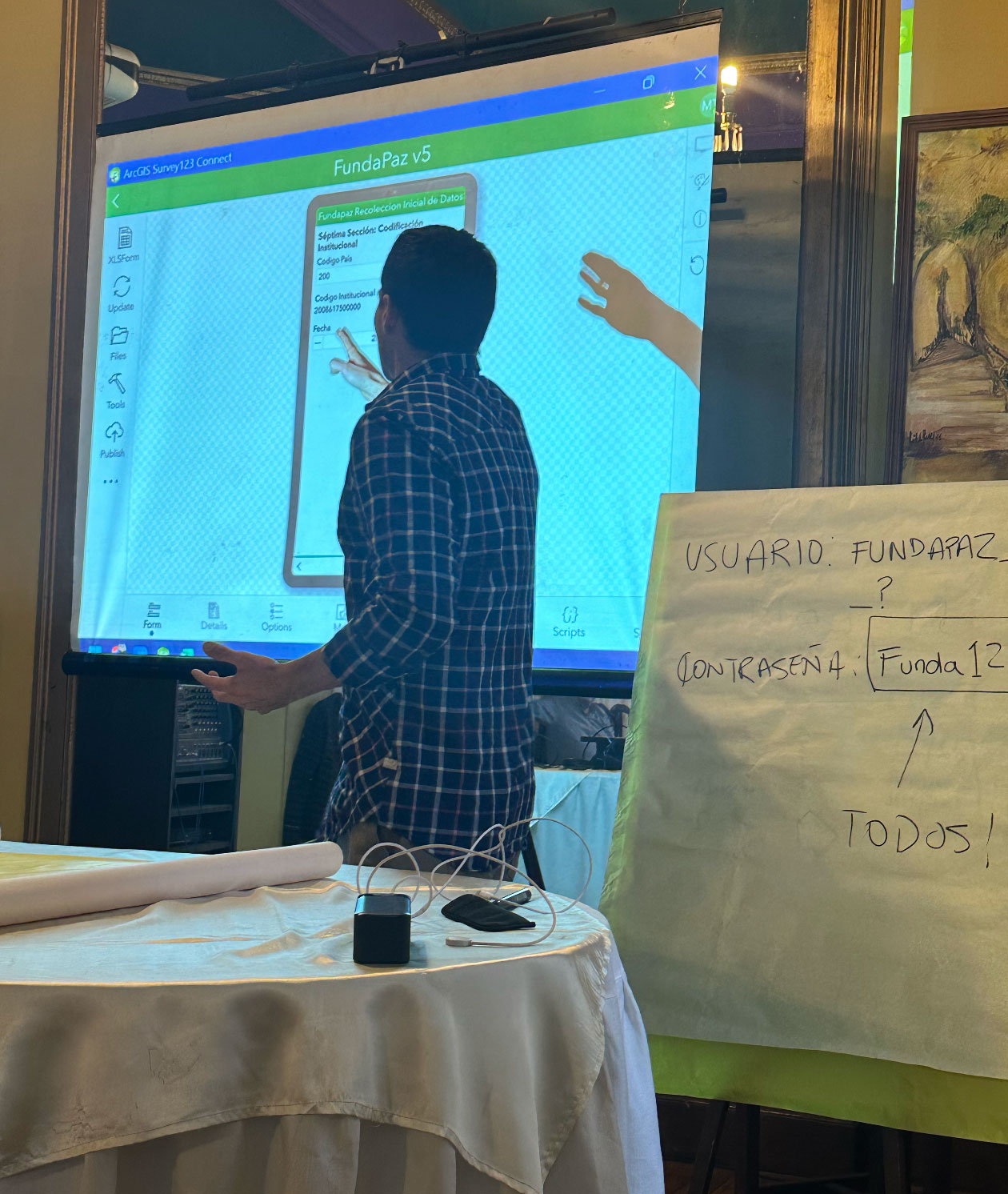
With Cadasta’s training and geospatial technology, including ArcGIS and Survey123, Fundapaz has mapped over 230,000 hectares across 20 communities, benefiting approximately 5,400 people. Of this, roughly 108,000 hectares are eligible for formal land title applications, potentially securing land rights for 1,900 individuals.
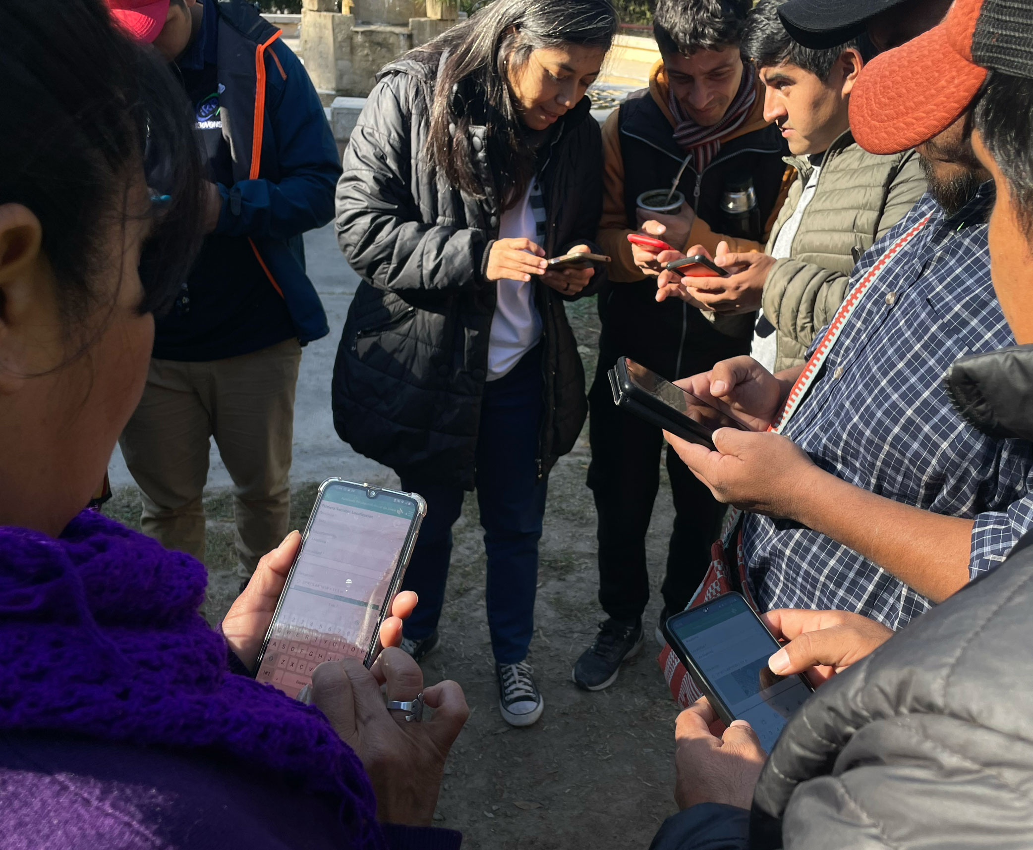
By systematizing data through the Fundapaz GIS environment and Institutional Database (BDI), the project is creating a sustainable structure for territorial data collection and management. FUNDAPAZ has also developed a comprehensive App User’s Manual and Survey123 form to guide field data collection, ensuring consistency and accuracy across provinces.
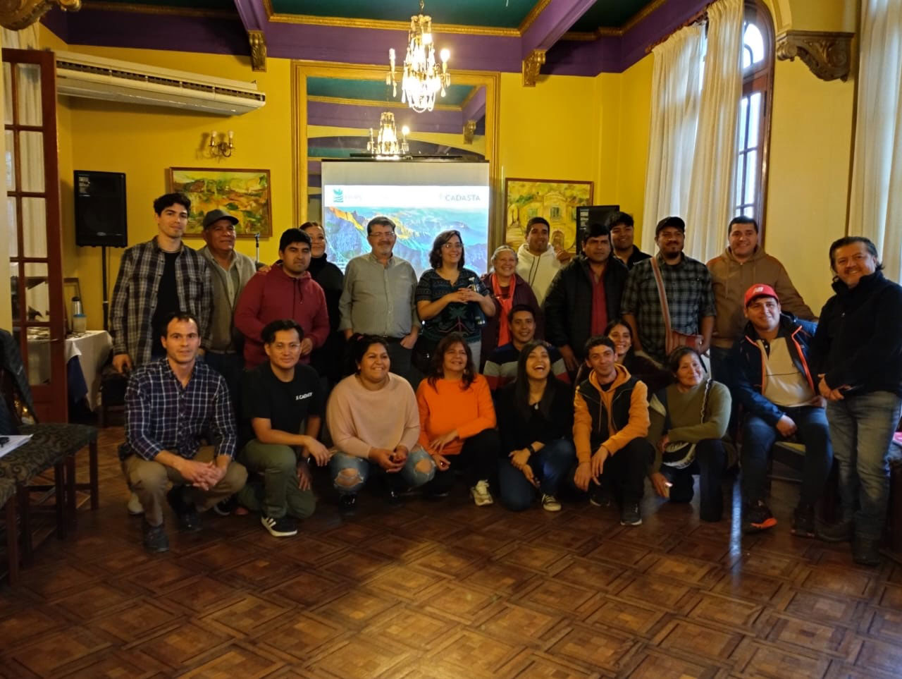
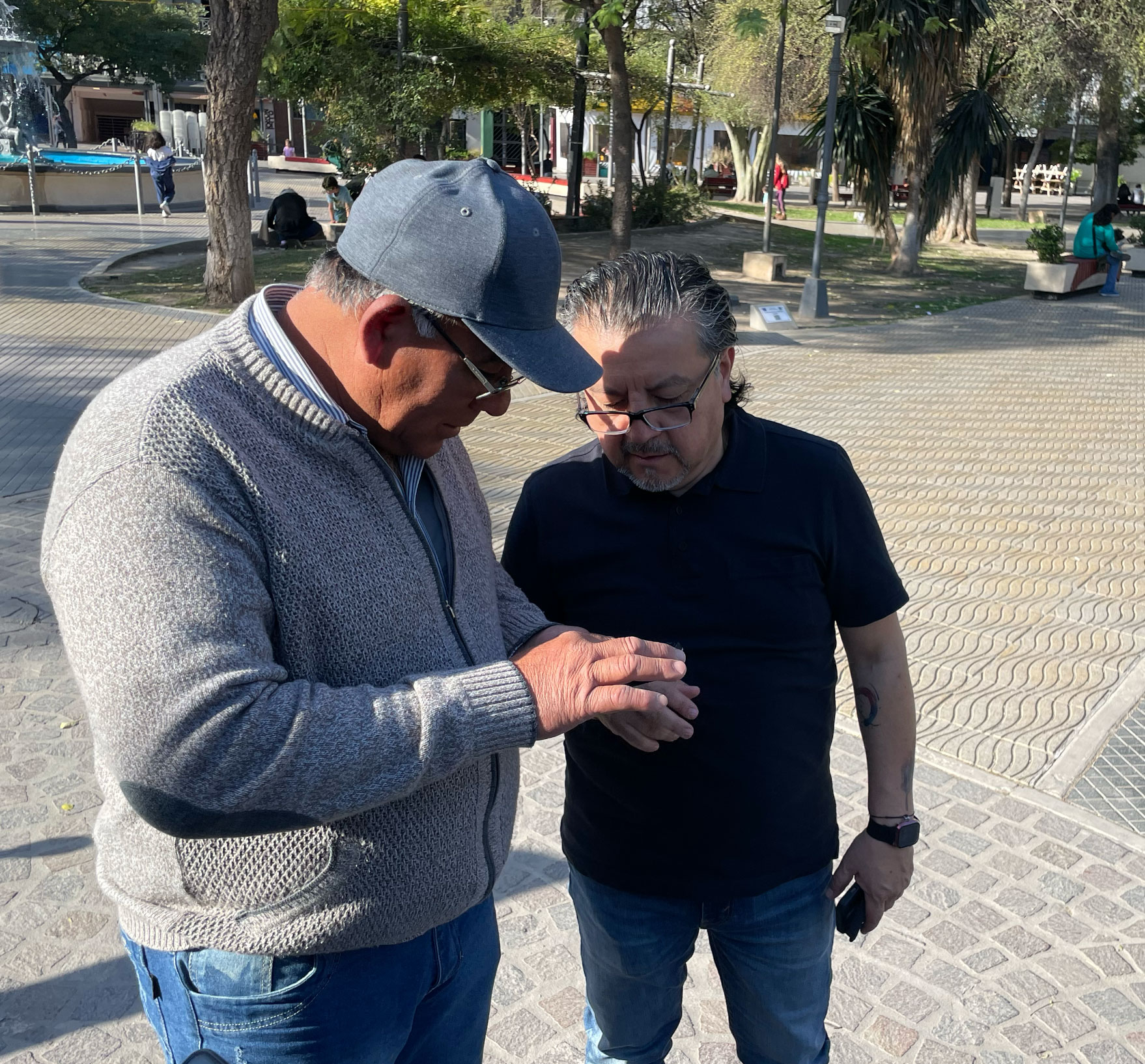
Community mapping has advanced in Salta, Santiago del Estero, and Santa Fe, with active participation from the Council of Wichí Organizations (COW), the Lule-Vilela and Toro Human Indigenous Communities, and the Mocoví and Cami Iava communities. These efforts have built local technical capacity and supported ongoing land titling processes with provincial governments.
Workshops held in the Salado Norte region have created valuable spaces for dialogue between Indigenous and peasant leaders, strengthening collaboration through the Mesa de Tierras del Salado Norte (MTSN), a regional coalition promoting sustainable land management and equitable policy reform.