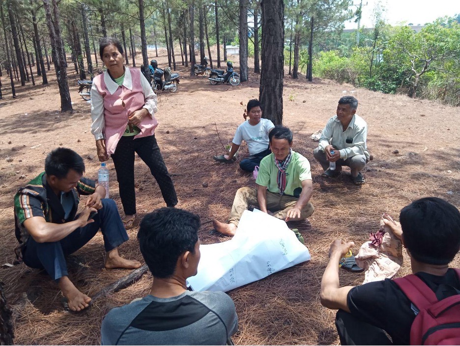
The Cambodia Indigenous Peoples Alliance (CIPA) is leading efforts to ensure Indigenous communities can manage and protect their ancestral territories through culturally appropriate systems of local governance. In partnership with Cadasta, the organization is helping Indigenous groups in Mondulkiri, Koh Kong, and Sihanoukville provinces document and register communal lands through community land titling, social land concessions, and heritage site registration.
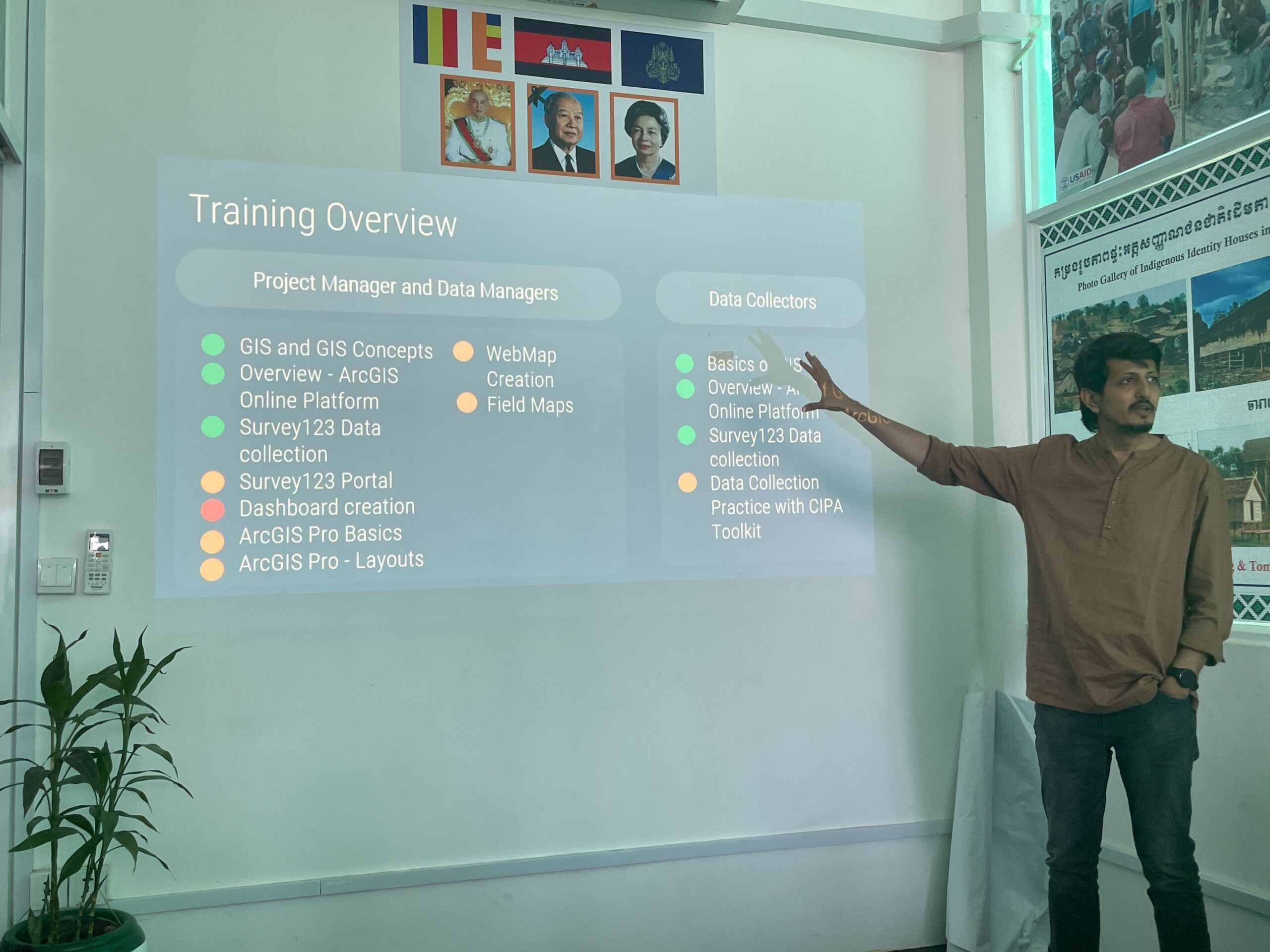
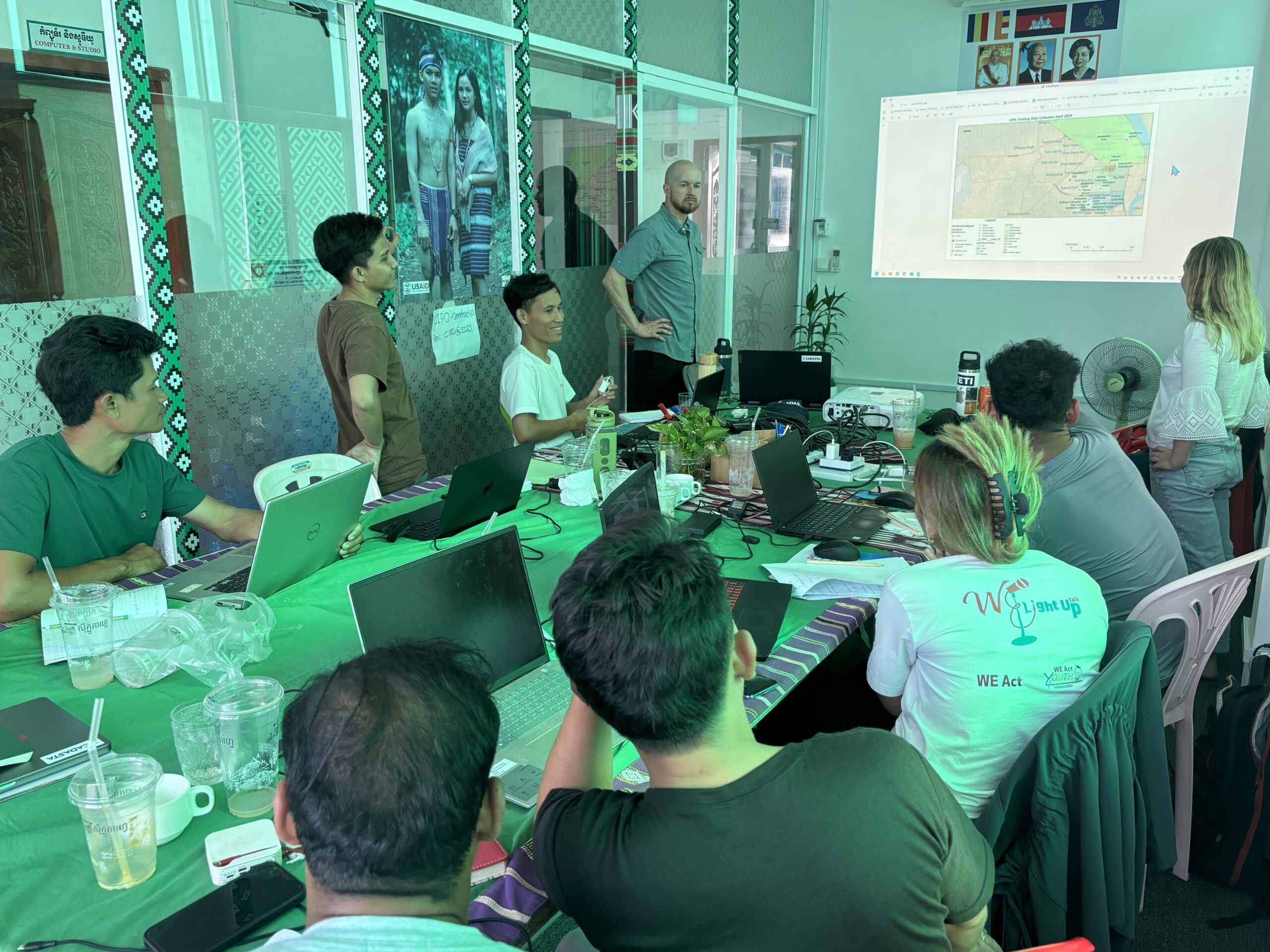
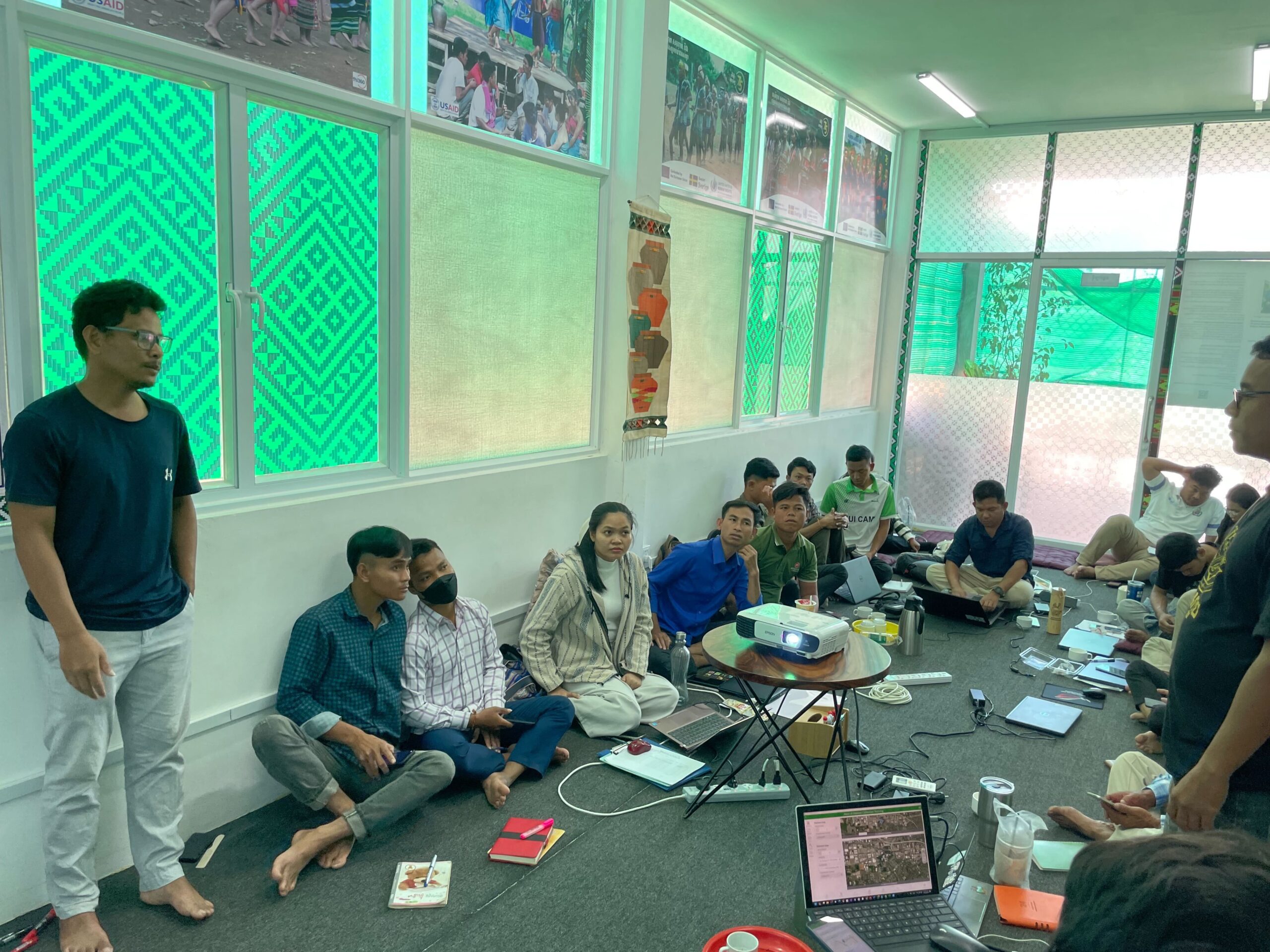
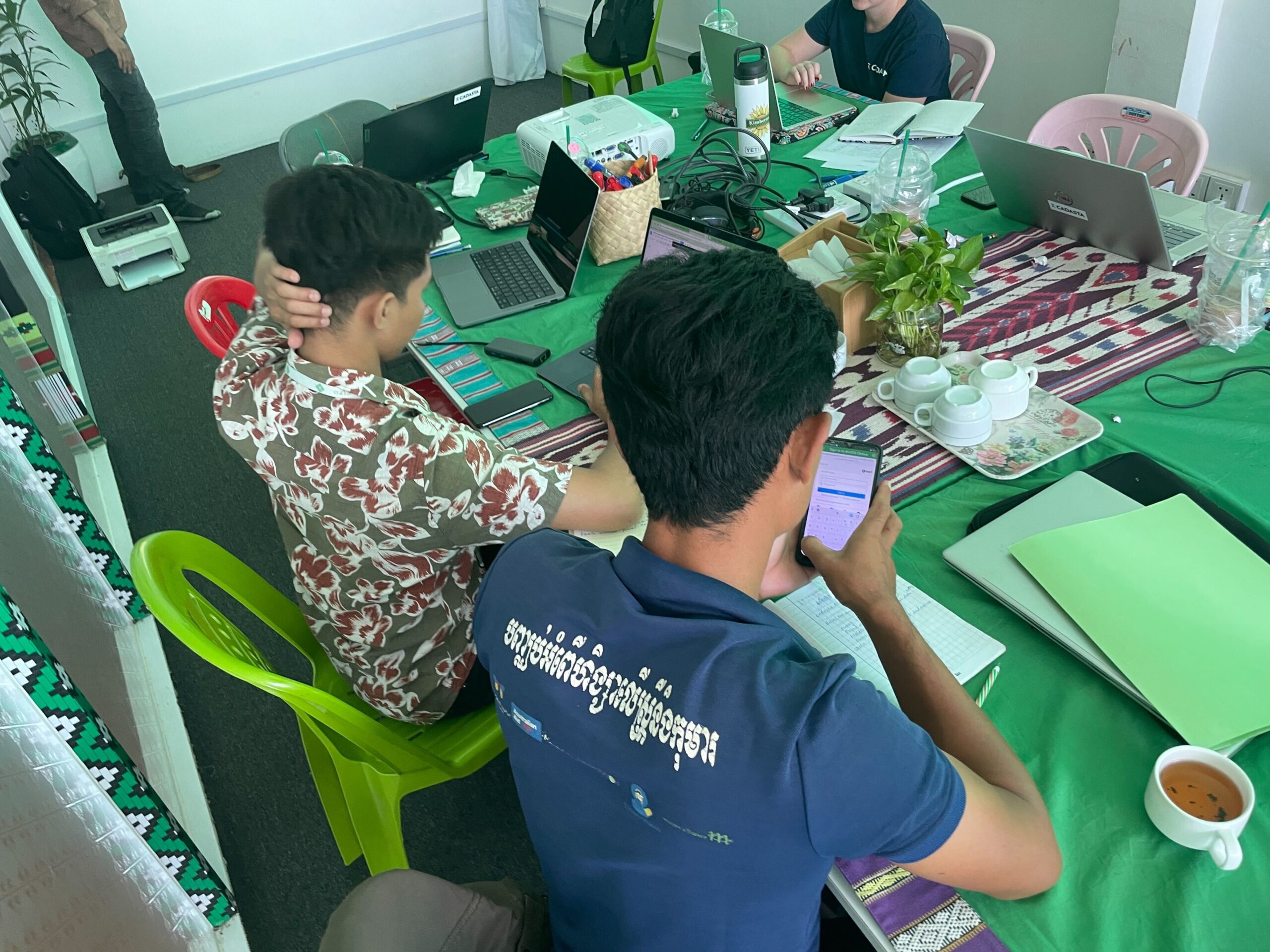
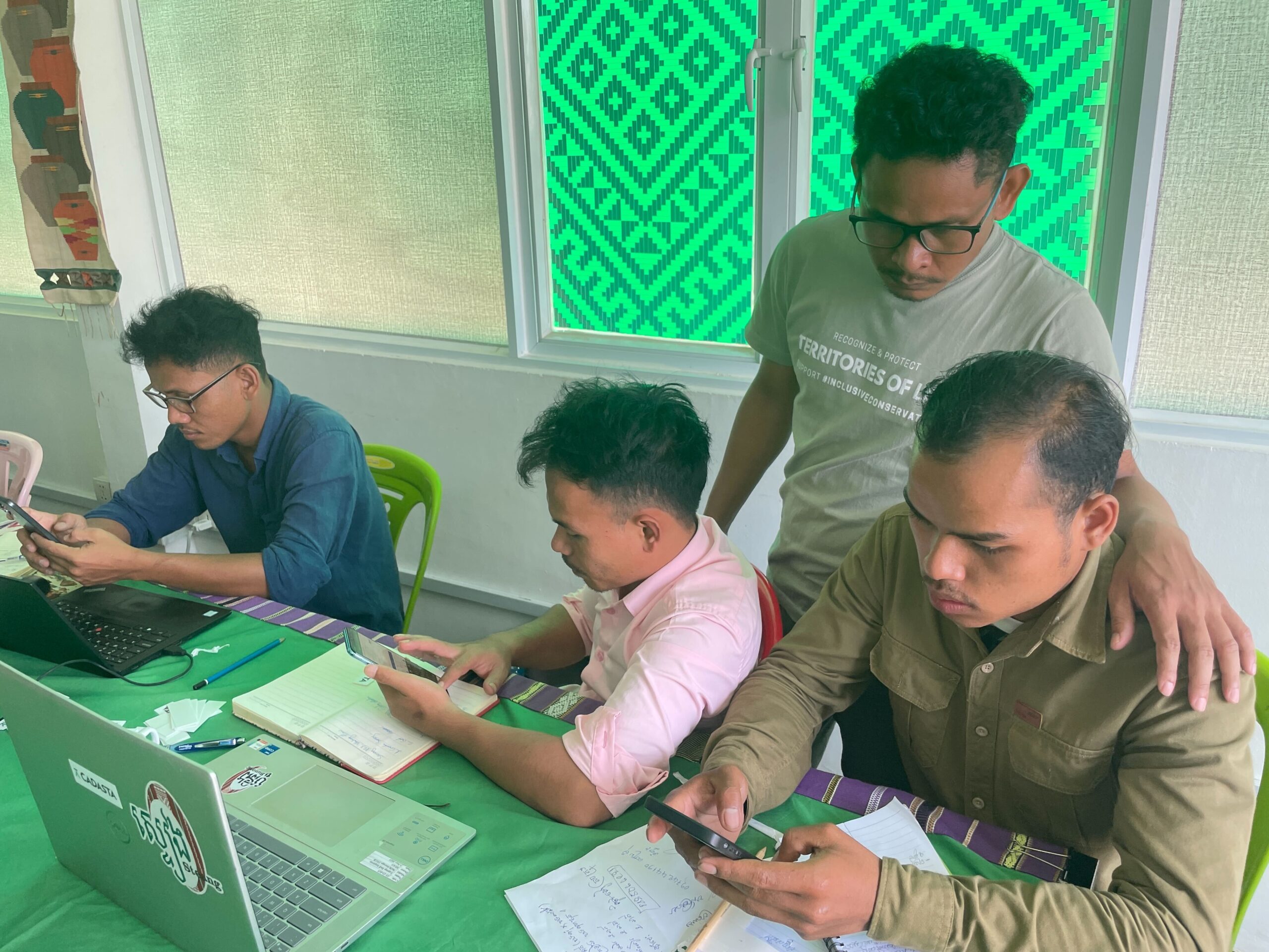
With Cadasta’s training and tools, including Survey123 and ArcGIS, CIPA has mapped more than 3,400 hectares of community land in Mondulkiri, including sacred and heritage sites such as Yok Sros Phlom (“Virtuous Woman’s Breast Mountain”). The project team, composed primarily of Indigenous youth and women, is leading mapping and data collection activities across ten communities.
The project also established the Kanayang (“We Are One”) Network, linking the Chong, Souy, Sa’Och, and Por Indigenous groups to strengthen solidarity, cultural exchange, and joint land advocacy. CIPA continues to play a leading role in national land law consultations and regional dialogues on Indigenous land rights, sharing lessons from this initiative to influence policy and legal recognition of Indigenous territories.