Community Land Development Foundation (COLANDEF)

Securing Land and Forest Rights in Ghana’s Obogu Region
Location
Funded By
Obogu Traditional Area, Ashanti Region, Ghana
UK International Development from the UK Government
Project Timeline
Project Area
2023–2024
Customary Land Rights & Sustainable Farming

Project with Cadasta

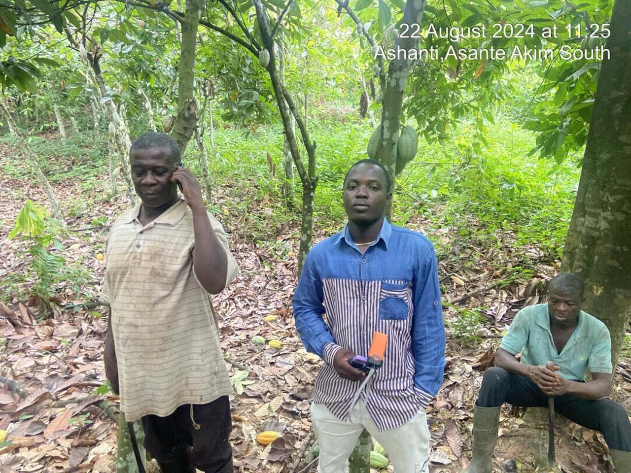
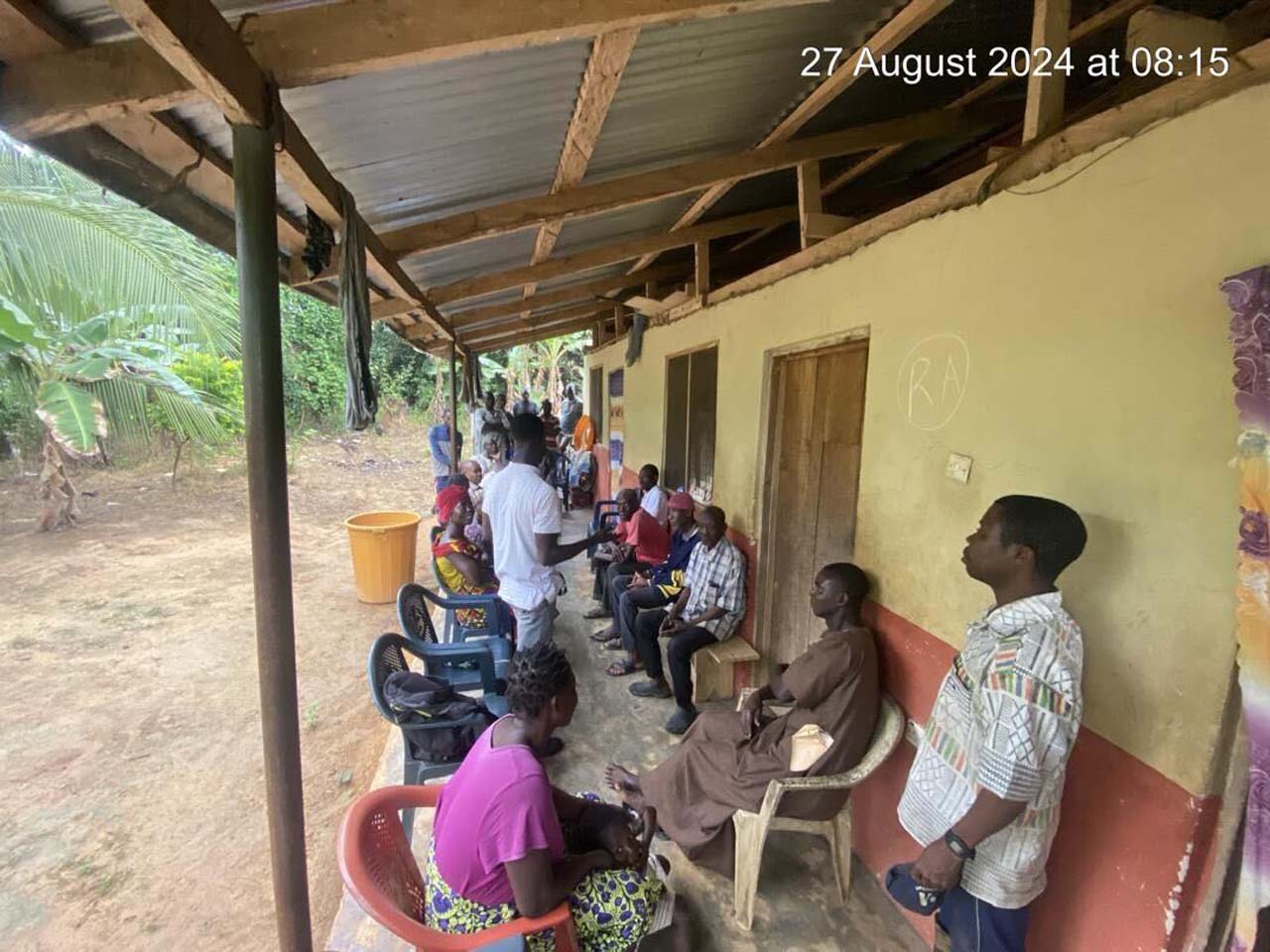
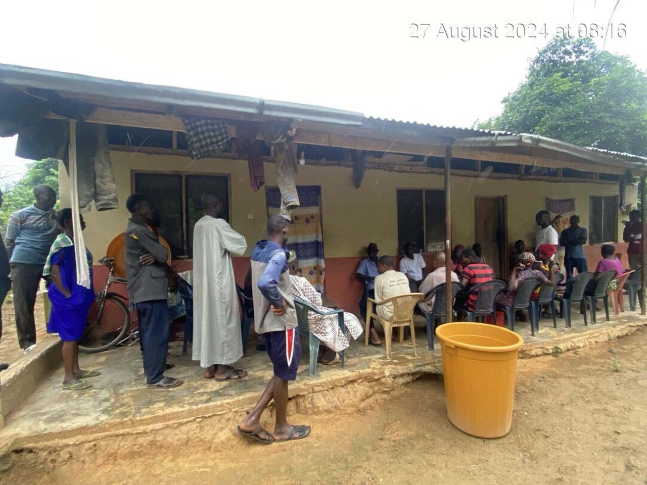
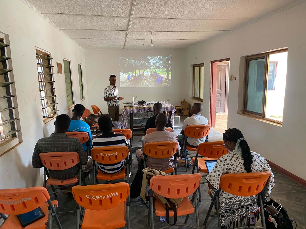
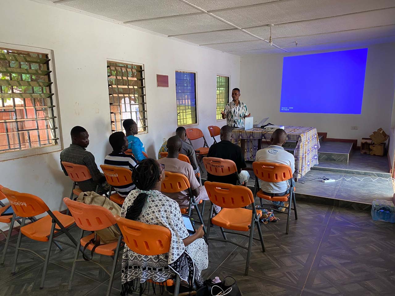
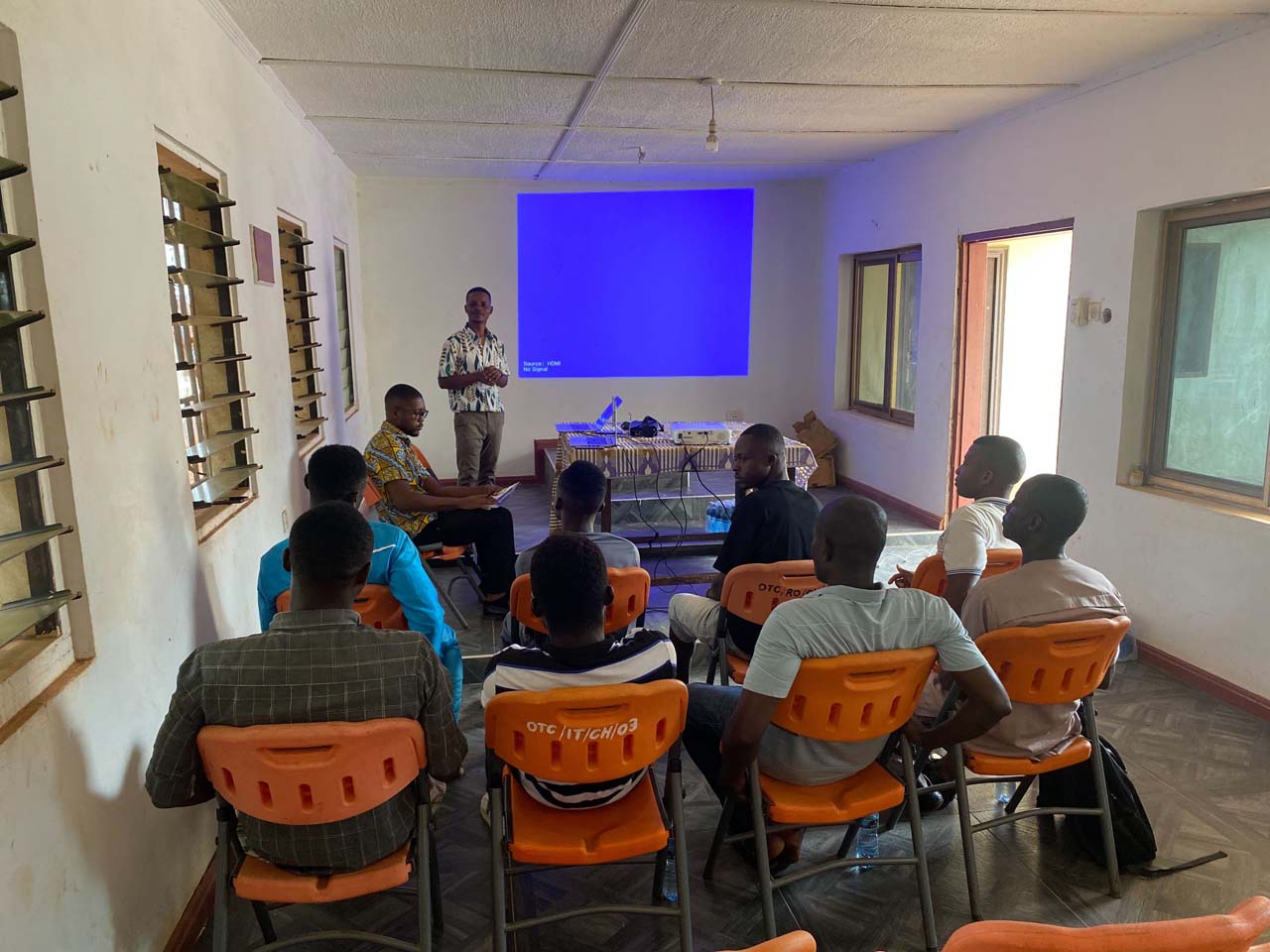
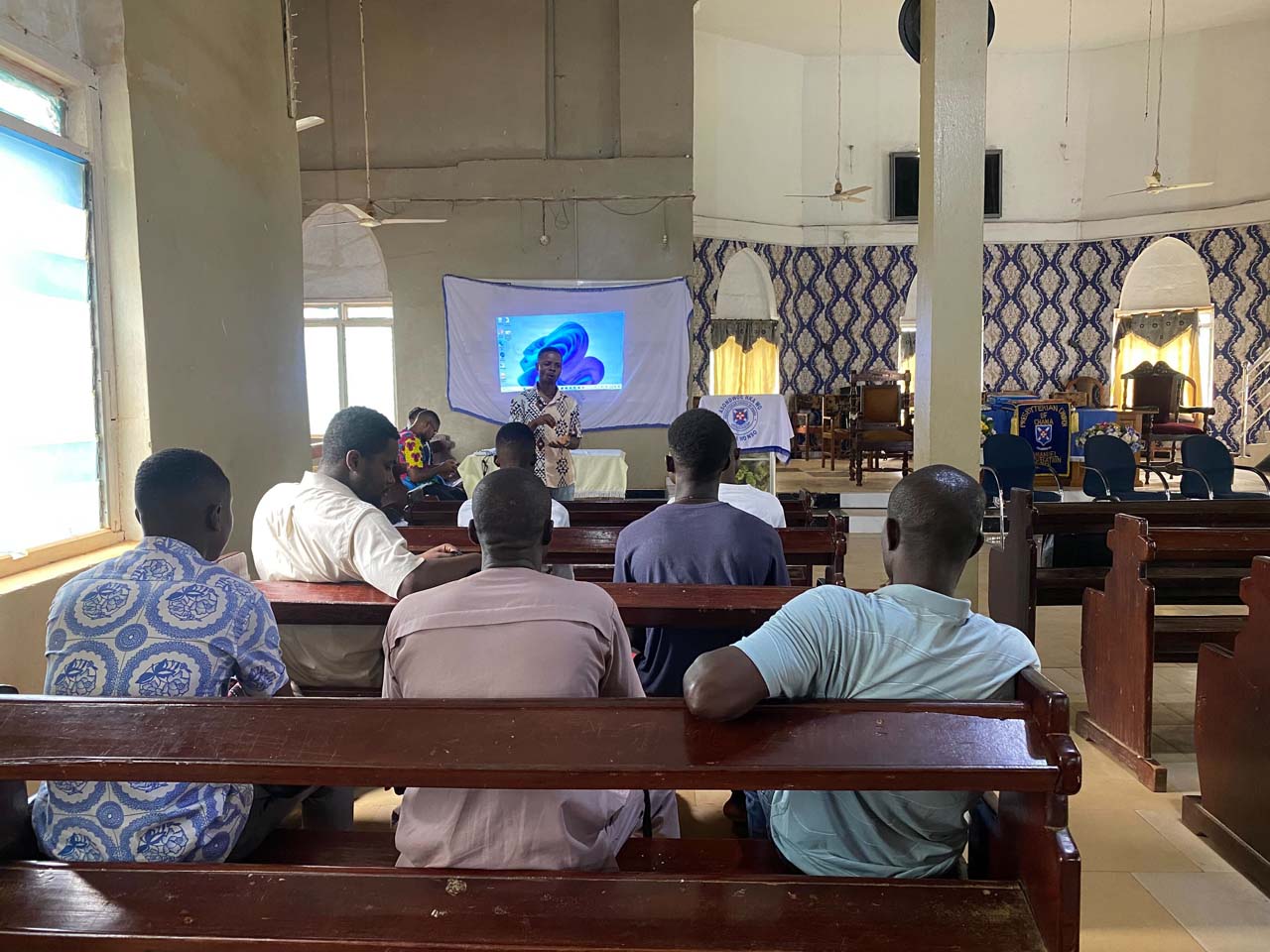
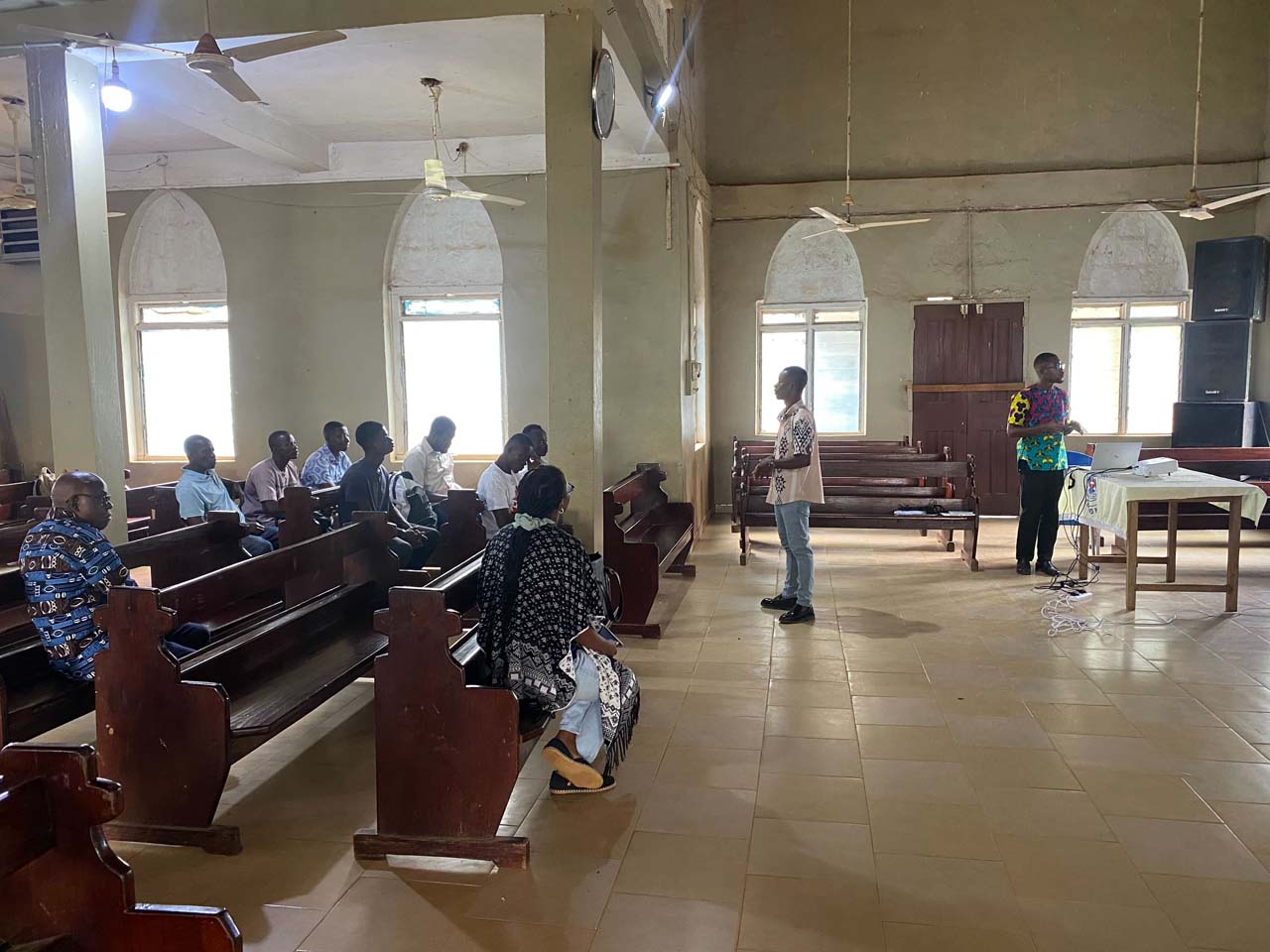
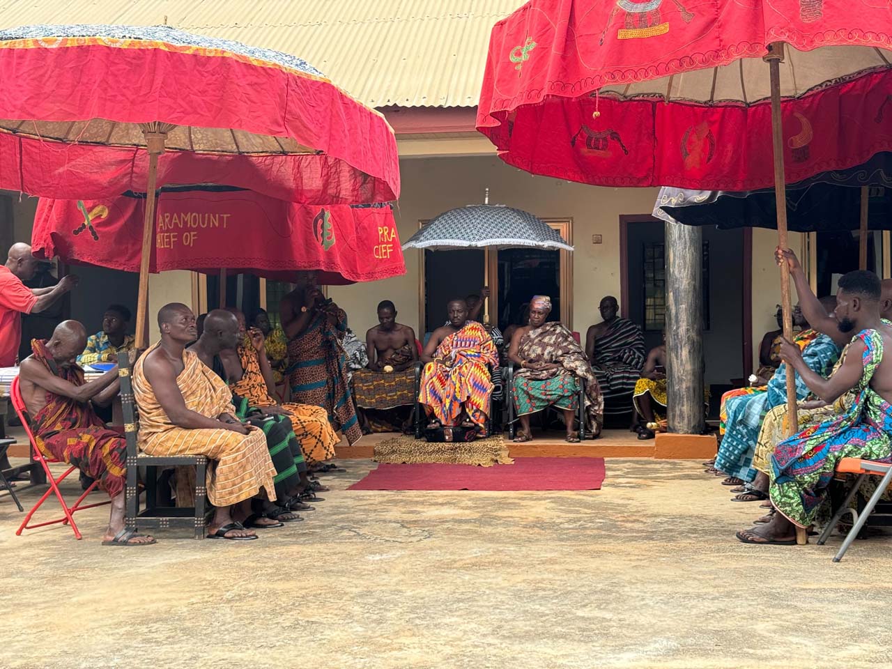
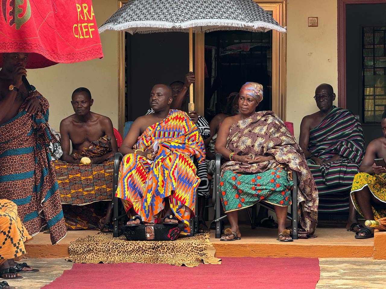
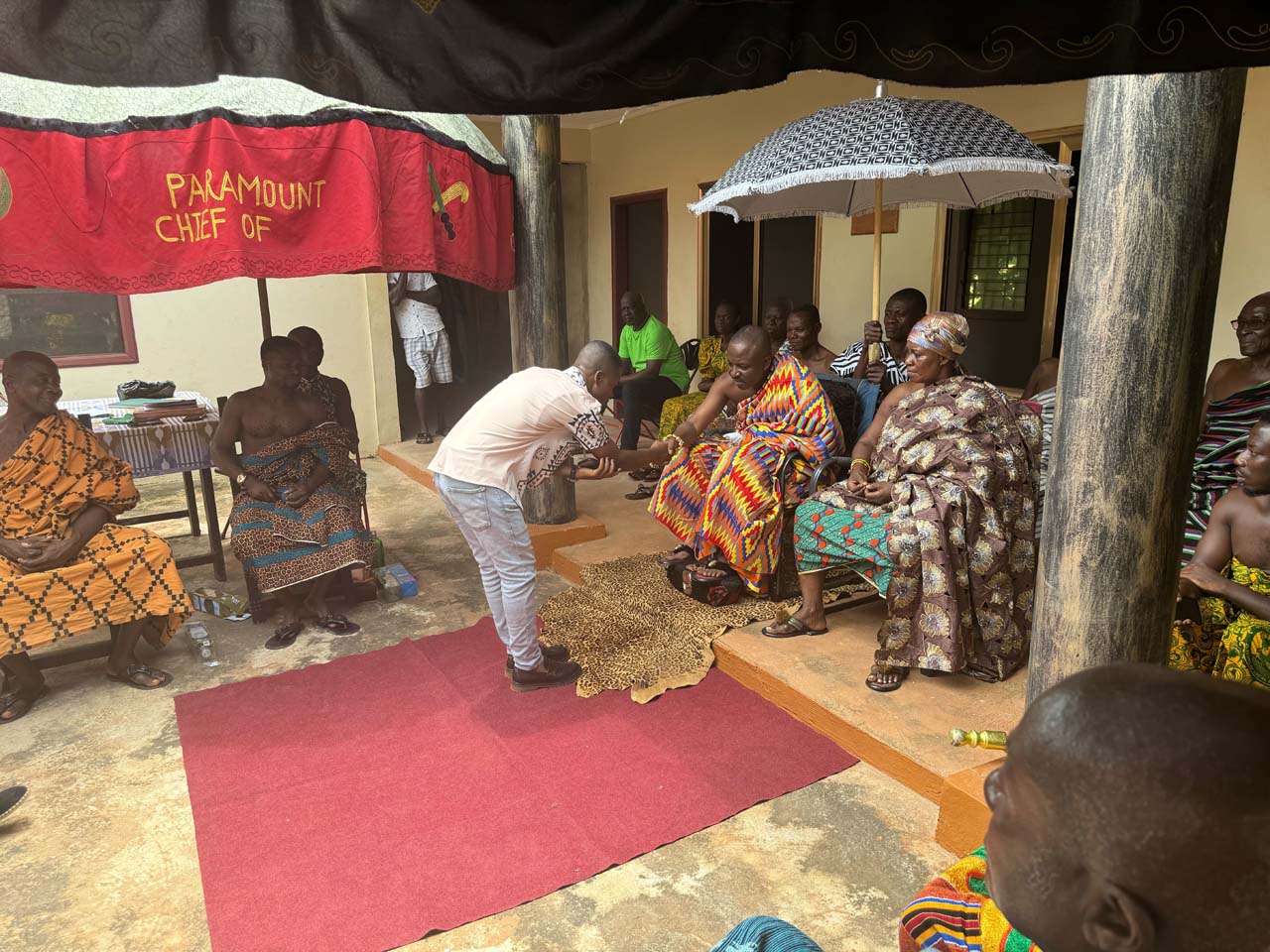
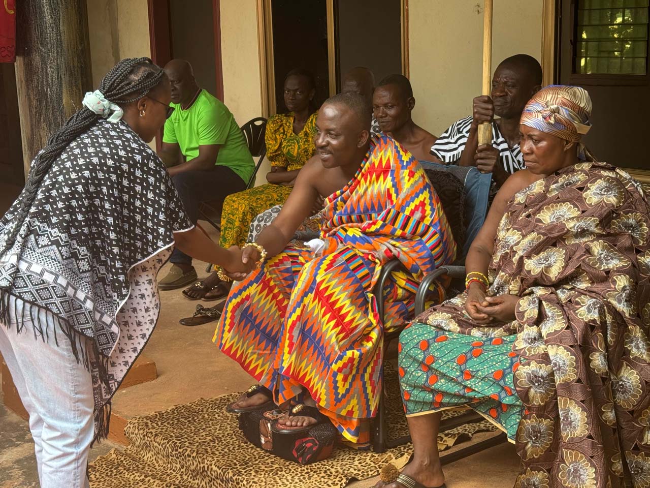
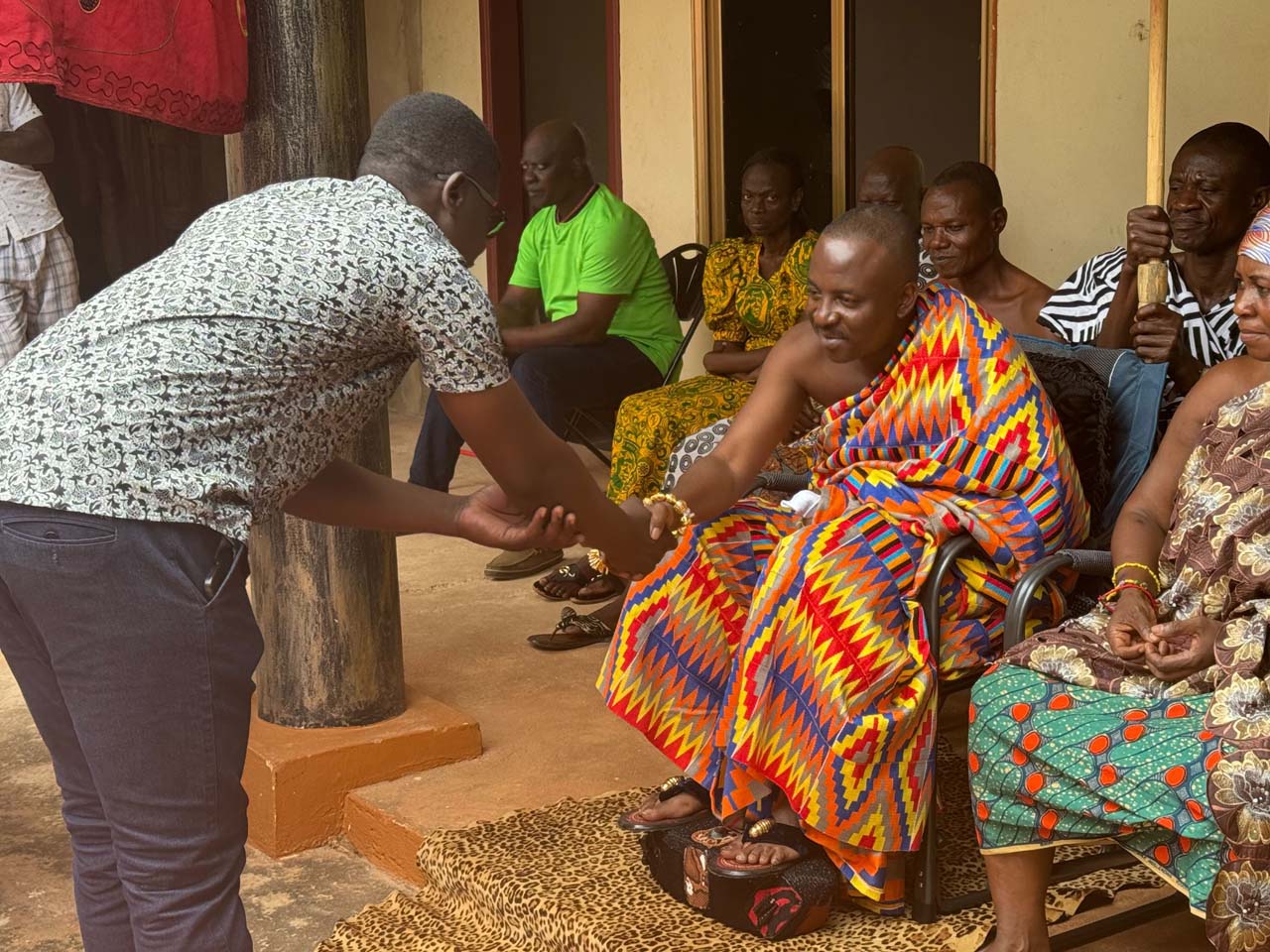
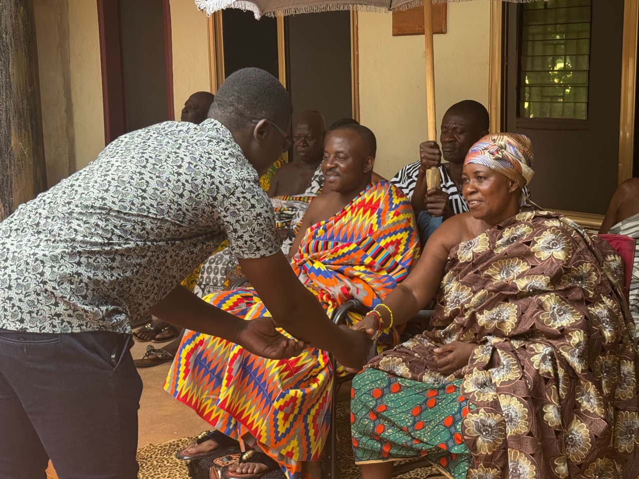
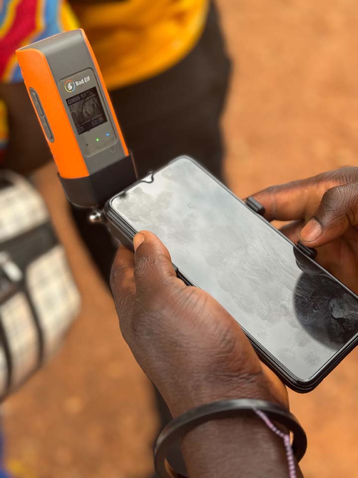
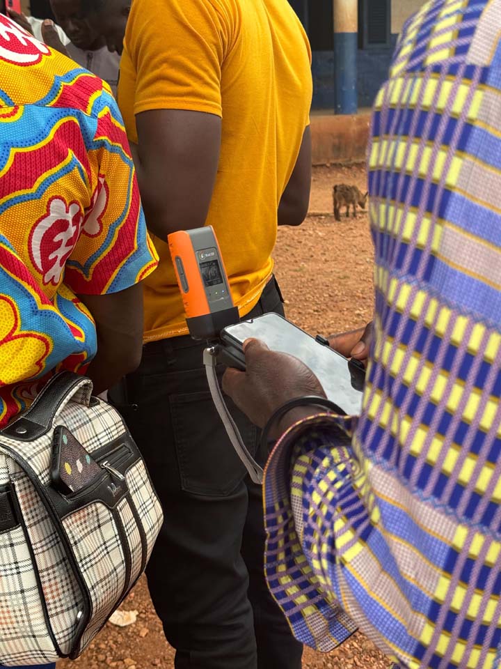
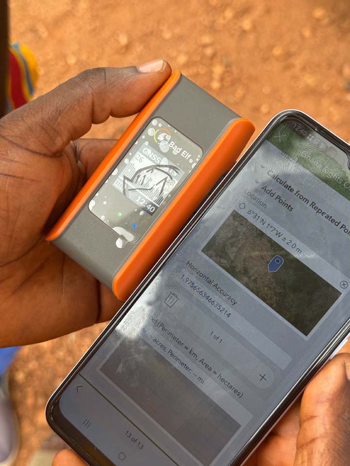
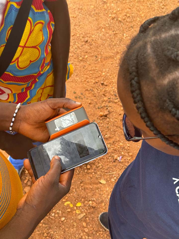
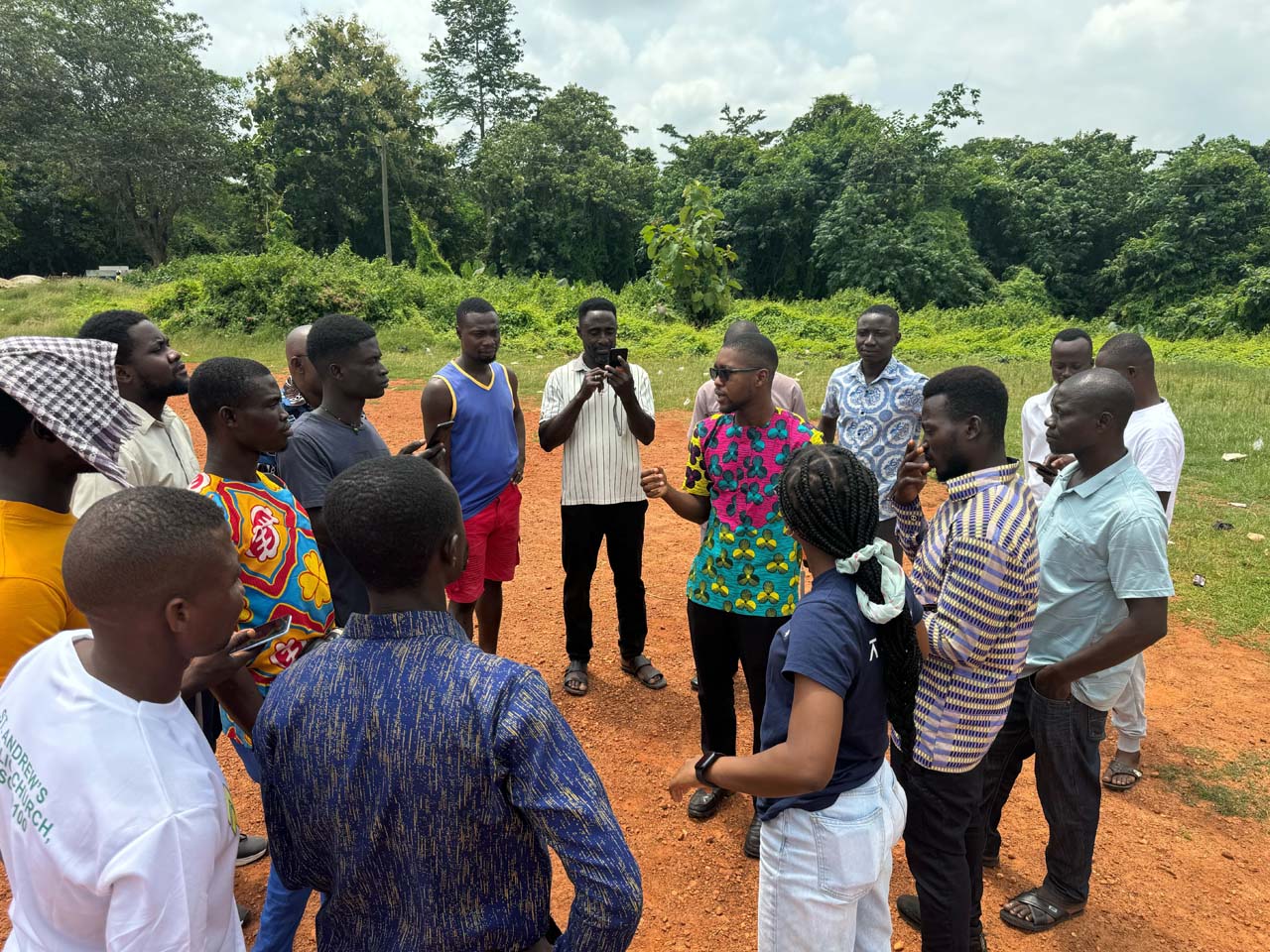
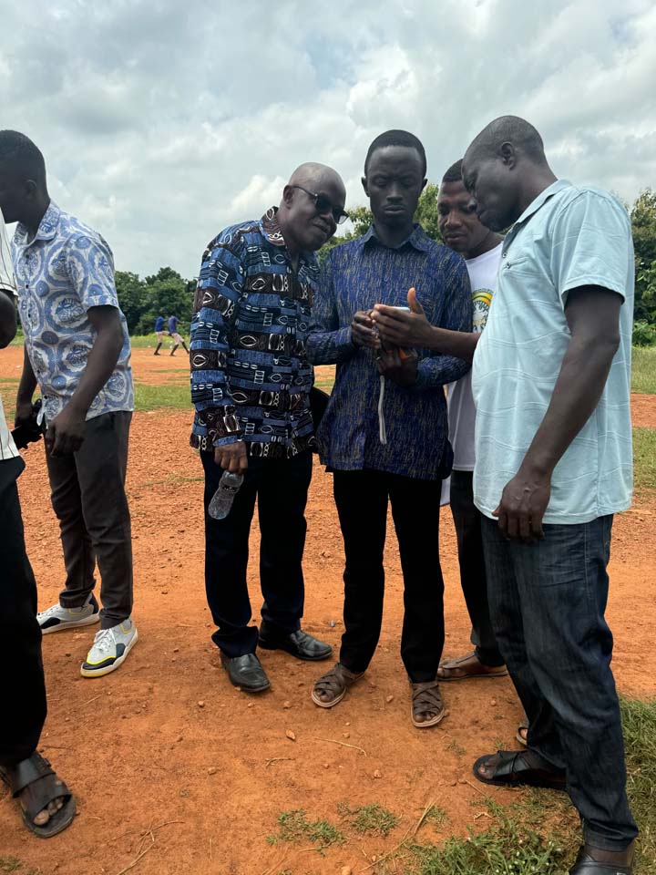
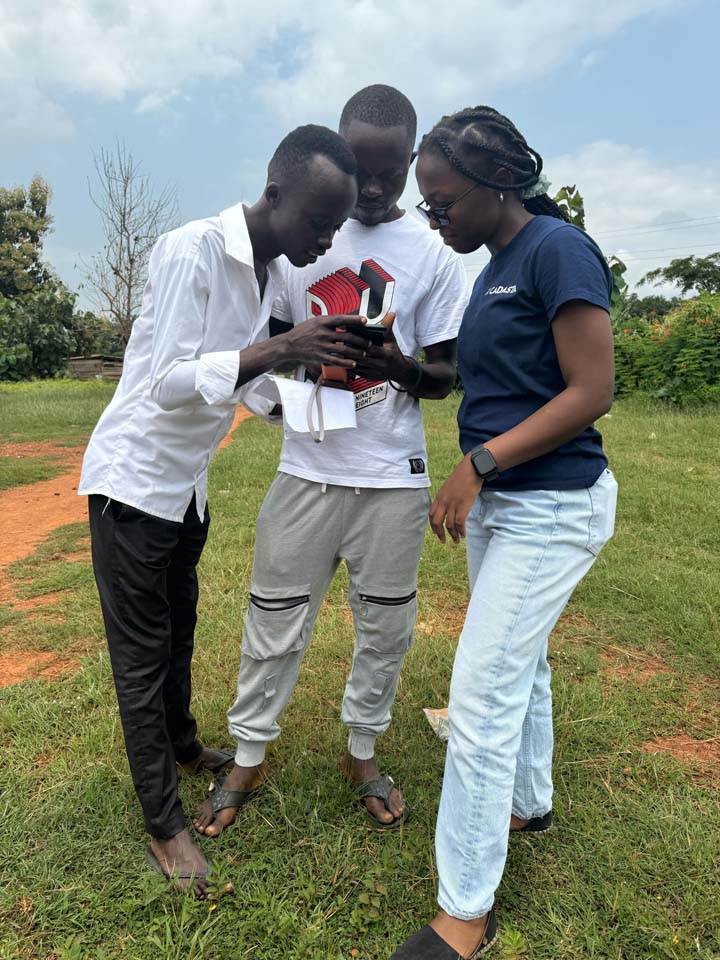
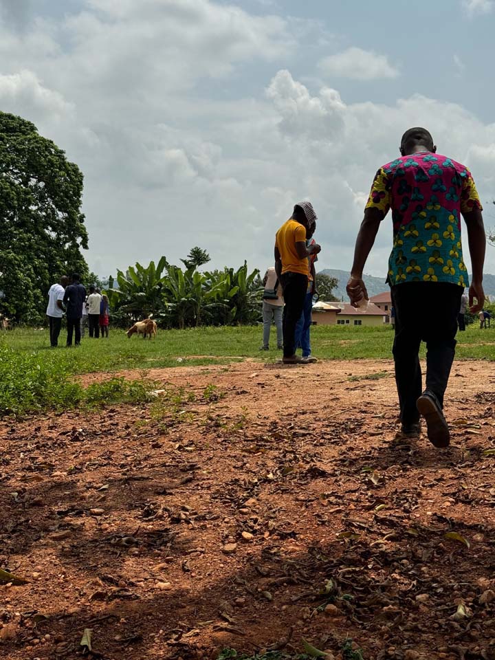
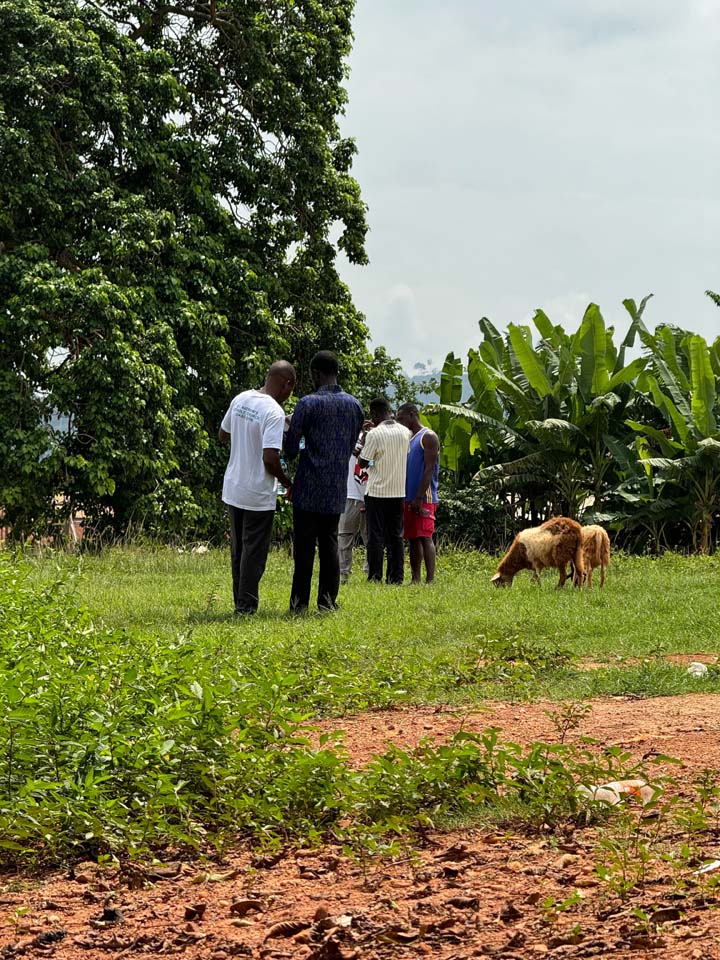
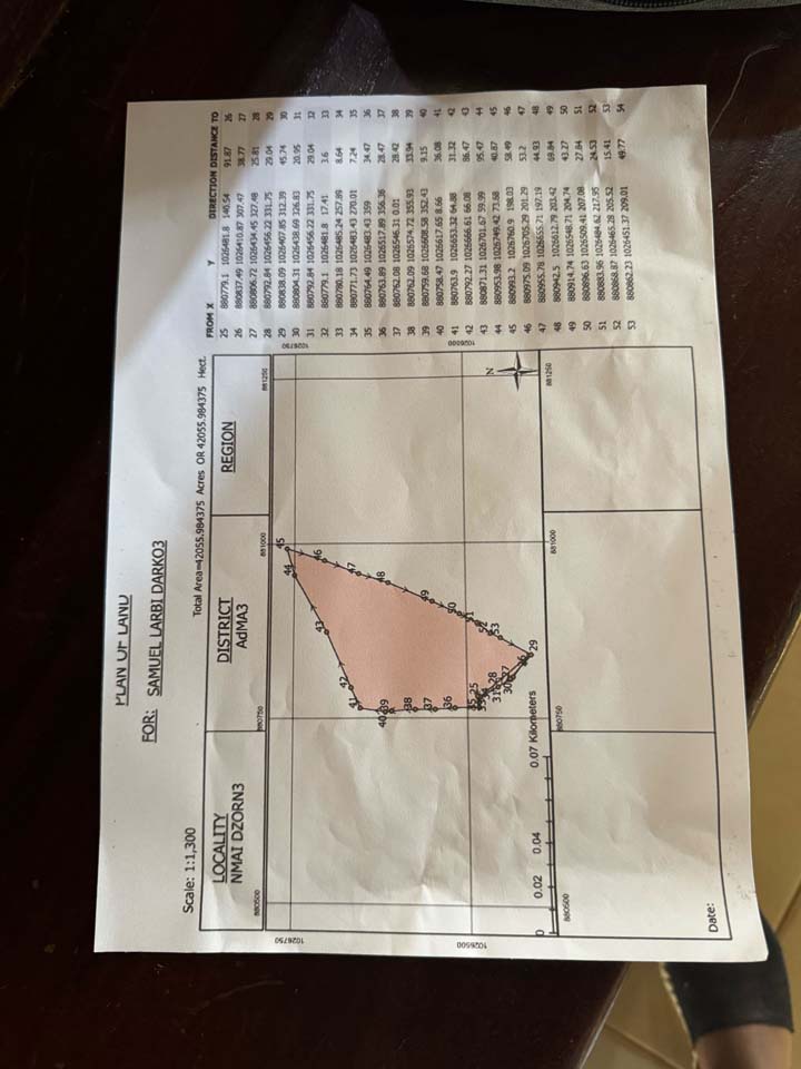
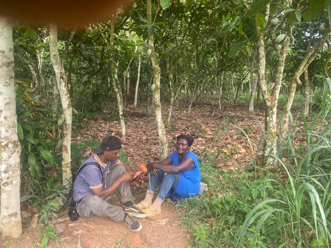
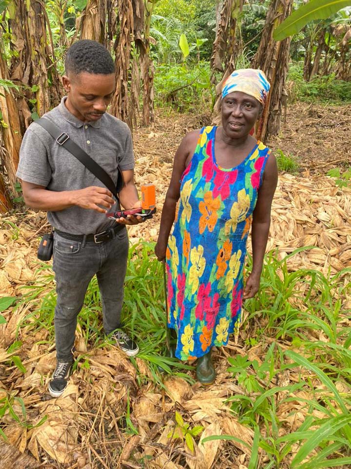
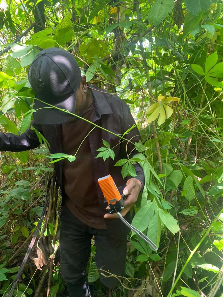
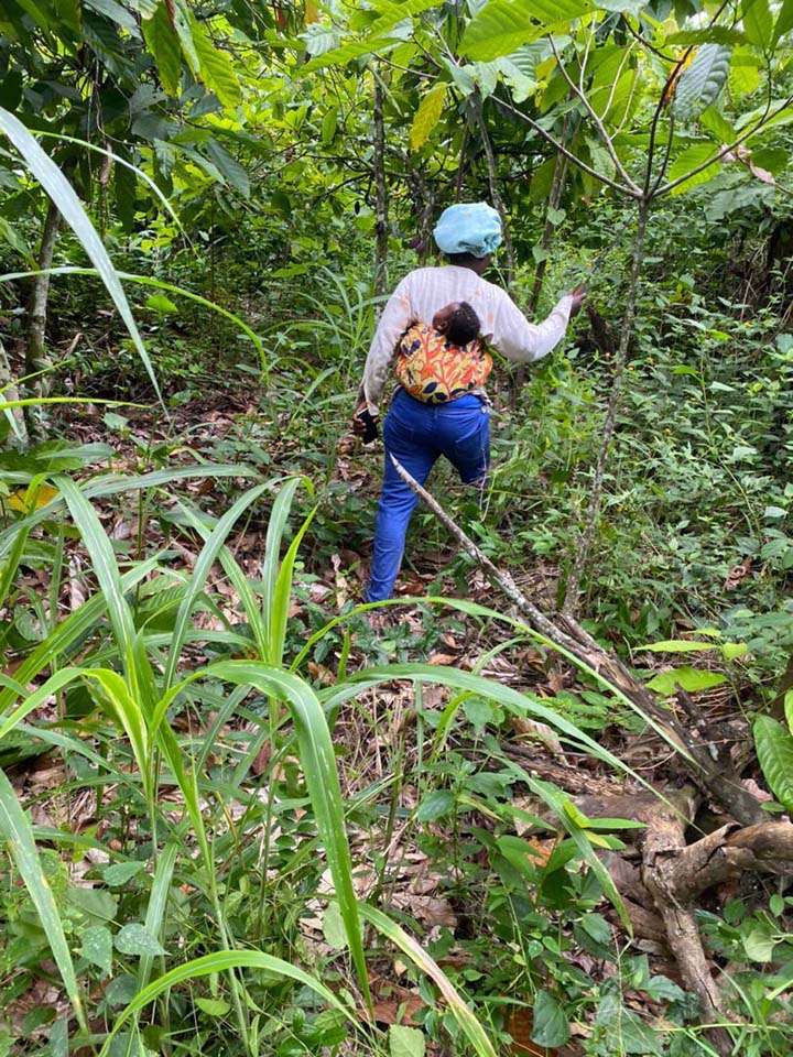
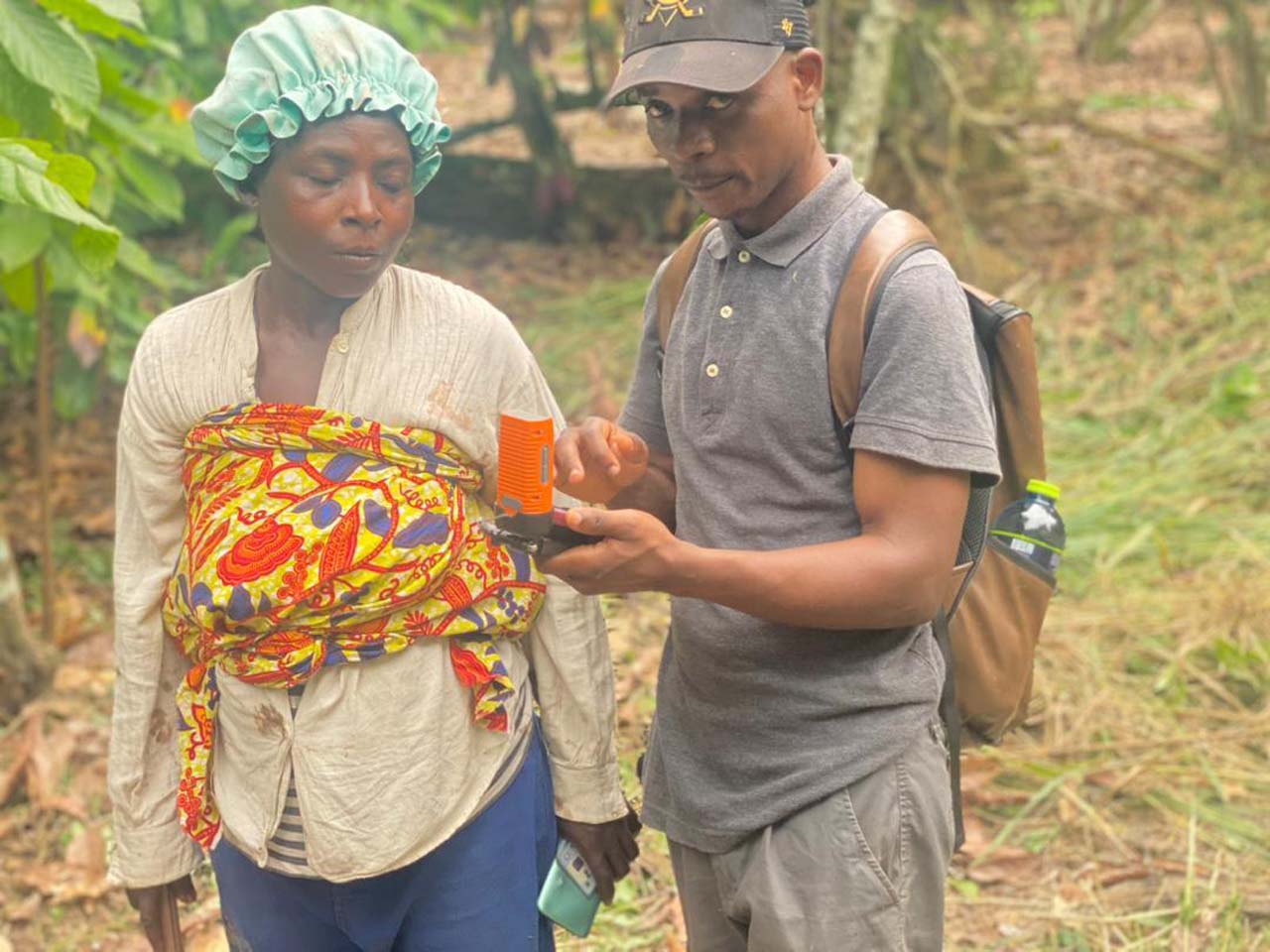
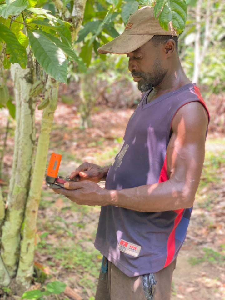
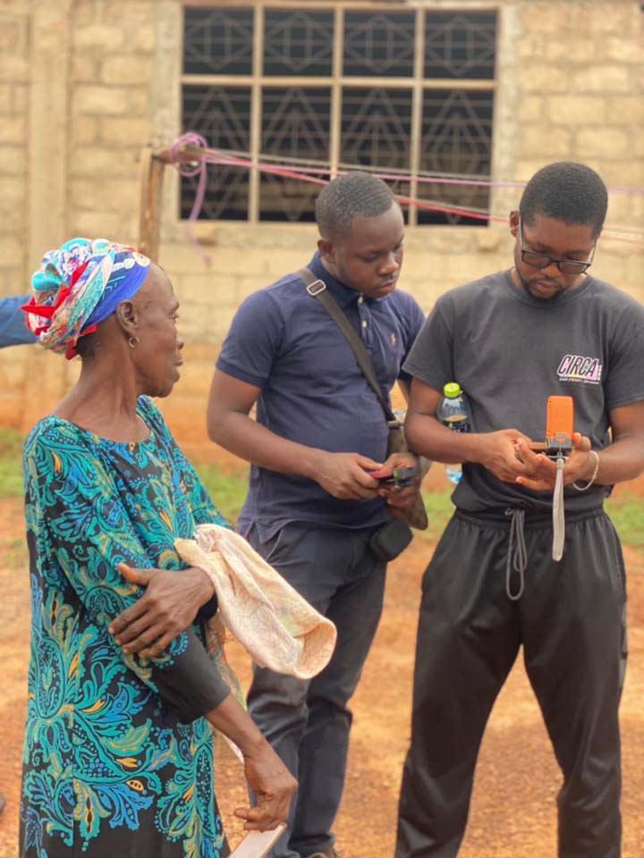
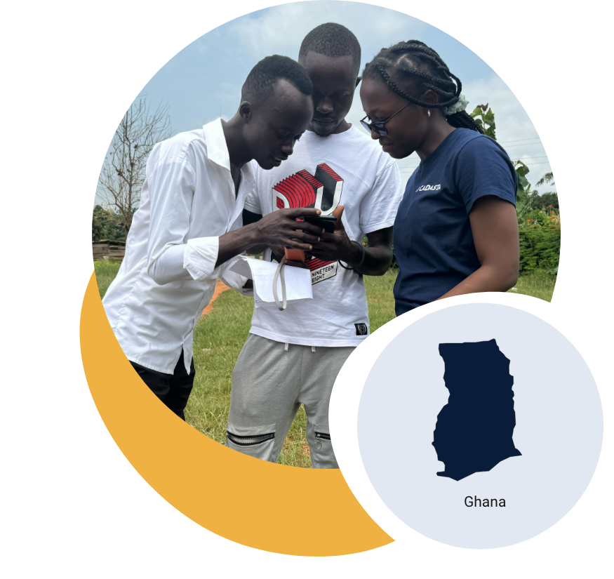
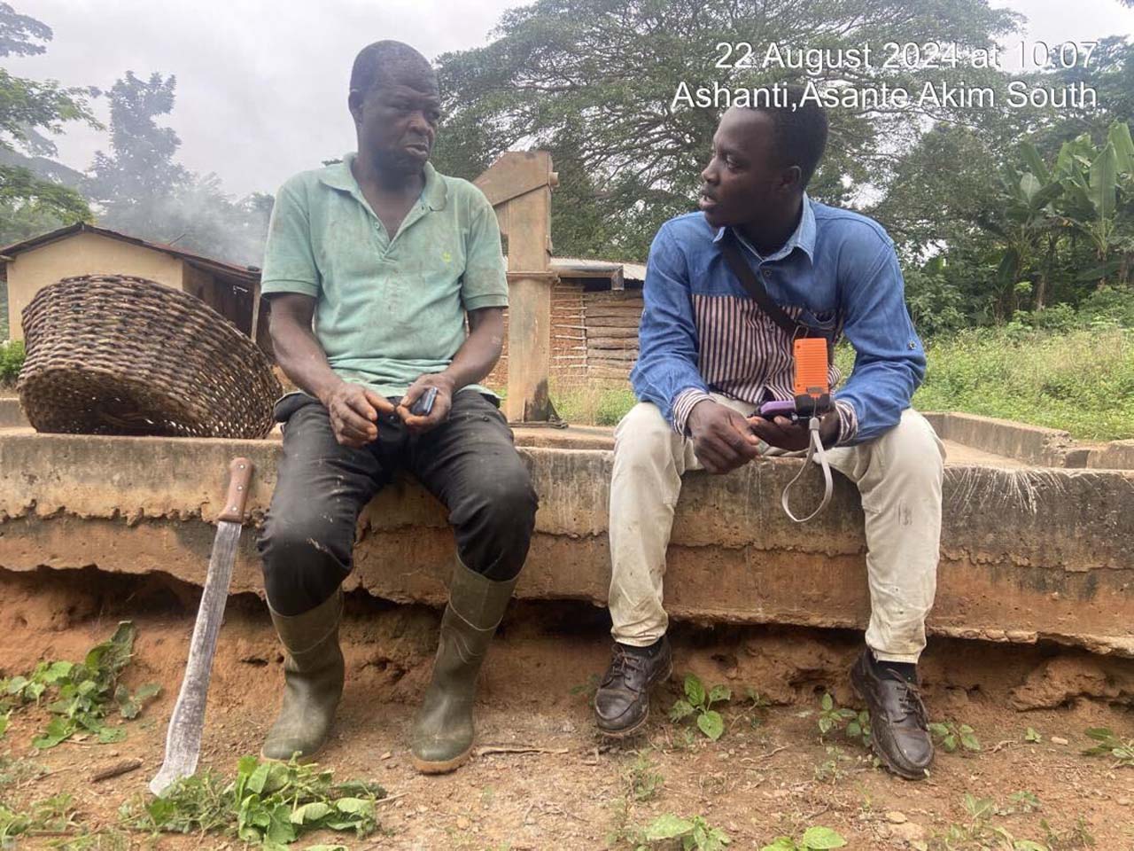
COLANDEF is combining traditional knowledge and GIS mapping to document land parcels and train community members, strengthening land rights and sustainable farming in Obogu.
In Ghana’s forest-fringe Obogu Traditional Area, the Community Land Development Foundation (COLANDEF) is strengthening land tenure security for smallholder farmers. With digital tools and training provided through Cadasta’s Land for Climate and Forest Rights Program, COLANDEF has mapped 657 land parcels, benefiting 553 households. This locally led initiative equips traditional authorities, community data collectors, and Customary Land Secretariat staff with skills to manage and protect land records. By blending geospatial technology with customary practices, the project safeguards households against land grabs, supports sustainable agriculture, and builds resilience to climate threats.

Photos from the Field

Testimonials