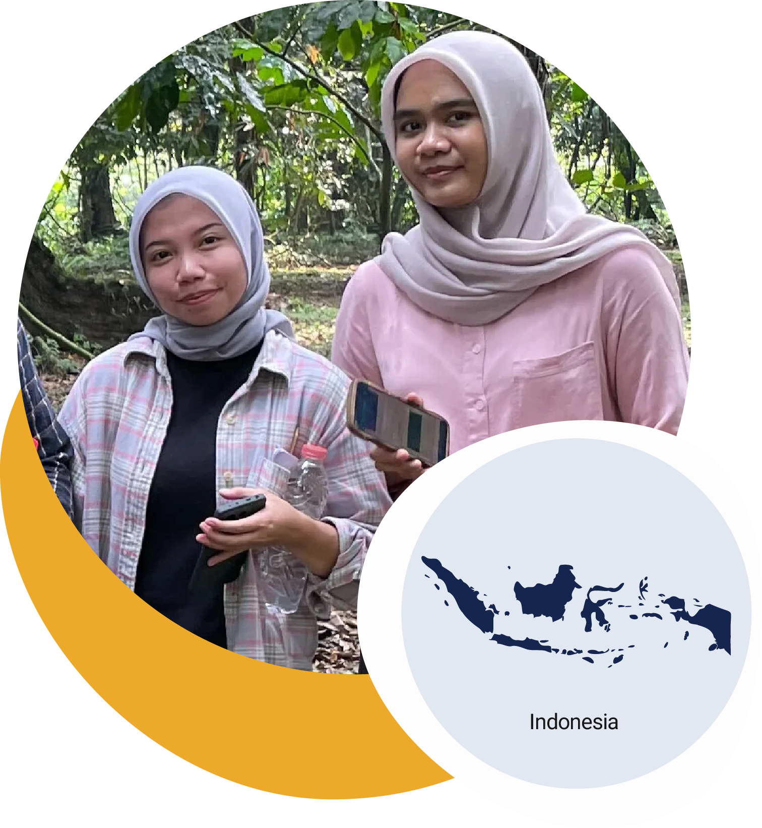
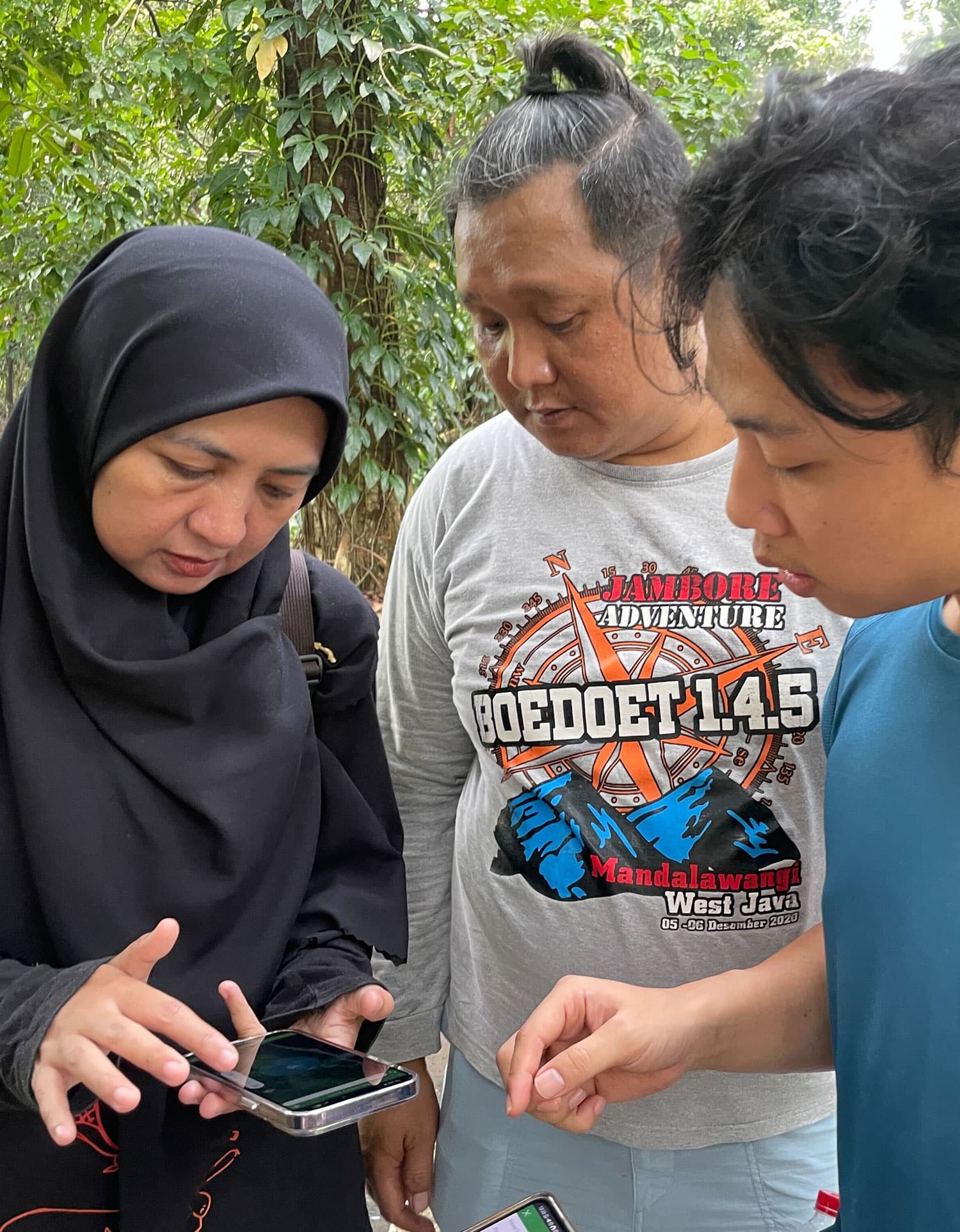
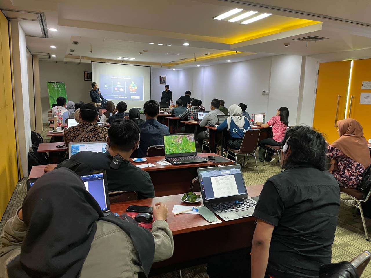
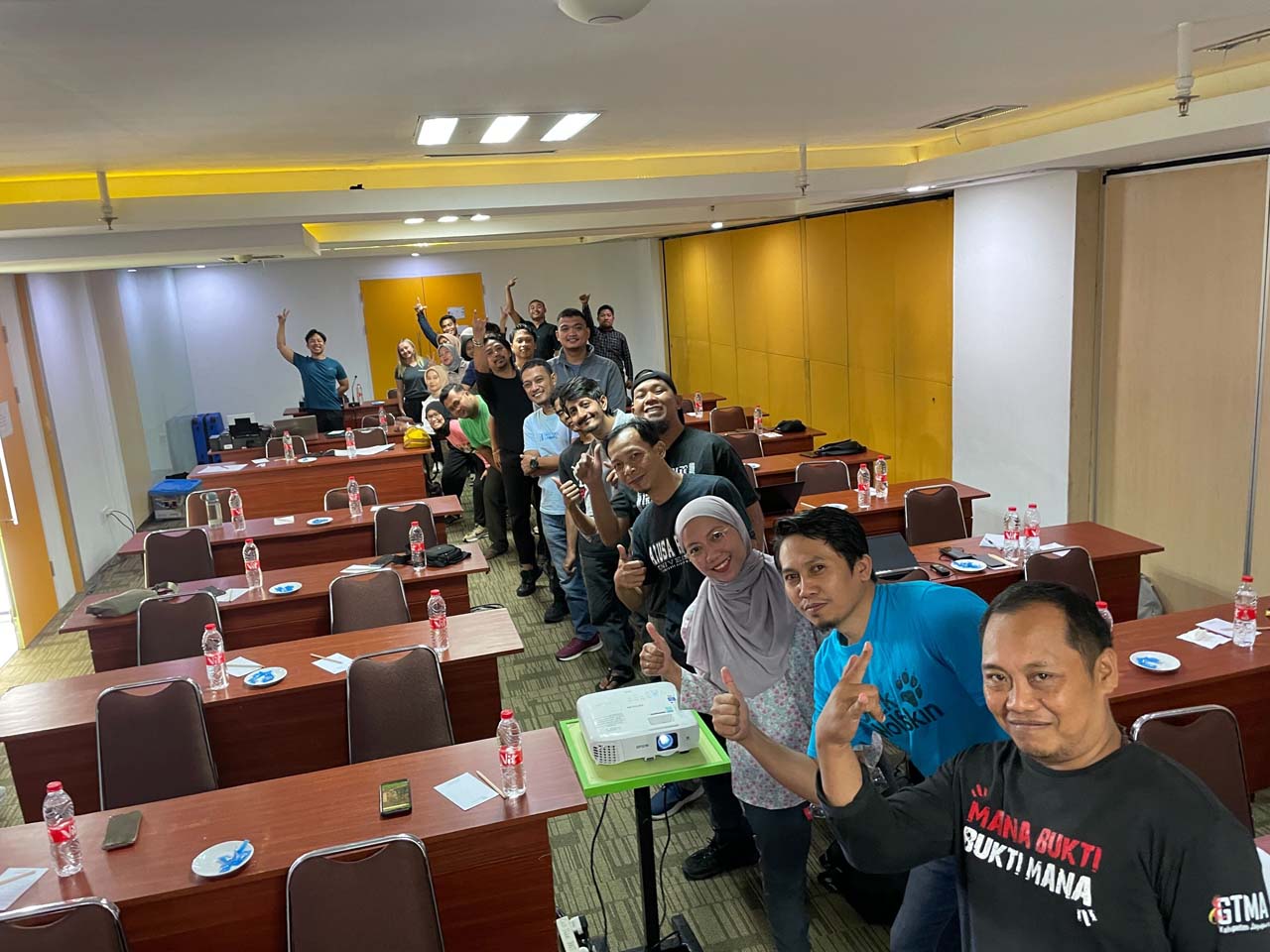
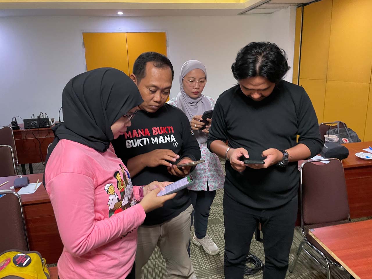
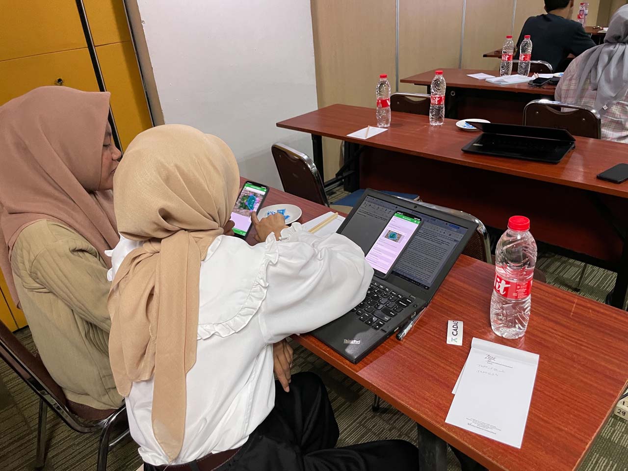
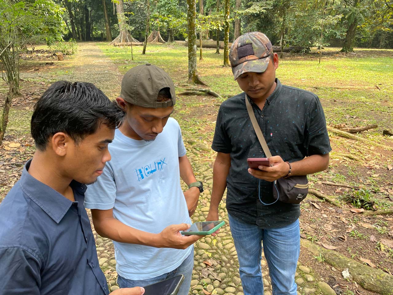
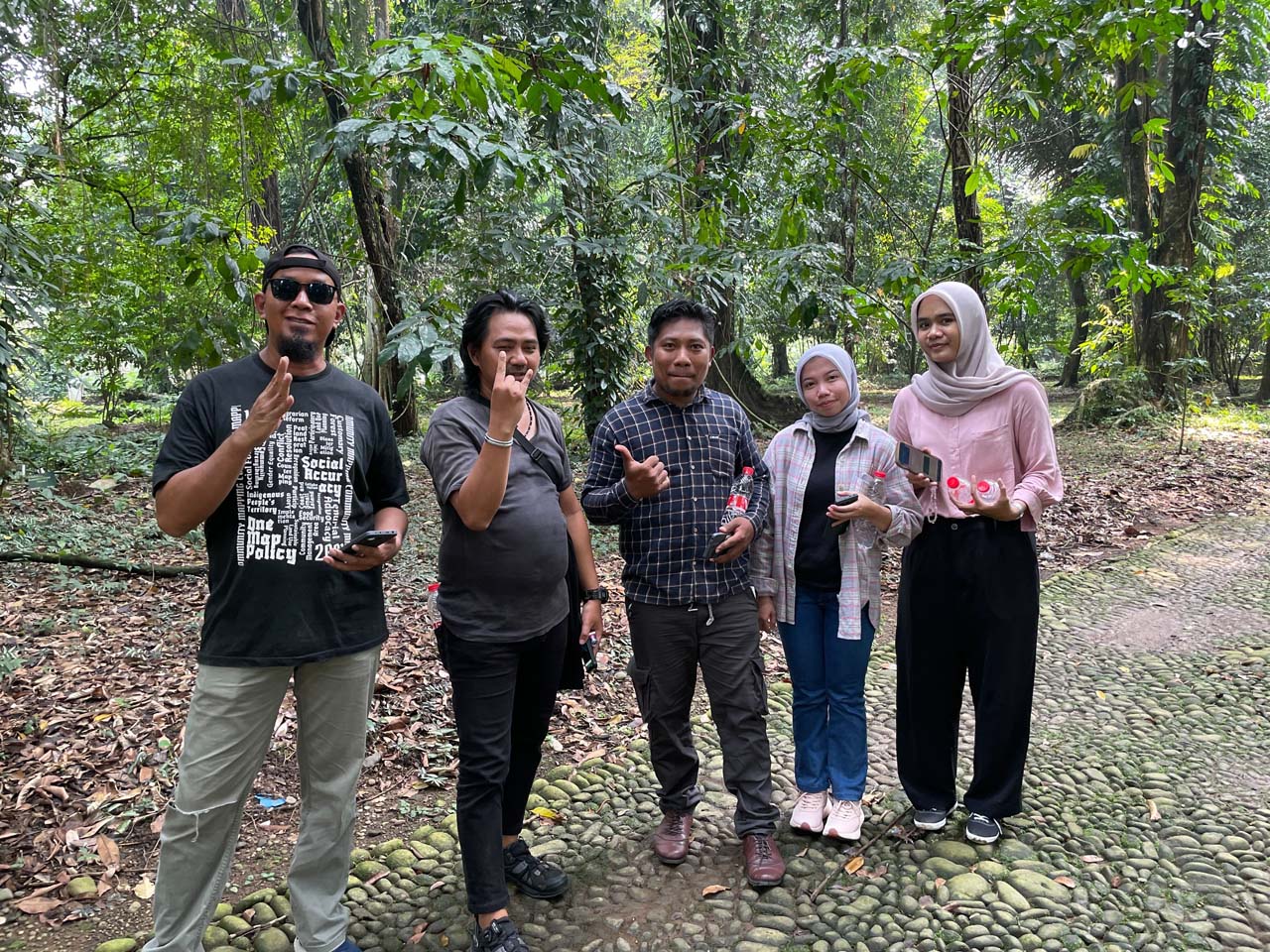
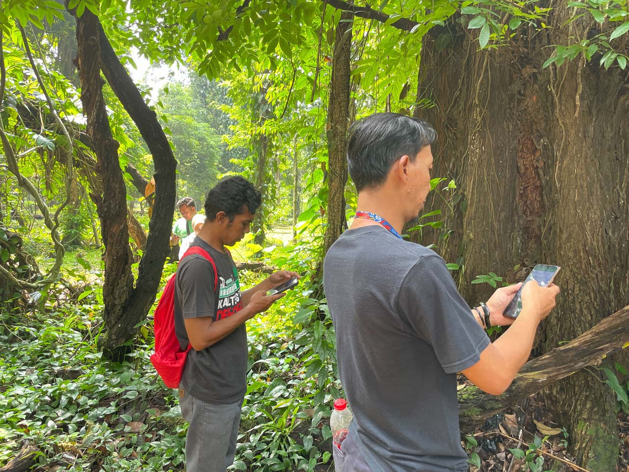
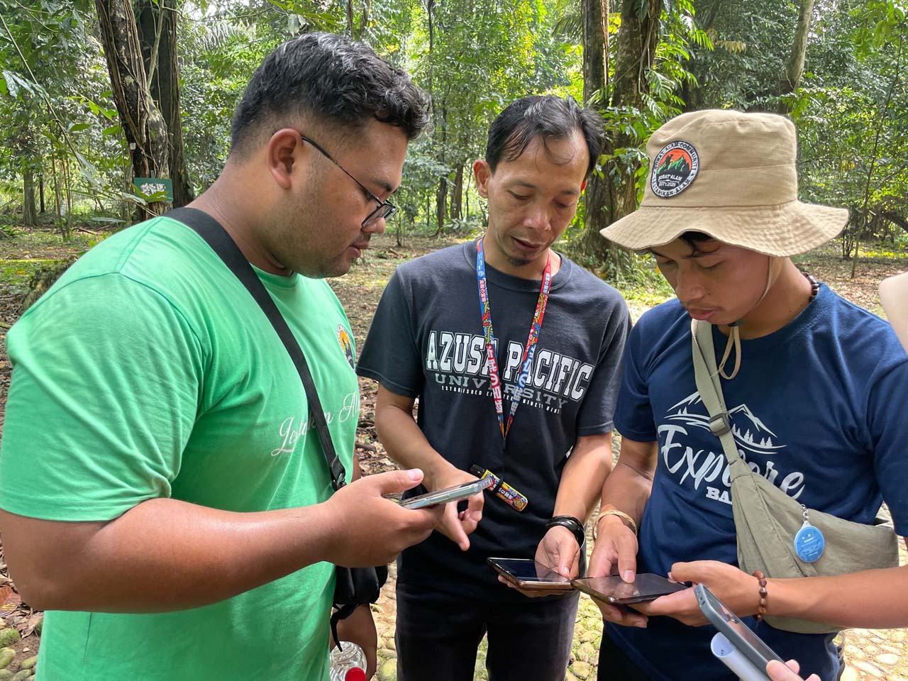
Since 2024, Cadasta has partnered with JKPP, Indonesia’s participatory mapping network, to support Indigenous youth in Ngata Tompu and Kasepuhan Jamrut. Through participatory land-use planning and mobile GIS technology, 28 young people are documenting ancestral lands, sacred sites, and forest use—data that is critical for securing customary forest rights.
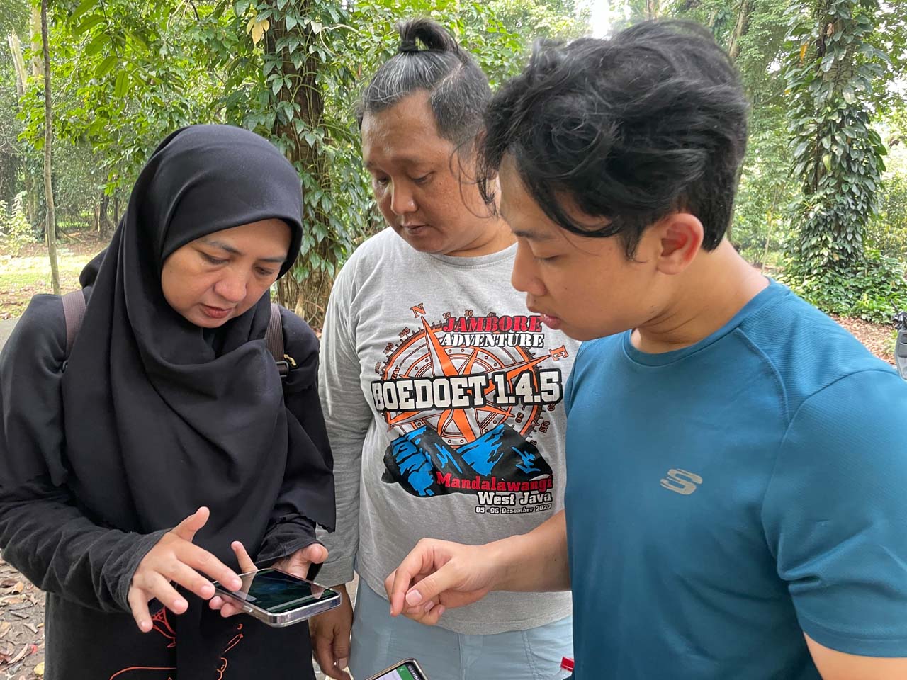
The initiative builds long-term leadership through the youth-led KAWAL forum and peer-to-peer learning, expanding skills and awareness across Indigenous territories. To date, youth participants have mapped over 8,200 hectares with Cadasta’s technical support, strengthening both legal recognition and intergenerational stewardship of community lands.