


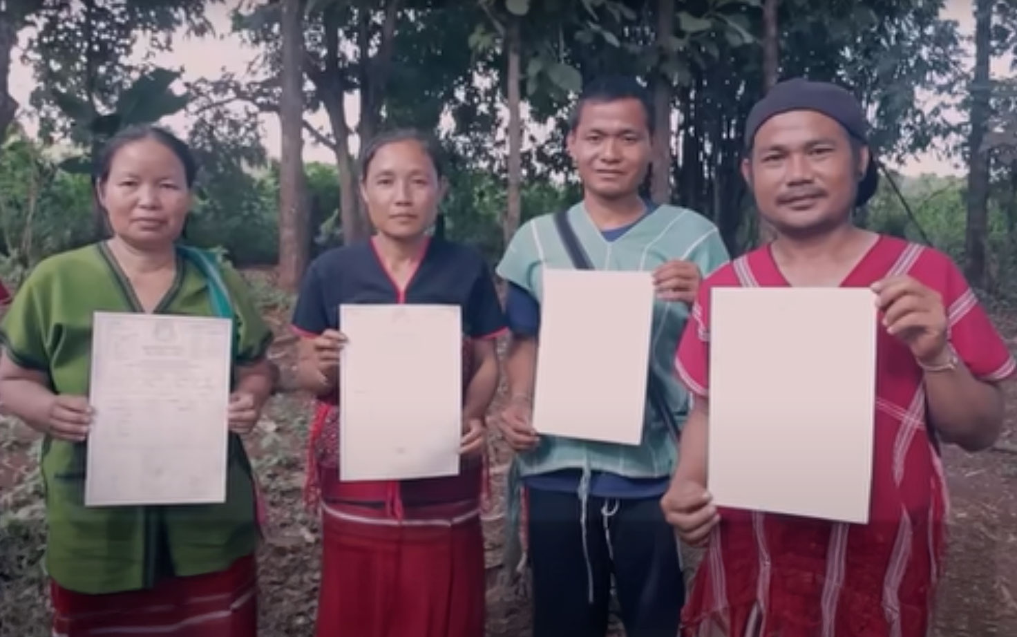
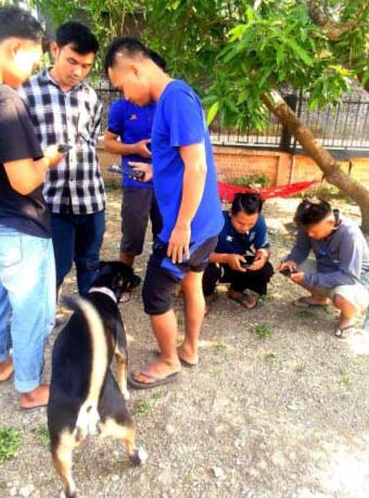
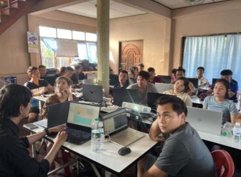
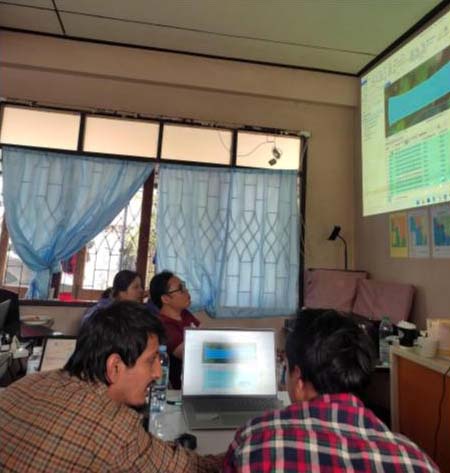
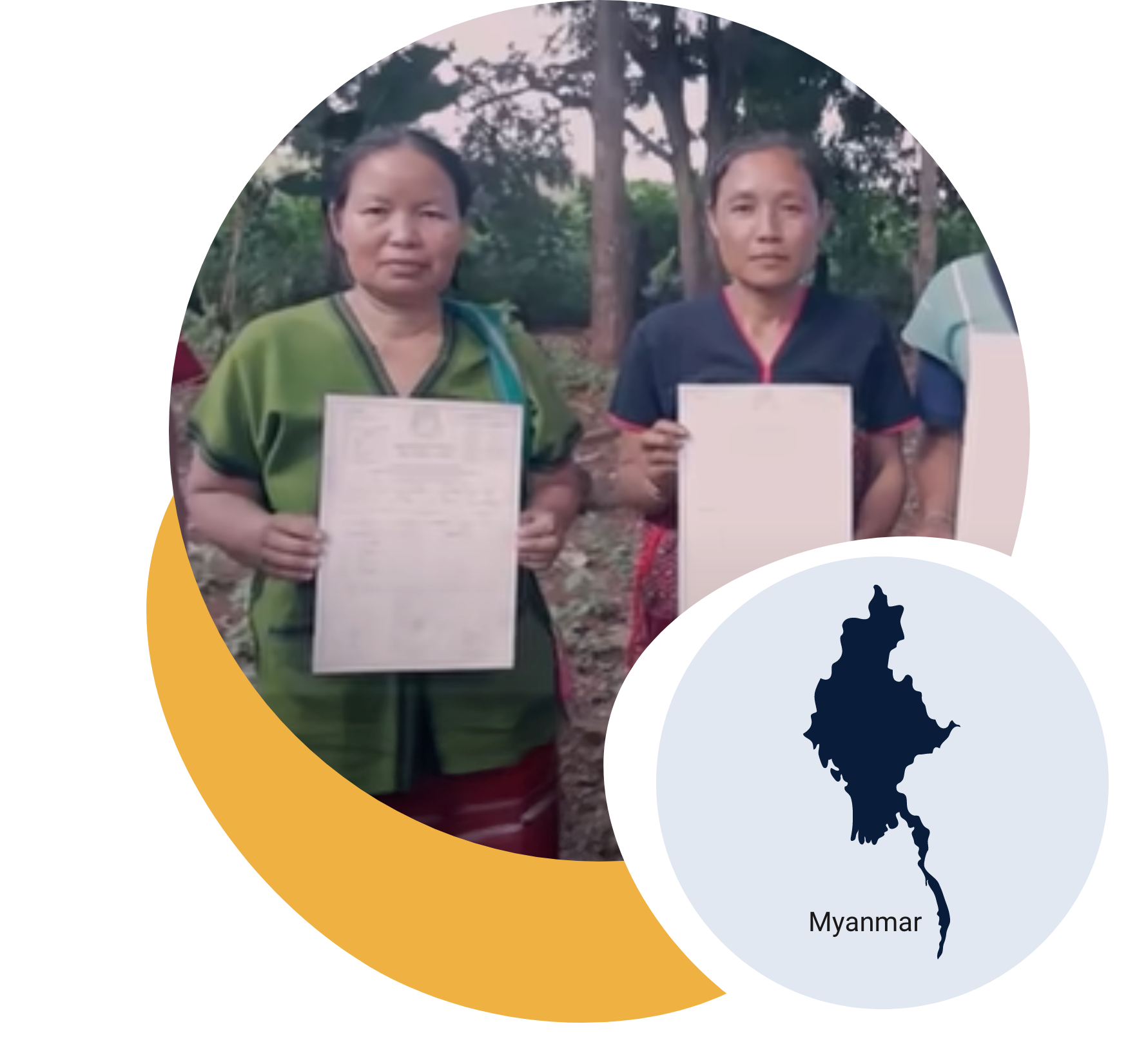
KESAN is leading Indigenous mapping in Southeast Myanmar, documenting 3.5M hectares and issuing 107K land titles to strengthen Karen rights and biodiversity protection.


KESAN is leading Indigenous mapping in Southeast Myanmar, documenting 3.5M hectares and issuing 107K land titles to strengthen Karen rights and biodiversity protection.
A proud member of the Corus International family.