Landesa and Rwanda National Land Authority (NLA)

Improving Land Security for Rwandan Farmers
Location
Funded By
Kirehe, Kayonza, and Nyagatare Districts, Rwanda
Co-Impact
Project Timeline
Project Area
October 2024 – July 2026
Land Tenure and Agriculture

Project with Cadasta

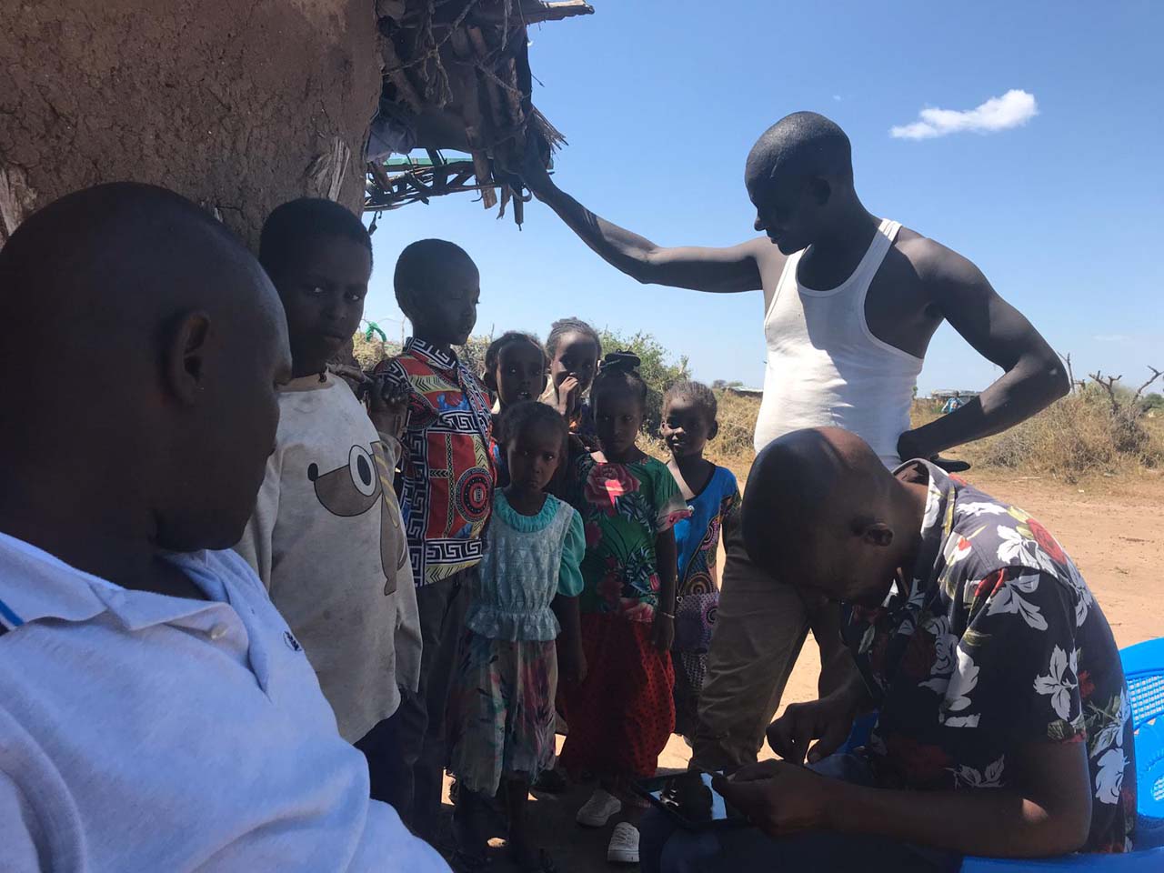
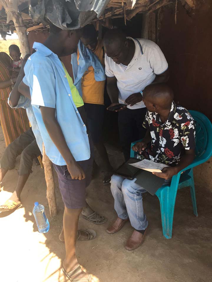
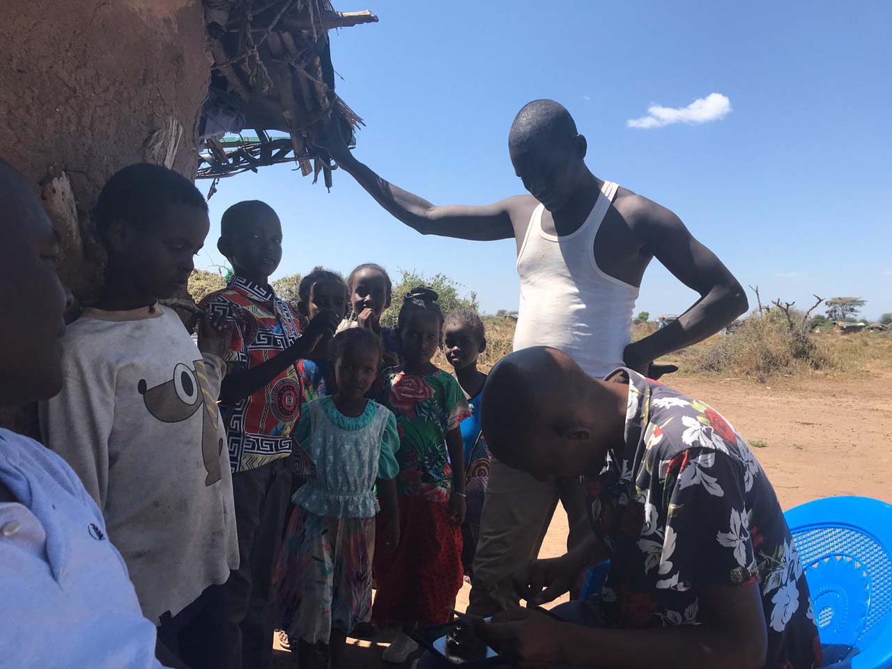
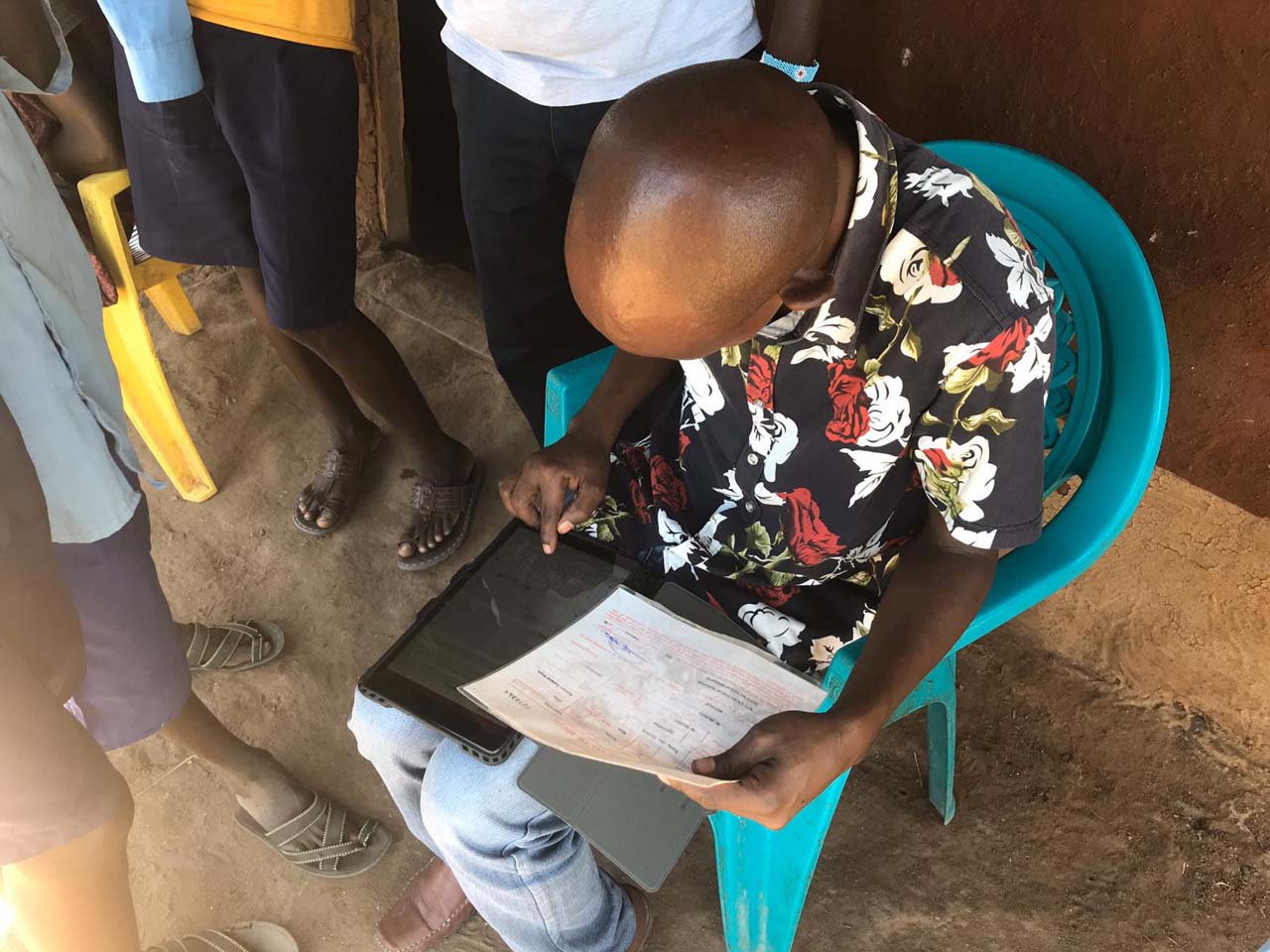
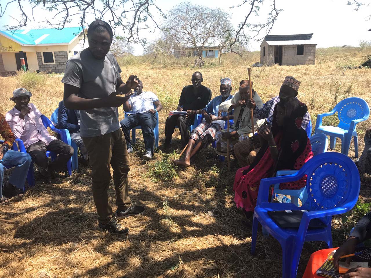
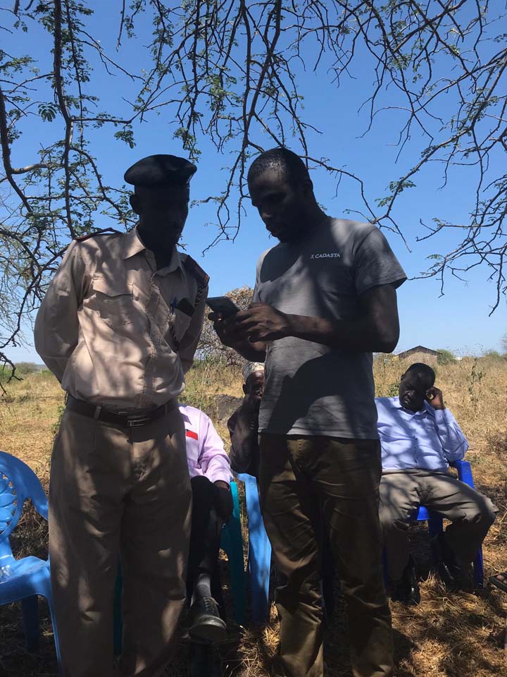
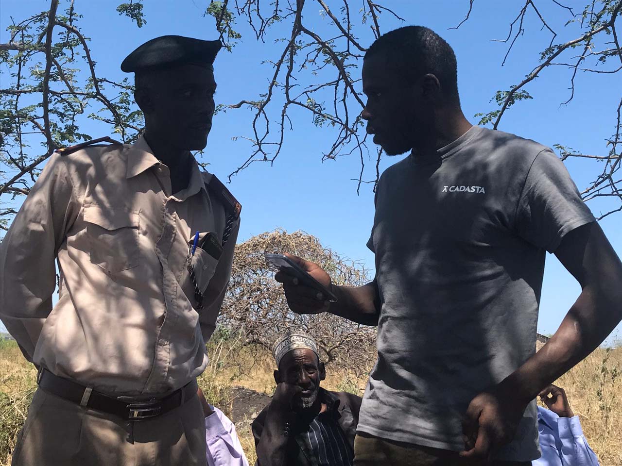
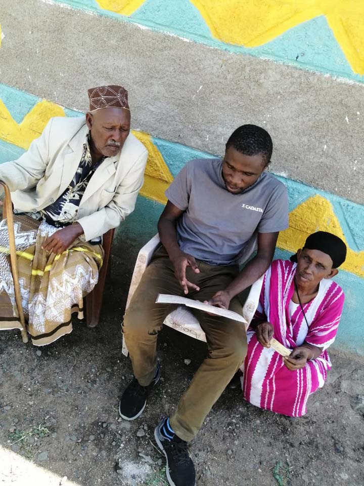
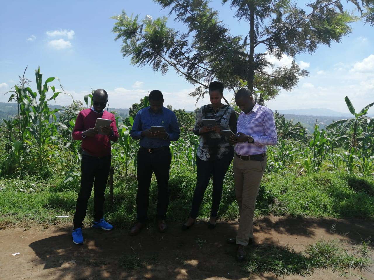
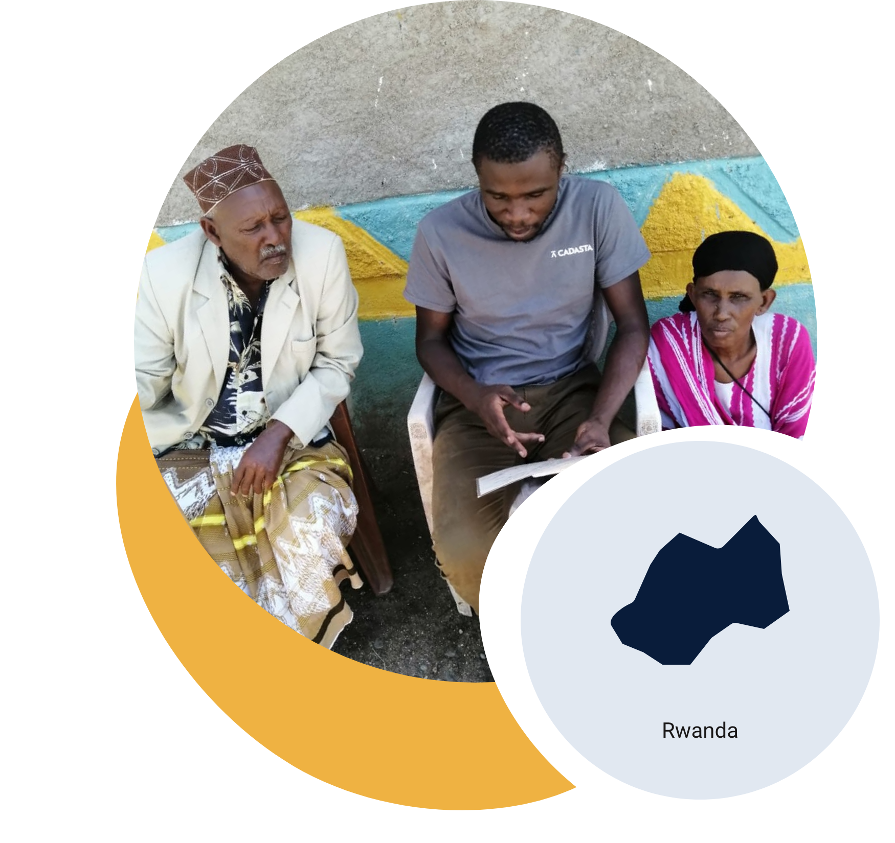
Landesa and Rwanda’s NLA are strengthening land records for smallholder farmers by correcting boundaries and issuing new e-titles with Cadasta’s technical support.
In Rwanda’s Eastern Province, Landesa and the Rwanda National Land Authority (NLA) are working to strengthen land security for smallholder farmers through the Agricultural Systems Change Initiative, funded by Co-Impact. The initiative builds on Rwanda’s Land Tenure Regularization program by correcting parcel boundary data and updating missing ownership records. With Cadasta’s geospatial tools and training, young graduates are conducting high-precision, real-time data collection using GNSS tablets and Esri technology. By 2026, the program will correct 43,400 parcels and update 32,553 ownership records, issuing secure e-titles to farmers. Early results in Kirehe District include nearly 20,000 e-titles issued and over 23,000 households benefiting through first-time registrations and boundary corrections. These improvements expand access to agricultural credit, inputs, and legal protections, advancing both livelihoods and land governance in Rwanda.

Photos from the Field

Testimonials