


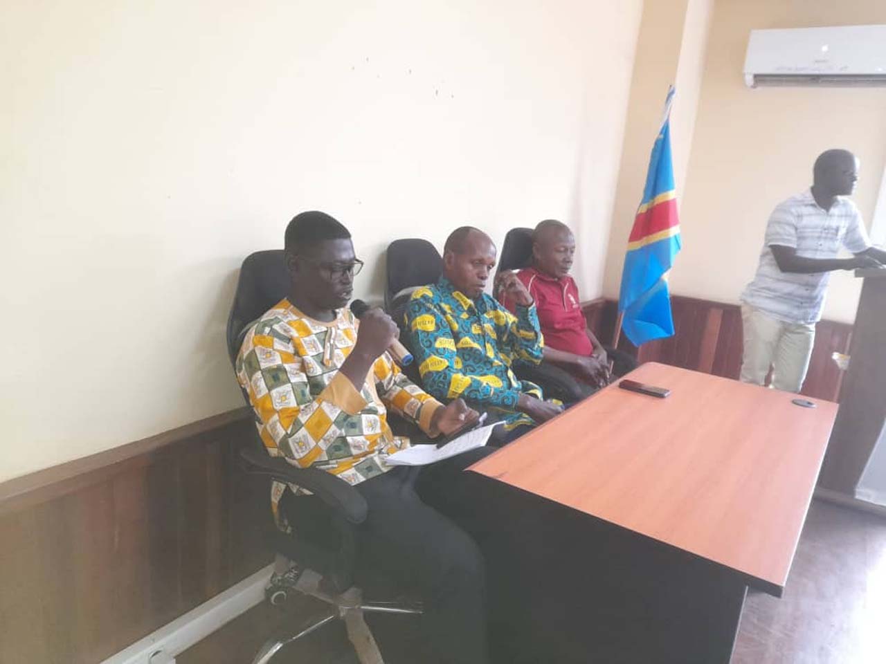
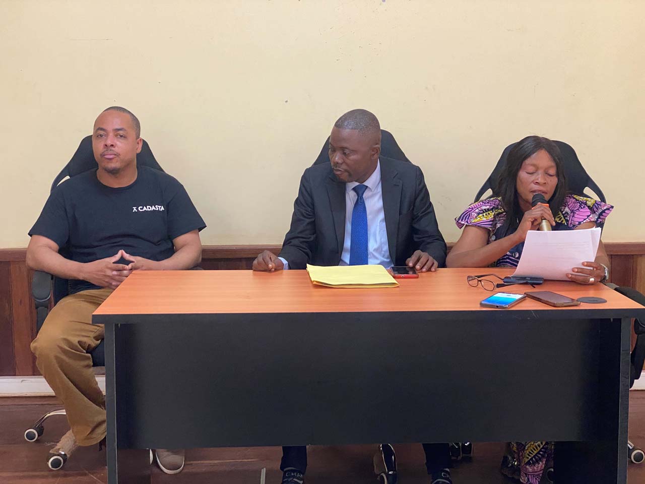
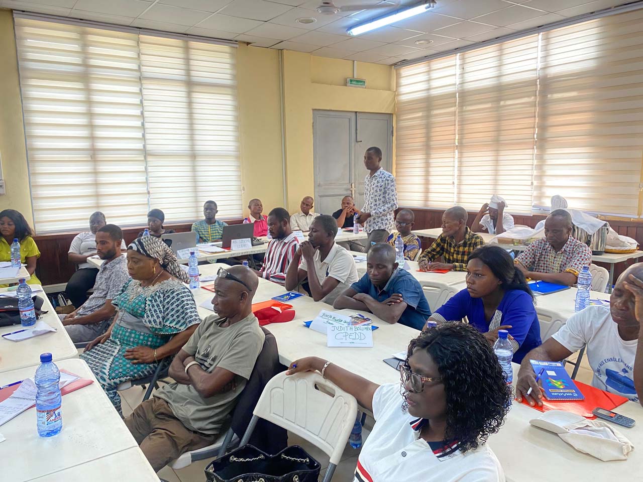
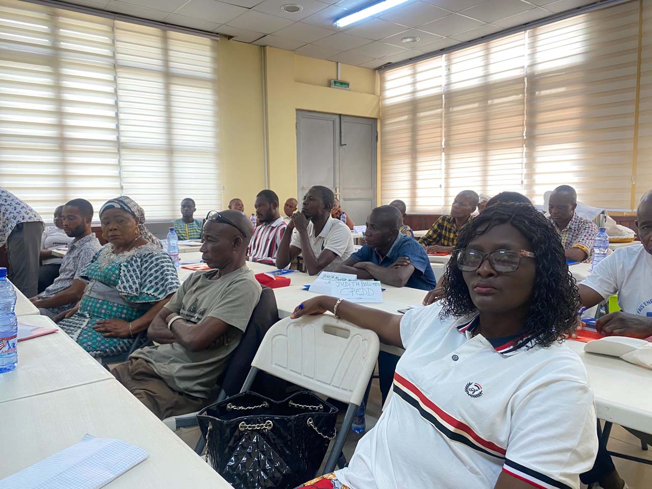
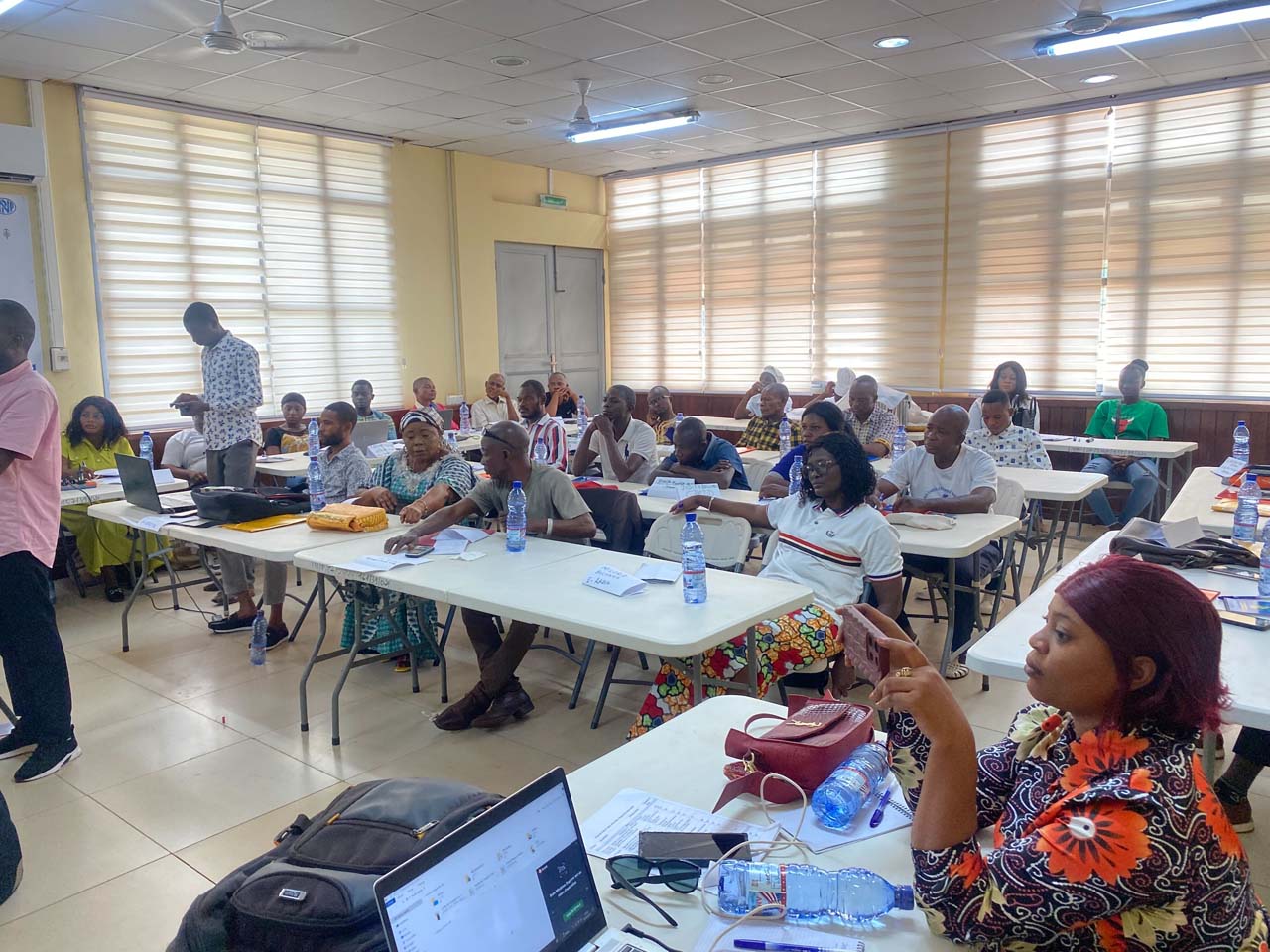
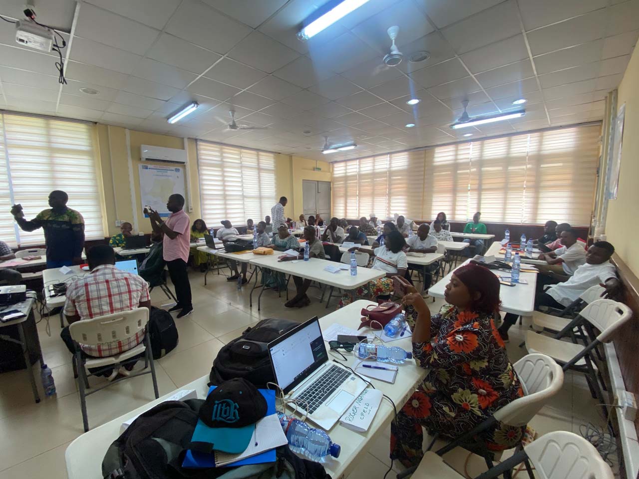
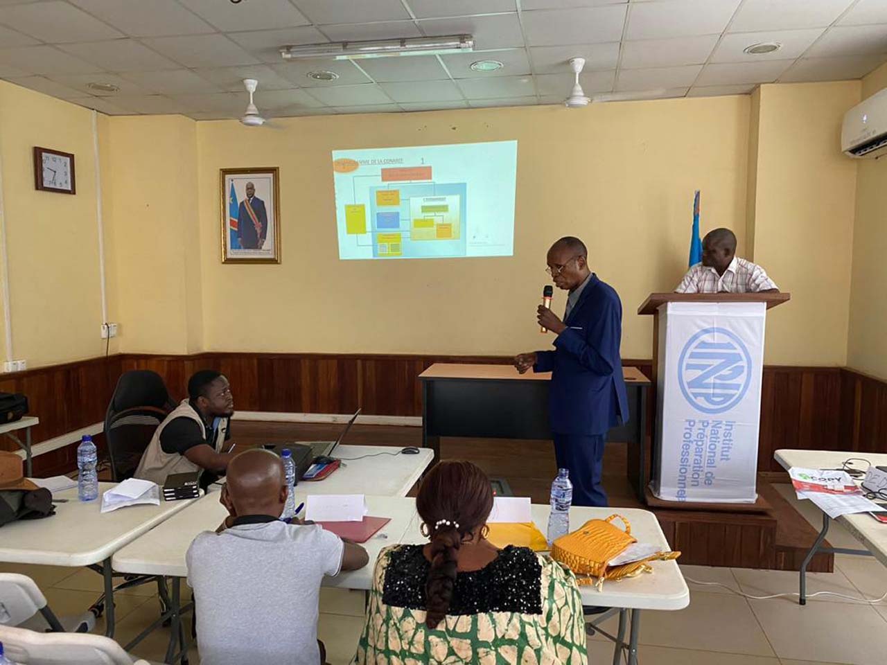
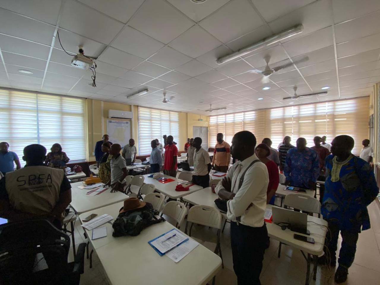
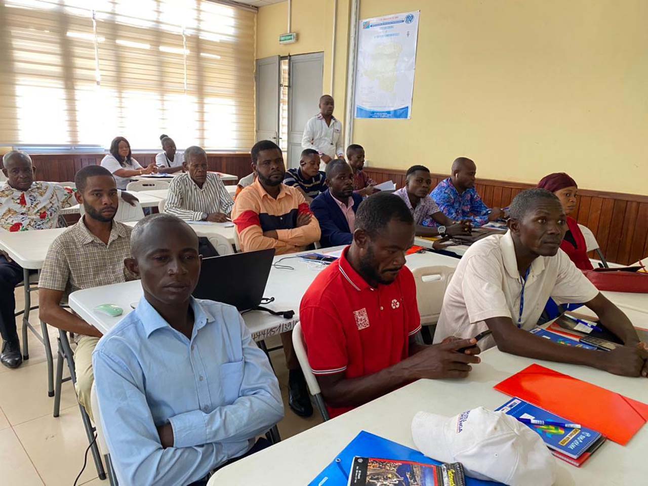
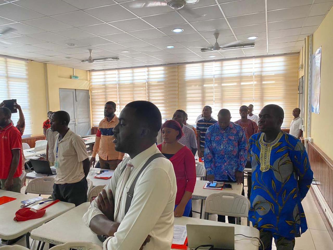
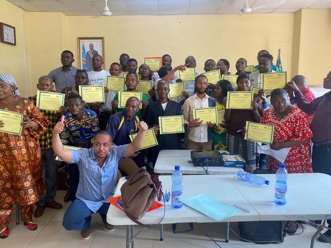
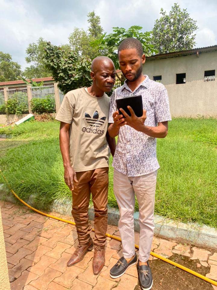
SPFA and Cadasta are mapping in the DRC to secure customary rights, resolve conflicts, and strengthen climate resilience.

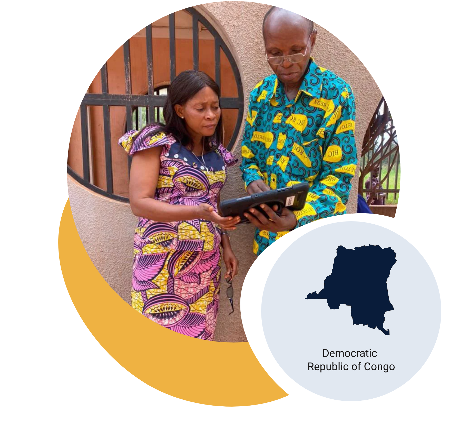

SPFA and Cadasta are mapping in the DRC to secure customary rights, resolve conflicts, and strengthen climate resilience.
A proud member of the Corus International family.