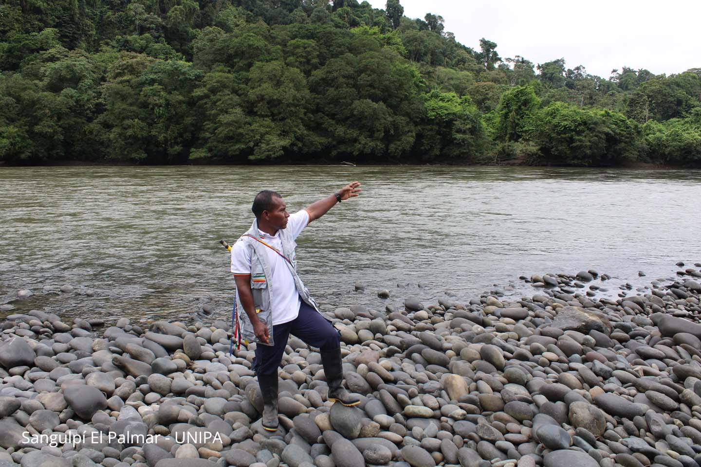
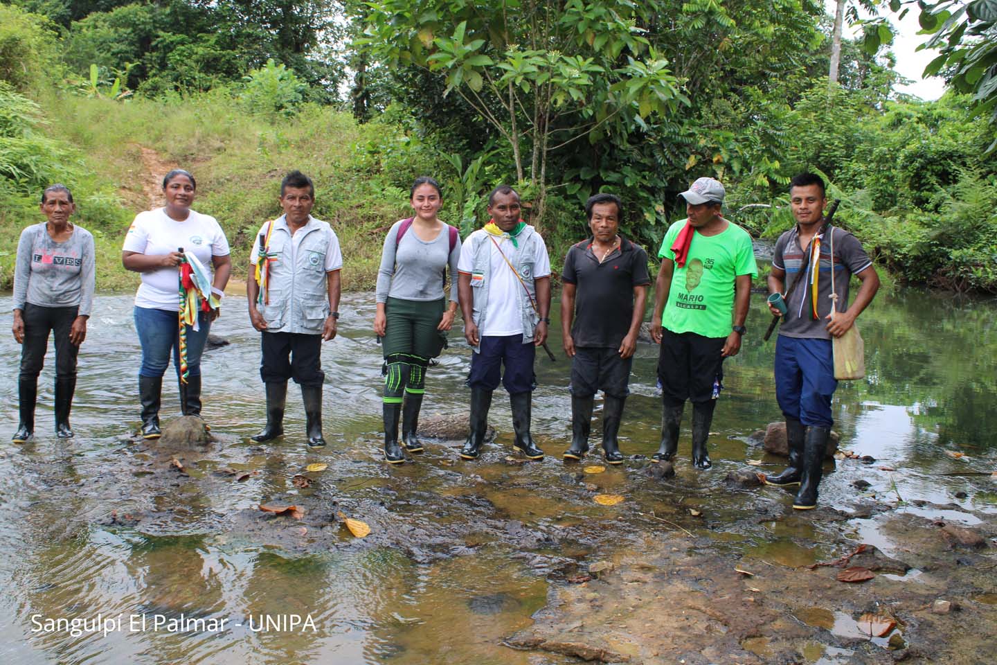
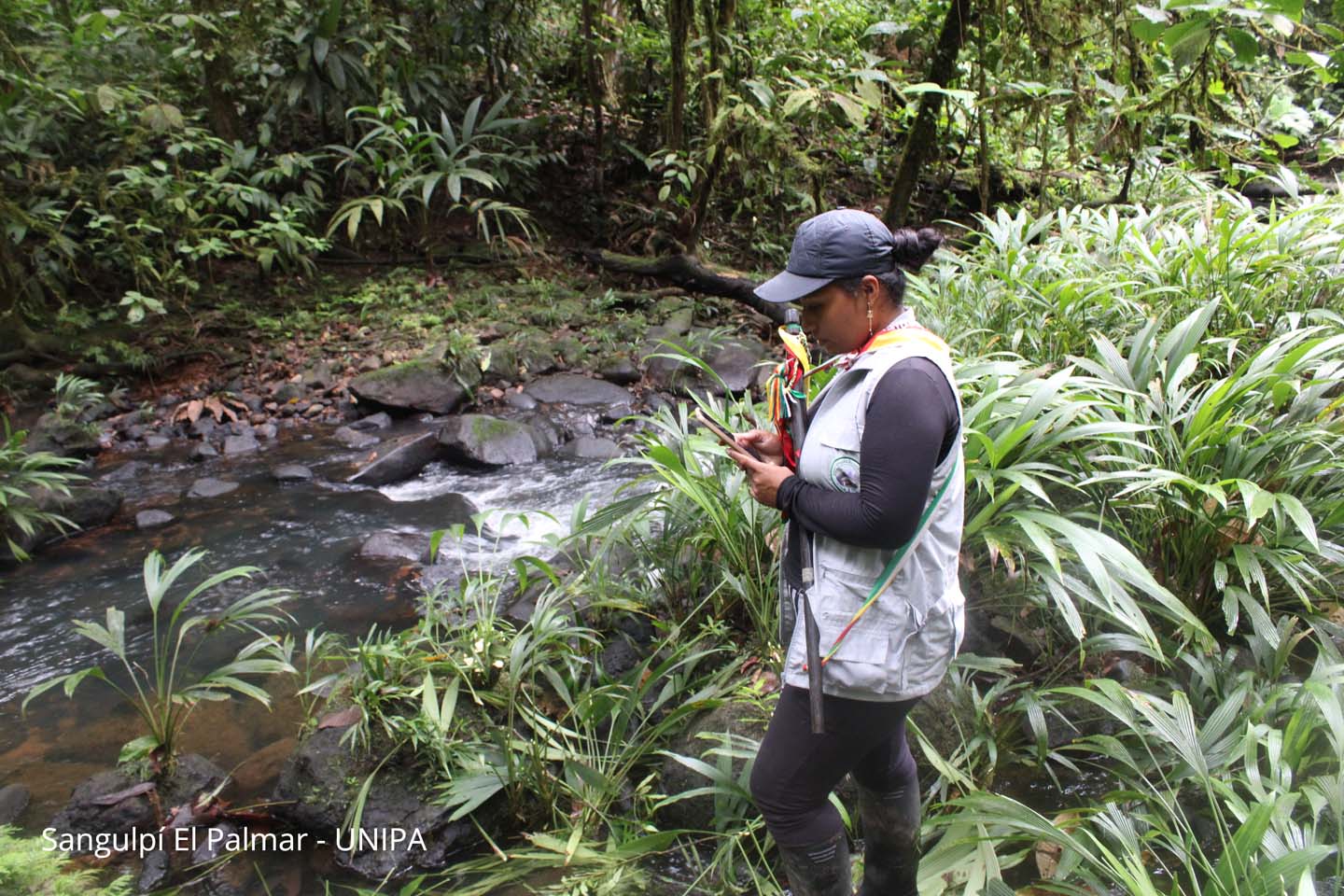
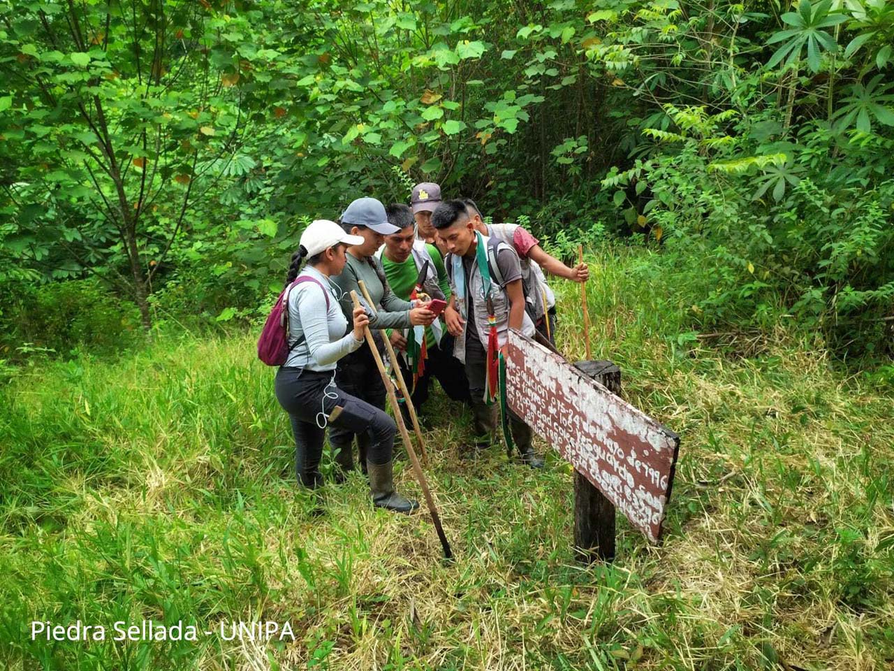
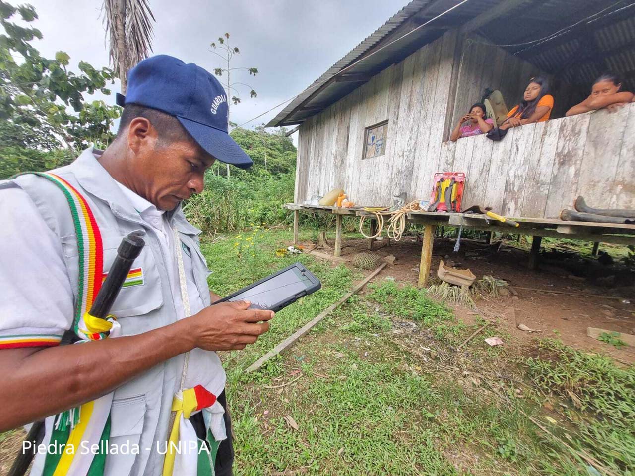
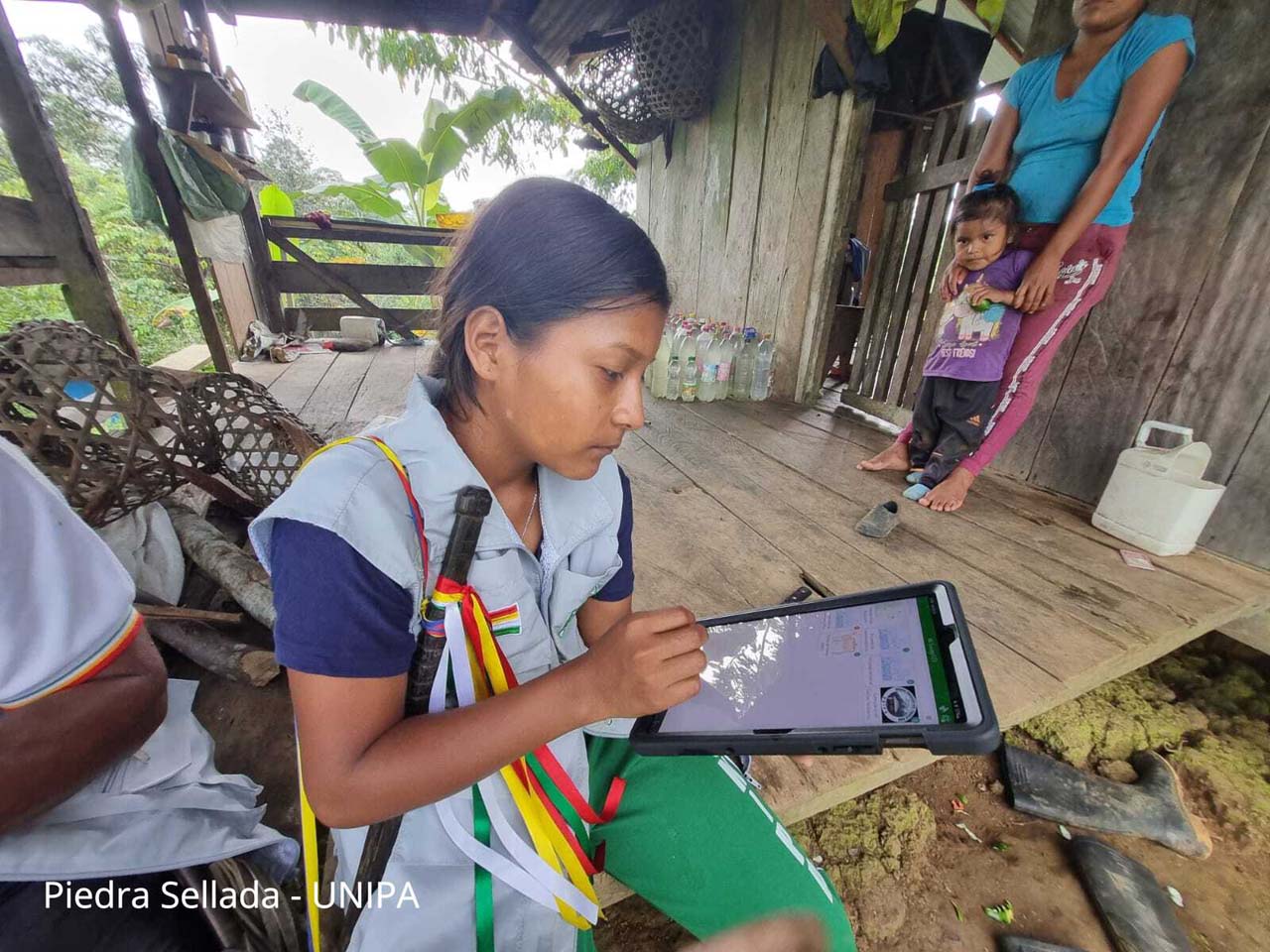
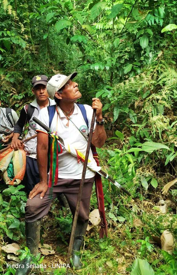
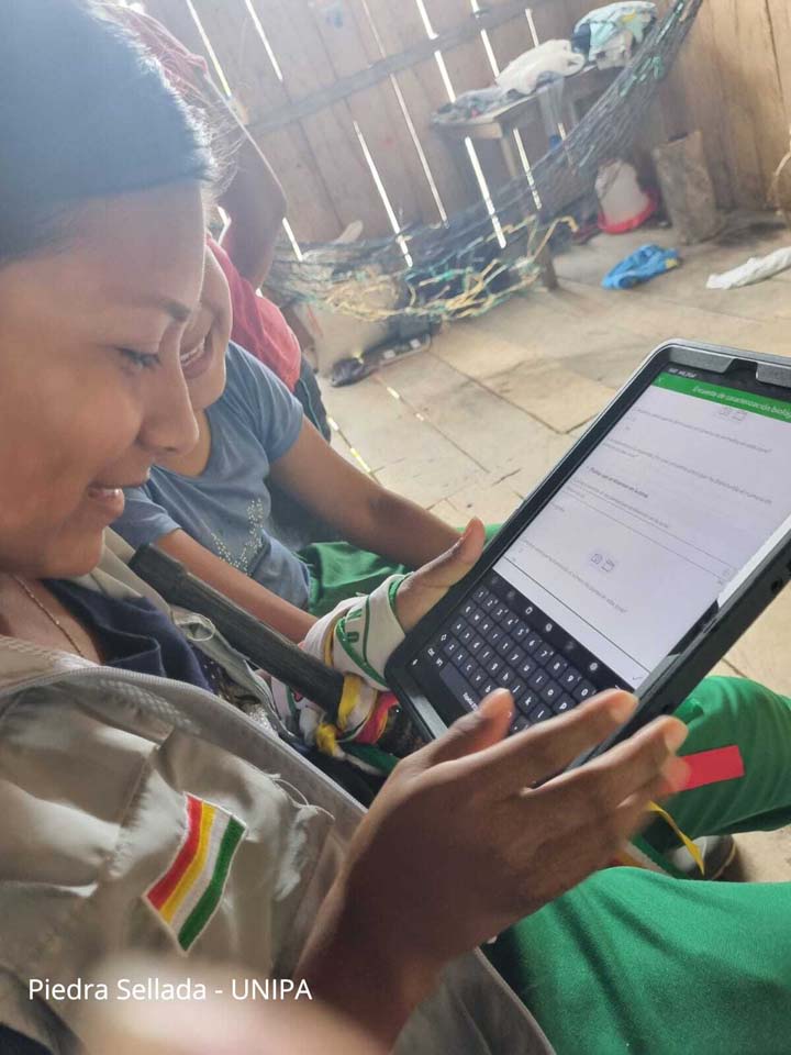
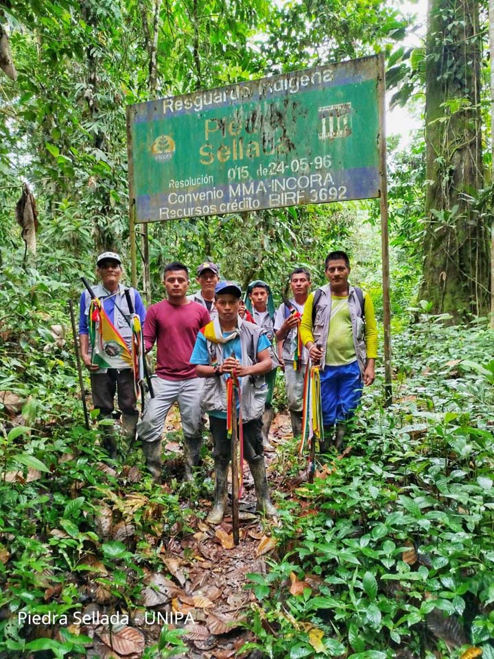
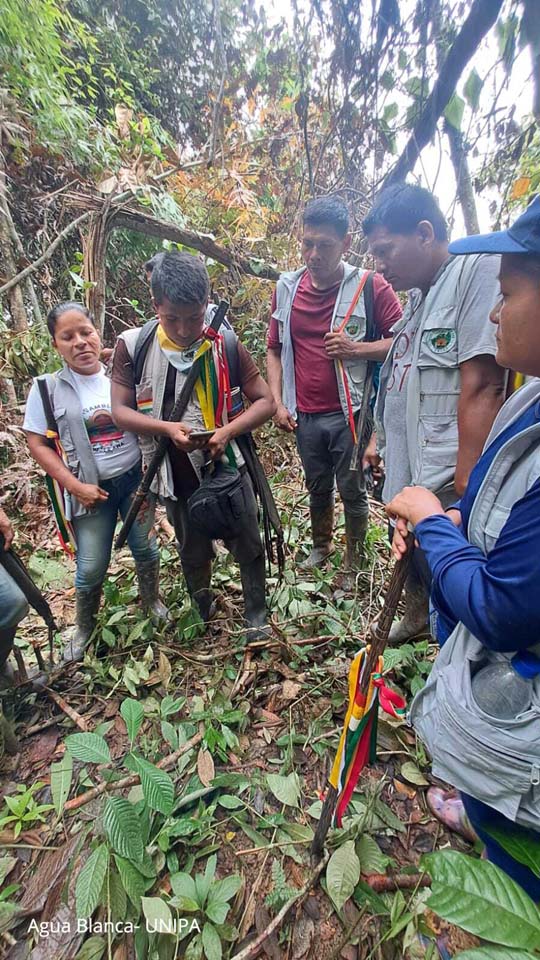
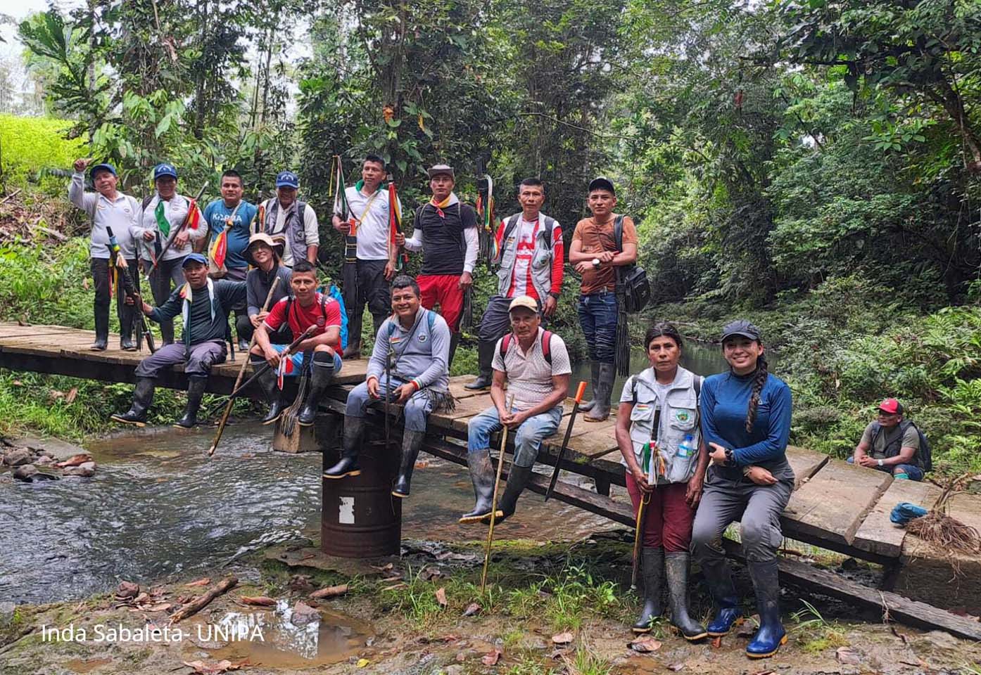
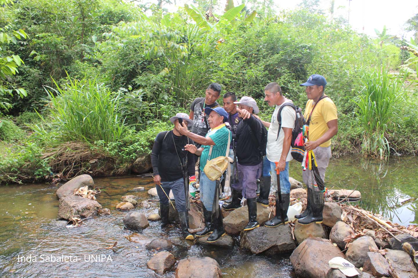
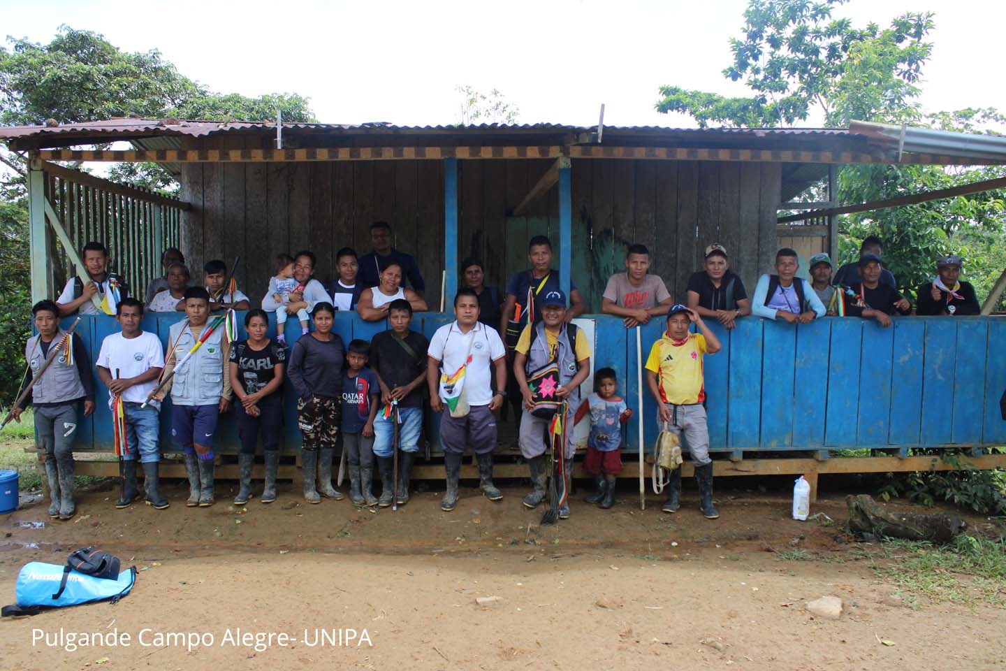
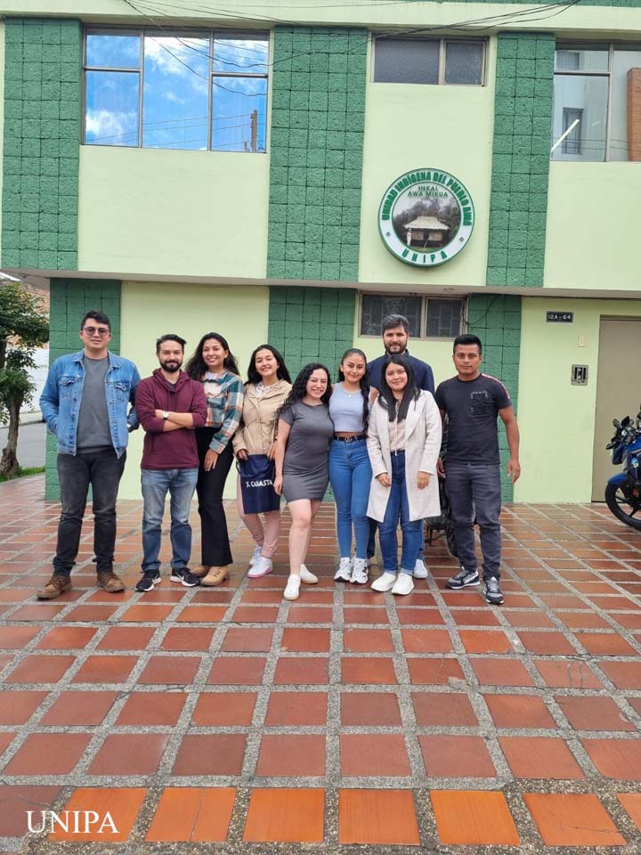
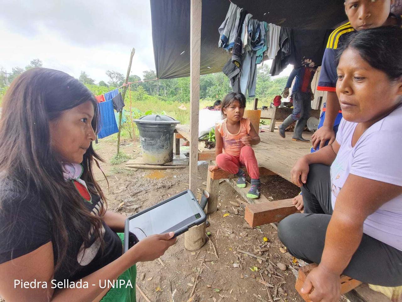
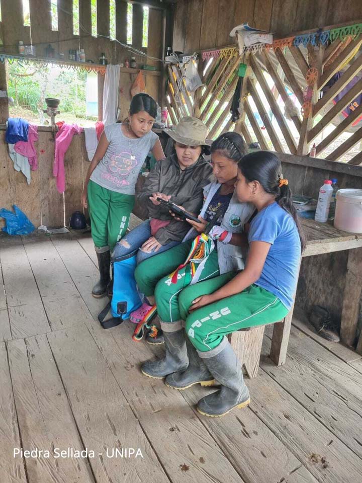
Awá women are using GIS tools to map ancestral lands, protect forests, and strengthen territorial governance with Cadasta’s training and support.
In Colombia’s Andean-Amazonian foothills, the Awá people face mounting threats from illegal encroachment on their ancestral forests. Through the Land for Climate and Forest Rights Program, UNIPA and Cadasta are working together to document Awá territories and secure recognition of their rights.
Central to this effort are Awá women, who lead project coordination, GIS fieldwork, community training, and advocacy. To date, 95 women have used mobile tools like Survey123 and Field Maps to collect territorial data, blending ancestral knowledge with digital mapping. Their leadership has strengthened community decision-making, prioritized key areas for land expansion, and reinforced the Awá’s long-term resilience.
This initiative demonstrates how locally-led, technology-enabled solutions—anchored in women’s leadership—can protect forests, advance equity, and build sustainable land governance systems.