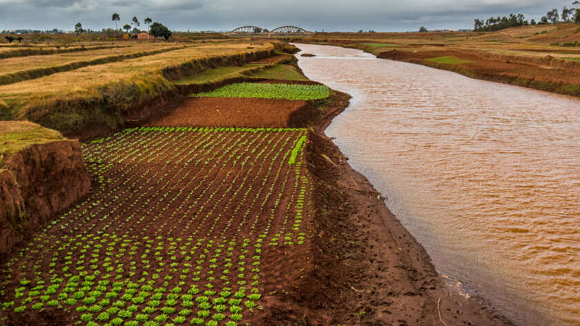
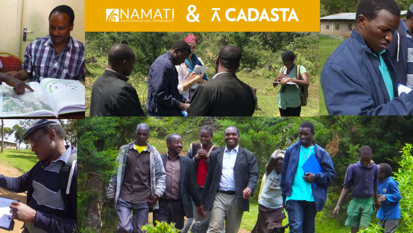
Documenting Your Rights Just Got Easier!

Today is an exciting one for us here at Cadasta, as we launch a new version of our technology that has been months in the making. A key tenet of our mission is for our technology stack and solution set to make significant contributions toward practical application of the “fit-for-purpose” concepts as they apply to…

Read More

Documenting Property Rights in Post Conflict Kosovo

Cadasta recently commenced a pilot project collaboration with the Kosovo Cadastral Agency (KCA) on adapting our technology driven solutions to improve efficiency within the registry and cadastral operations of Kosovo for field documentation of property rights claims. The pilot focused on the village of Krusha e Madhe , a community which suffered tremendously during…

Read More

Assessing the risks of opening property rights data

Throughout 2016, Cadasta Foundation, in partnership with Open Knowledge International , is exploring land data with the ultimate aim of defining open data in property rights. This is an excerpt of the third in a series of pieces that documents this process. Find out more on the Open Data initiative. As is evident…

Read More

An Overview of Property Rights Data

Cadasta Foundation, in partnership with Open Knowledge International , is exploring land data with the ultimate aim of defining open data in land and resource rights for the Global Open Data Index and the wider land sector. For more information on the project, check out our open data page  and previous…

Read More

How To Build A Credit History For A Startup Non Profit

A new nonprofit organization has few options when it comes to establishing a credit history. Since nonprofits do not have shareholders or owners who can personally guarantee a company’s credit card or line of credit, and the directors of the board are not willing to provide personal guarantees, the organizations have to rely on their…

Read More

CKAN Release

In early February we shared our initial release of the Cadasta Platform, developed by our contractor, SpatialDev. The main function of the initial release was to allow for some testing of functionality and  to provide partners and other interested parties something they could react to and provide feedback on. During that time we have gotten…

Read More

My Time as Cadasta’s Outreachy Intern

Outreachy is a program dedicated to getting underrepresented members of the tech community involved in open source software through paid internships with partner companies. Much to my excitement (and surprise) I was accepted as Cadasta’s Outreachy intern for the winter 2015-2016 session. I had been teaching myself to code for less than a year…

Read More

Namati and Cadasta Collaborate to Document Community Land Rights

A key priority for Cadasta Foundation following our launch in early 2015 was to identify long term organizational partners that have a track record of delivering impactful work with beneficiaries in strengthening their land and resource rights. In addition to being aligned to our overall mission, this real world experience really underpins our user-centric design…

Read More

Surveying potential challenges and impacts of open land data

Early this year, Cadasta Foundation and Open Knowledge announced a joint-initiative to explore open land data. Through sponsoring a fellowship, Cadasta and Open Knowledge aim to build consensus on the definition of open data in land for the Global Open Data Index , identify key land datasets, and expand the network of…

Read More

Redesigning Field Papers’ User Interface

Written by:  Lindsay Jacks  For the past three months, I've been working with Cadasta and Stamen on the atlas creation pages of the Field Papers map annotation tool. The end result is now live on the Field Papers website. We took the four step “wizard” process for creating an atlas, combined it all into a…

Read More