A proud member of the

Corus International family.

Screenshot 2026 03 31 at 6.57.27 PM

Participatory Mapping as an Impartial Intermediary

By Cadasta Staff Typical conflict resolution strategies often require a mediator.  For Indigenous land-related conflicts and boundary validations, participatory mapping and technology can serve that role. Participatory mapping is a community-led process in which local people lead the creation of maps that combine spatial knowledge and lived experience. It is a locally led process, often…
Read More

India Forest

From Recognition to Resilience: Land Rights and Sustainable Futures in Gujarat’s Forests

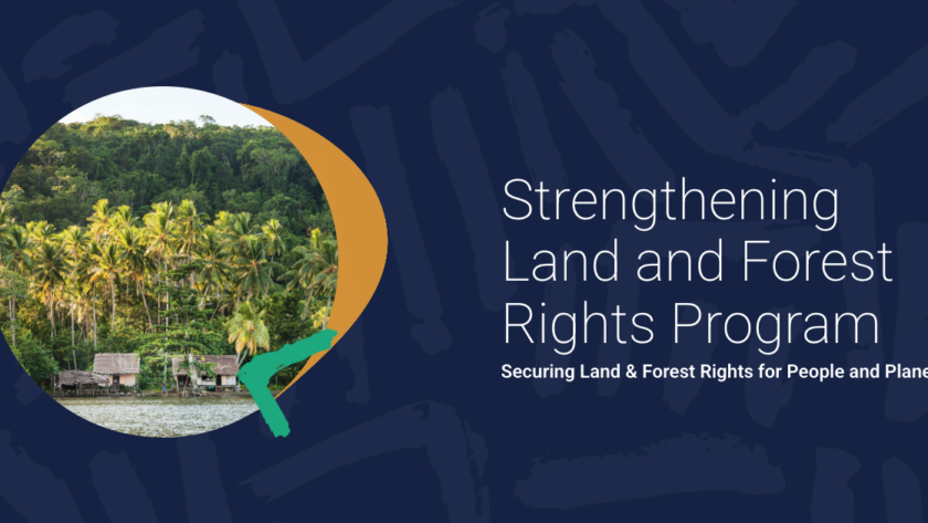
By: Leah Kellenberger Across 12 countries, Cadasta’s Strengthening Land and Forest Rights (SLFR) Program, funded by the UK International Development, from the UK government, is partnering with 13 organizations to advance secure land and forest rights for Indigenous Peoples and local communities. This program aims to secure management or ownership rights for forest-dwelling communities, as…

Read More

Esri Webinar Cover photo PPT

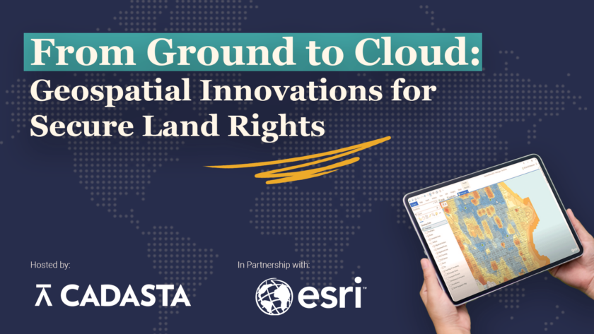
Webinar: Geospatial Tools, Stronger Land Rights: Insights from Cadasta and Esri, Inc.

By Cadasta Staff Around the world, millions of people live and work on land that is not formally documented in systems that governments can easily recognize or use. Community knowledge about land and resource boundaries often exists only in paper maps, hand-drawn sketches, ancestral lore, PDFs, or disconnected spreadsheets, making it difficult to validate claims,…

Read More

Womens month replacement grpahic for Newsletter

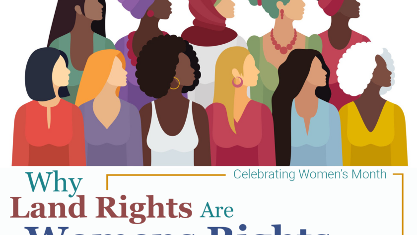
Why Land Rights Are Women’s Rights

Celebrating Women's Month By Cadasta Staff True gender equality is rooted not only in social and political rights, but in something far more fundamental: land. For millions of women around the world, land is the foundation of food security, economic stability, community leadership, and environmental stewardship.  Despite women’s central role in sustaining families and ecosystems,…

Read More

newsletter malawis

Investing in Malawi’s Future: Sustainable Financing Recommendations for Land Services

In recent years, the Malawi Ministry of Lands has been making big strides in improving land governance. Improvements include passing the 2016 Customary Land Act, passing the 2022 Land Act Amendments, and receiving approval from the Office of the President's Cabinet of the decentralization of land services functional plan. All of these developments help contribute…

Read More

Graphic Strengthening Land Goverance in Moz

Strengthening Land Governance in Mozambique: Cadasta and Lantmäteriet’s Collaborative Study

Cadasta and Lantmäteriet, the Swedish National Mapping Agency, are proudly partnering with the National Directorate for Land and Territorial Development (Direção Nacional de Terras e Desenvolvimento Territorial), Cenacarta, ADE, and other relevant organizations to conduct a comprehensive study of the land sector in Mozambique, funded by Sida (the Swedish International Development Cooperation Agency). This initiative…

Read More

5 pillars Mapping graphic for blog

What We Learned from Supporting the Mapping of Millions of Hectares: Lessons from Indonesia, Myanmar, and India

By Cadasta Staff Around the world, efforts to document land and forest rights are routinely slowed by outdated systems that rely on paper sketch maps, handwritten forms, disconnected spreadsheets, and months or even years of manual digitization. According to recent global estimates, up to 90% of landholdings in developing countries remain undocumented. This gap is…

Read More

Land Rights Continuum blog graphic

Strengthening the Land Rights Continuum: A Pathway to Resilience and Equity

By Cadasta's Carolina Reynoso Pieters & Leah Kellenberger Around the world, millions of people live, farm, and raise families on land to which they have no formal, recognized rights. These communities–Indigenous Peoples, smallholder farmers, women, and residents of informal settlements–face daily risks that undermine their livelihoods, limit their economic potential, and increase their vulnerability to…

Read More

Graphic Congo Basin blog Jan 2026

Charting a Shared Path for Tenure Security in the Congo Basin

By: Samuel Mboh, Program Specialist for West and Central Africa, Cadasta The Congo Basin is one of the world’s most critical carbon sinks—and one of the most threatened. As global climate discussions increasingly emphasize the role of Indigenous Peoples and local communities in protecting forests, the Basin stands at the center of international attention. Yet…

Read More

Screenshot 2026 01 29 at 9.52.44 AM

A Better Deal for Data: Why Cadasta is Endorsing a New Standard for Responsible Data Stewardship

Data can be a force for good or for harm. For organizations working alongside communities to secure land rights, protect natural resources, and advance social justice, that distinction isn’t abstract. It shows up every day in how data is collected, governed, shared, and used.  That’s why on World Data Privacy Day (January 28), Cadasta is…

Read More